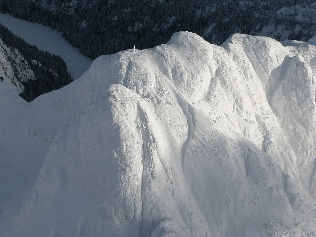
Trail 📍 Hwy 4 corridor · Mount Arrowsmith Massif Regional Park
Mount Arrowsmith Massif Alpine Routes
Hard trail near Hwy 4 corridor (Mount Arrowsmith Massif Regional Park), about 8 h.
Checked
Photo: KenWalker / CC BY-SA 4.0
Backcountry alpine routes across more than 1,300 hectares around Mount Arrowsmith and Mount Cokely, for experienced hikers.
- Difficulty
- Hard
- Time
- 8 h
- Seasons
- summer, fall
Trailhead: Via Cameron Main logging road gate; check RDN access status · Open map
Highlights
- Alpine meadows and ridges
- Panoramic views
- Mount Cokely
Pit stops
- Take Off Adventure Rentals gear Camping and backpacking gear rentals in Coombs
- Coombs Old Country Market food Deli, produce and food vendors on Hwy 4 in Coombs
Sources
- Source: rdn.bc.ca · checked Nov 13, 2026