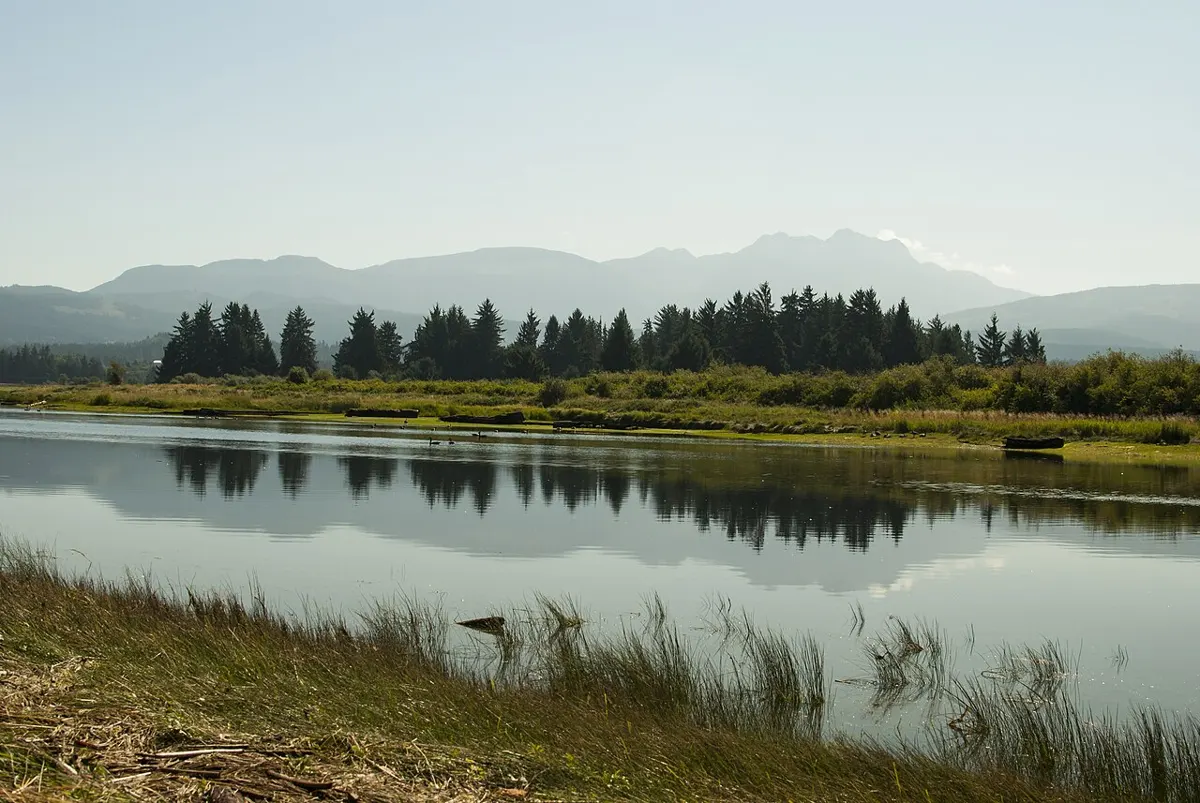
Dog-friendly
Alberni Inlet Trail (Stage 1)
Moderate
- Free
- 2 h there
Outdoors
Valley trail on the edge of town that links to the Log Train Trail and Carriere to Ship Creek Trail for longer outings.
Lake loops, old-growth and waterfalls. Check conditions before you go.
236 trails across Vancouver Island
Moderate
Outdoors
Valley trail on the edge of town that links to the Log Train Trail and Carriere to Ship Creek Trail for longer outings.
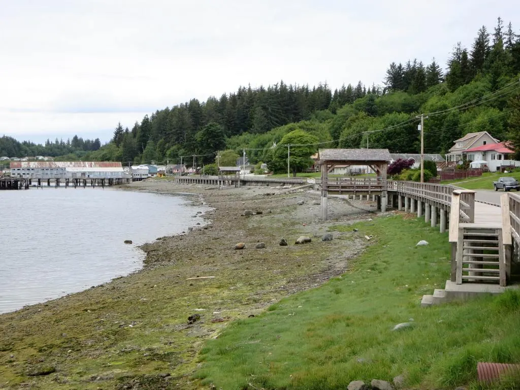
Easy
Outdoors
A harbourfront boardwalk and walkway along Alert Bay's waterfront.
Easy
Outdoors
A gravel logging-road loop linking karst stops such as Devil's Bath and the Eternal Fountain. Allow about 2.5 hours of driving plus walking time.
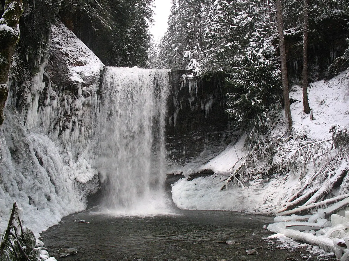
Moderate
Outdoors
Short Difficult-rated trail with stairs and steep sections to a waterfall in a mossy ravine.
Hard
Outdoors
Long, tough route up to the Arrowsmith alpine, rated by the RDN at a minimum of 12 to 14 hours.
Easy
Outdoors
Small natural-area park on Chemainus Road with walking trails, a quick wooded break from the highway.
Easy
Outdoors
The gentlest way into East Sooke: a short walk across open fields to a steep dirt path down to a pocket beach. Picnic shelter and accessible toilets at the lot.
Hard
Outdoors
Steep, uneven climbs from Anderson Cove up to two hilltop lookouts. The leg-burner of East Sooke, and the one reachable by weekday bus.
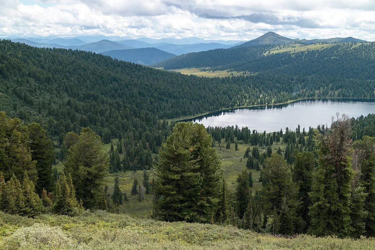
Moderate · 7.6 km
Outdoors
Climb a peninsula on 7.6 km of trails, from gentle to tough, to lookouts over Cowichan Lake, Youbou and Honeymoon Bay.
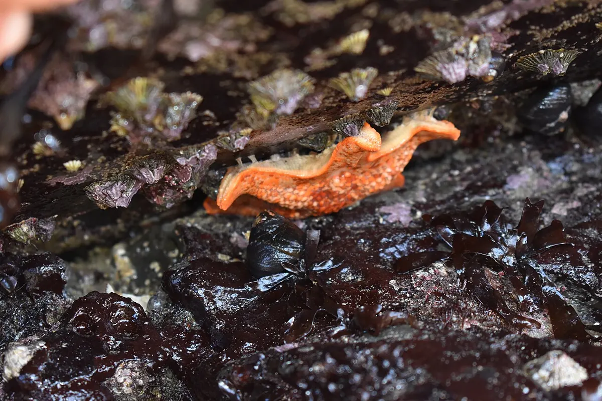
Easy
Outdoors
One-hectare oceanfront park at the peninsula tip: short trails through arbutus, Douglas-fir and Garry oak to a stone beach, tide pools and views to Craig Bay, Mount Arrowsmith and the Coast Mountains.
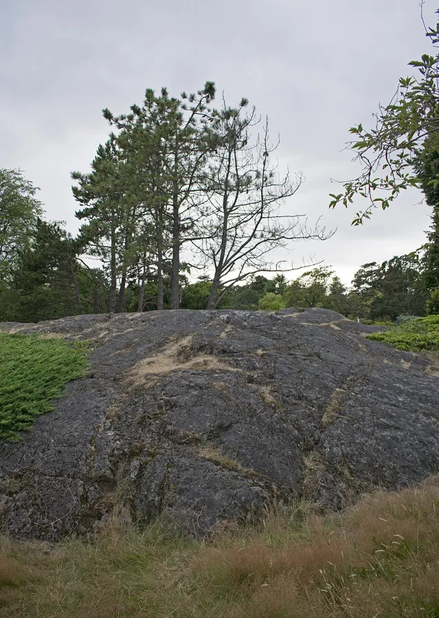
Easy · 3 km
Outdoors
Duck ponds, a petting zoo, giant Garry oaks and the cliff-top edge of the Strait; free and central.
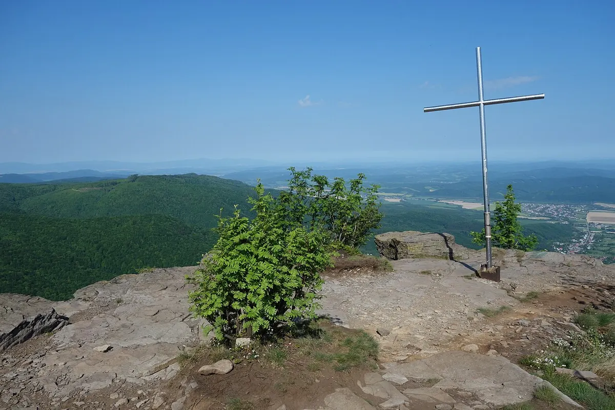
Moderate
Outdoors
Hilly woodland loop-and-spur trails through Douglas fir, Garry oak and arbutus to a summit view of the Peninsula, Mount Baker and the islands. Popular with riders.
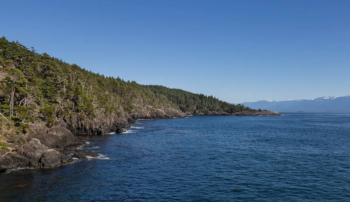
Moderate · 10 km
Outdoors
A 10 km return hike on Malcolm Island to a remote bay, about 5 hours return.
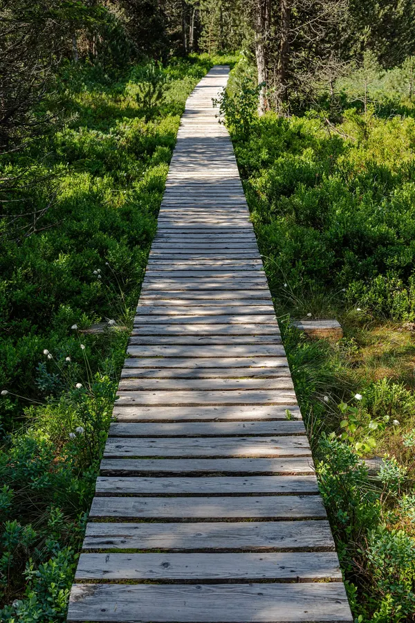
Easy · 1.3 km
Outdoors
A short interpretive loop beside Beaver Lake, close to town and good with kids.
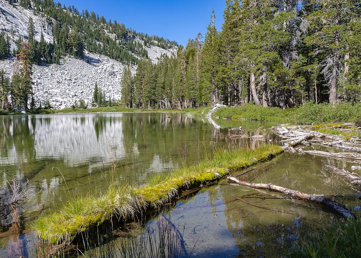
Easy · 5 km
Outdoors
Easy lakeside circuit through Douglas-fir forest with picnic lawns and views of the lake; lively with families and dogs.
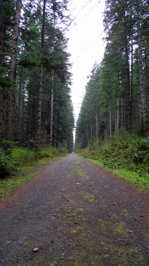
Easy
Outdoors
A forested network of walking and mountain bike trails in the middle of town, handy for a quick leg-stretch or dog walk.
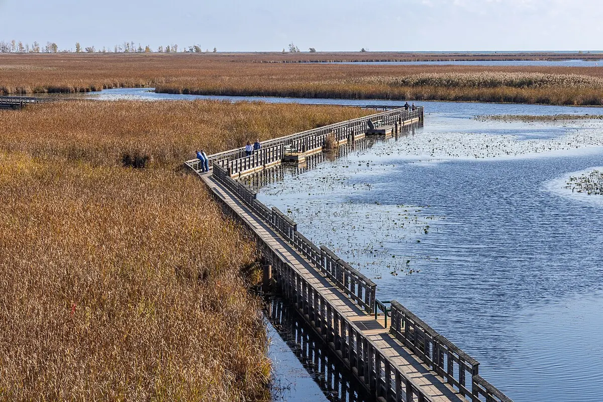
Easy · 1 km
Outdoors
A 1 km rustic path past wetlands where beavers and marsh birds show up, linking to Canyon View and the fish ladder viewpoint across Hwy 28.
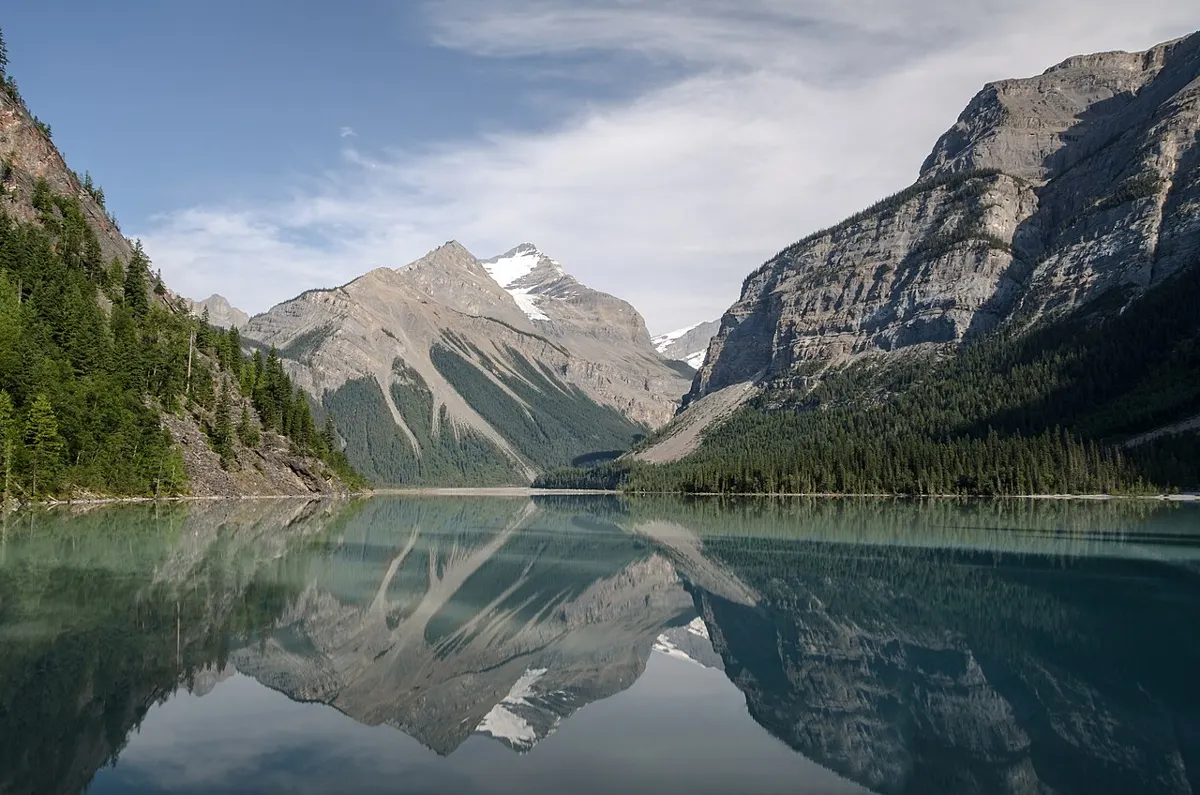
Moderate · 6 km
Outdoors
A steady 6 km climb to Bedwell Lake with good viewpoints; the base for routes on to Cream Lake and Bedwell Sound.
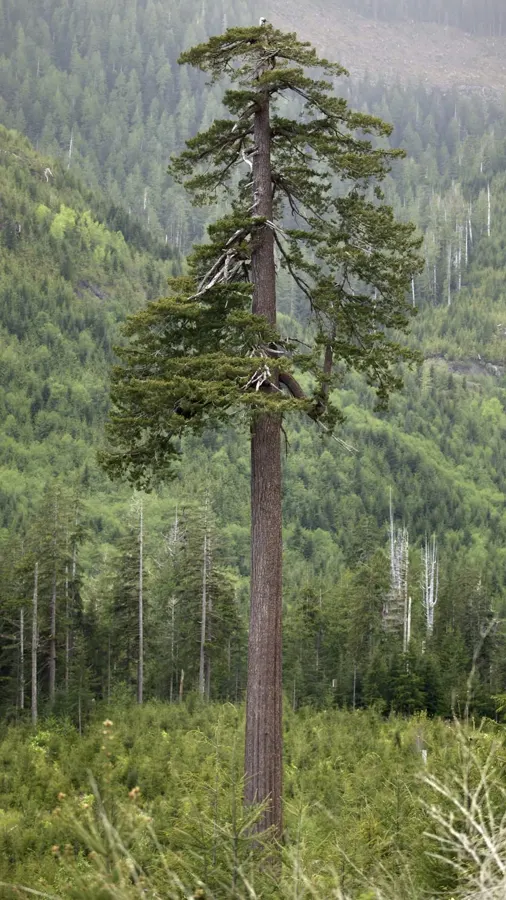
Easy
Outdoors
A roughly 1,000 year old Douglas-fir left standing alone in a clearcut, among Canada's biggest. A short walk from the logging road puts you at its base.
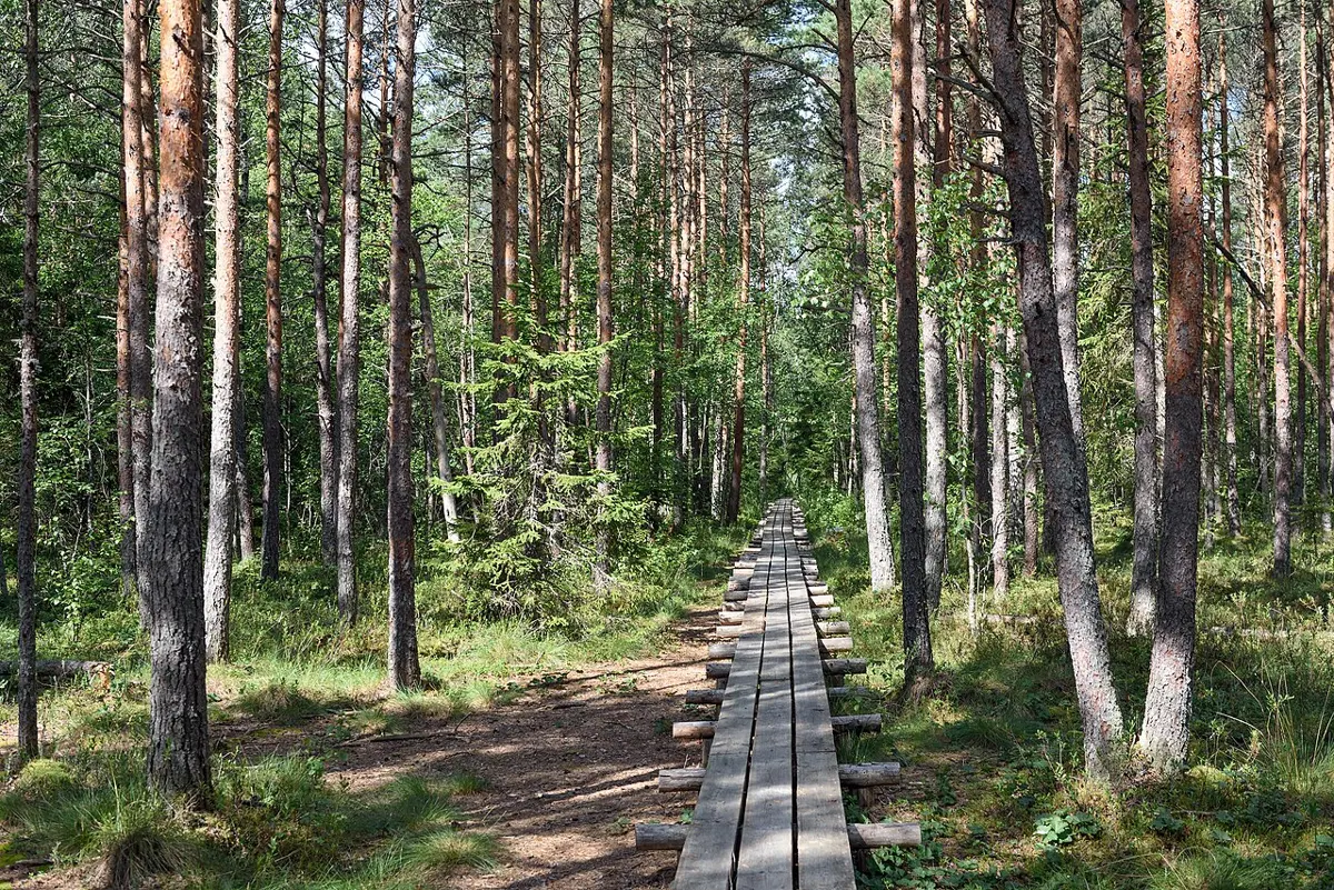
Moderate · 2.4 km
Outdoors
A 2.4 km boardwalk of hand-split planks among colossal red cedars on Meares Island. Reached by a short boat ride from Tofino.
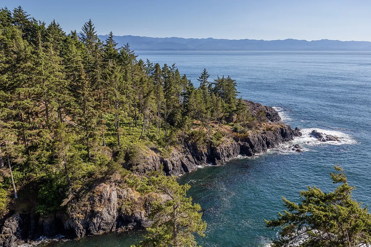
Moderate · 7.7 km
Outdoors
An out-and-back coastal forest trail near Telegraph Cove, 7.7 km return.
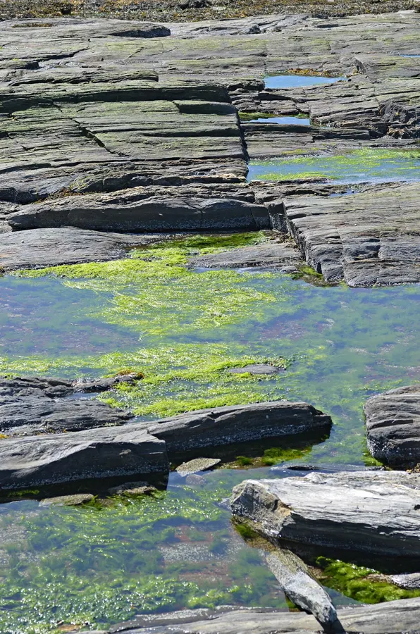
Easy
Outdoors
One of the best intertidal zones on the coast: rock shelves of sea stars, anemones and urchins revealed at low tide. A short walk from the lot to the shore.
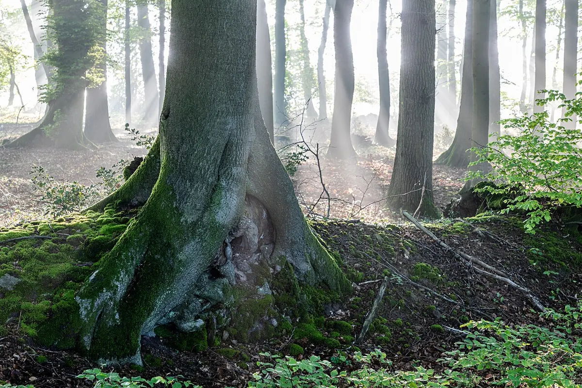
Moderate
Outdoors
An easy-to-moderate forest connector between Botanical Beach and Botany Bay, good for pairing tide pools with a bit of coastal forest.
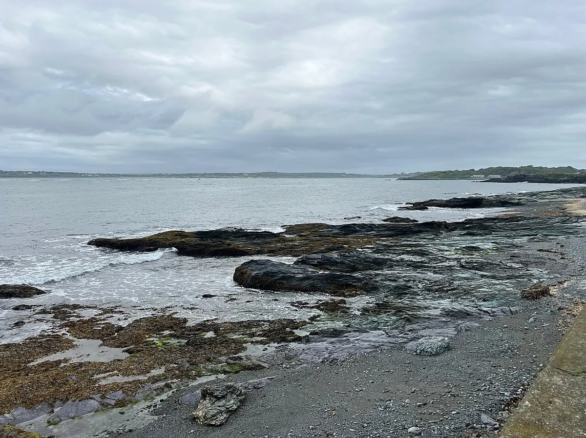
Easy · 3 km
Outdoors
Out-and-back forest walk to the viewpoint at Denman's southern tip, 1.5 km each way.
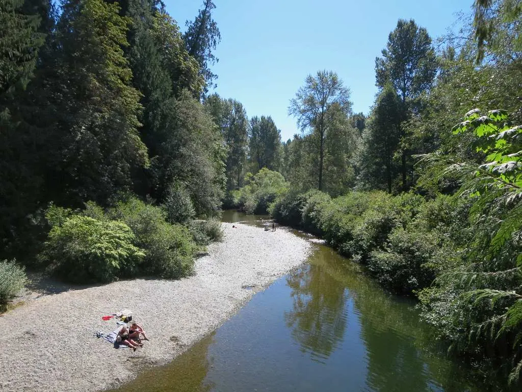
Easy
Outdoors
Easy riverside paths, a swaying cable suspension bridge over the Koksilah, a playground and a shady swimming spot make this an easy family outing.
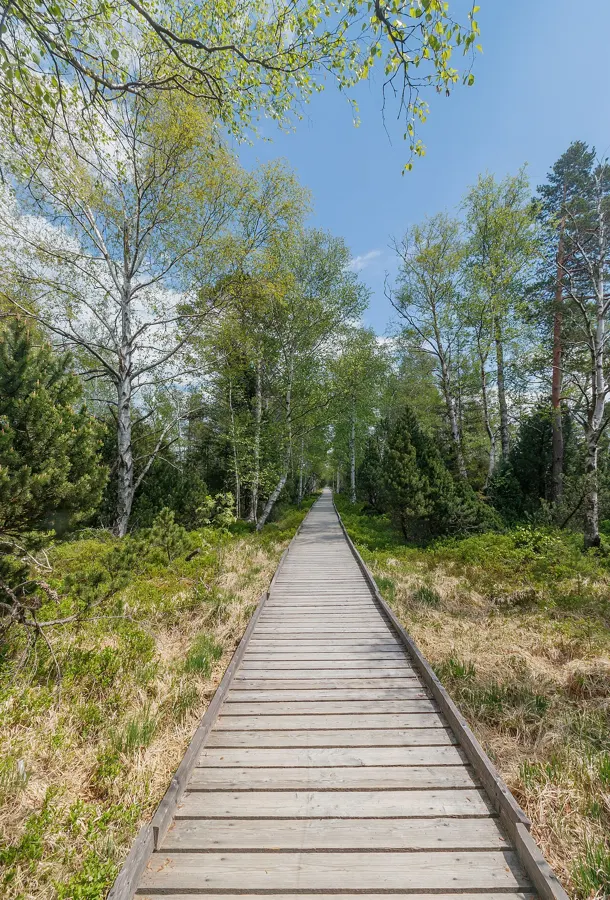
Easy · 1.8 km
Outdoors
A gentle 1.8 km out-and-back along the shore forest with benches, viewpoints and tree ID signs; links to West Bay.
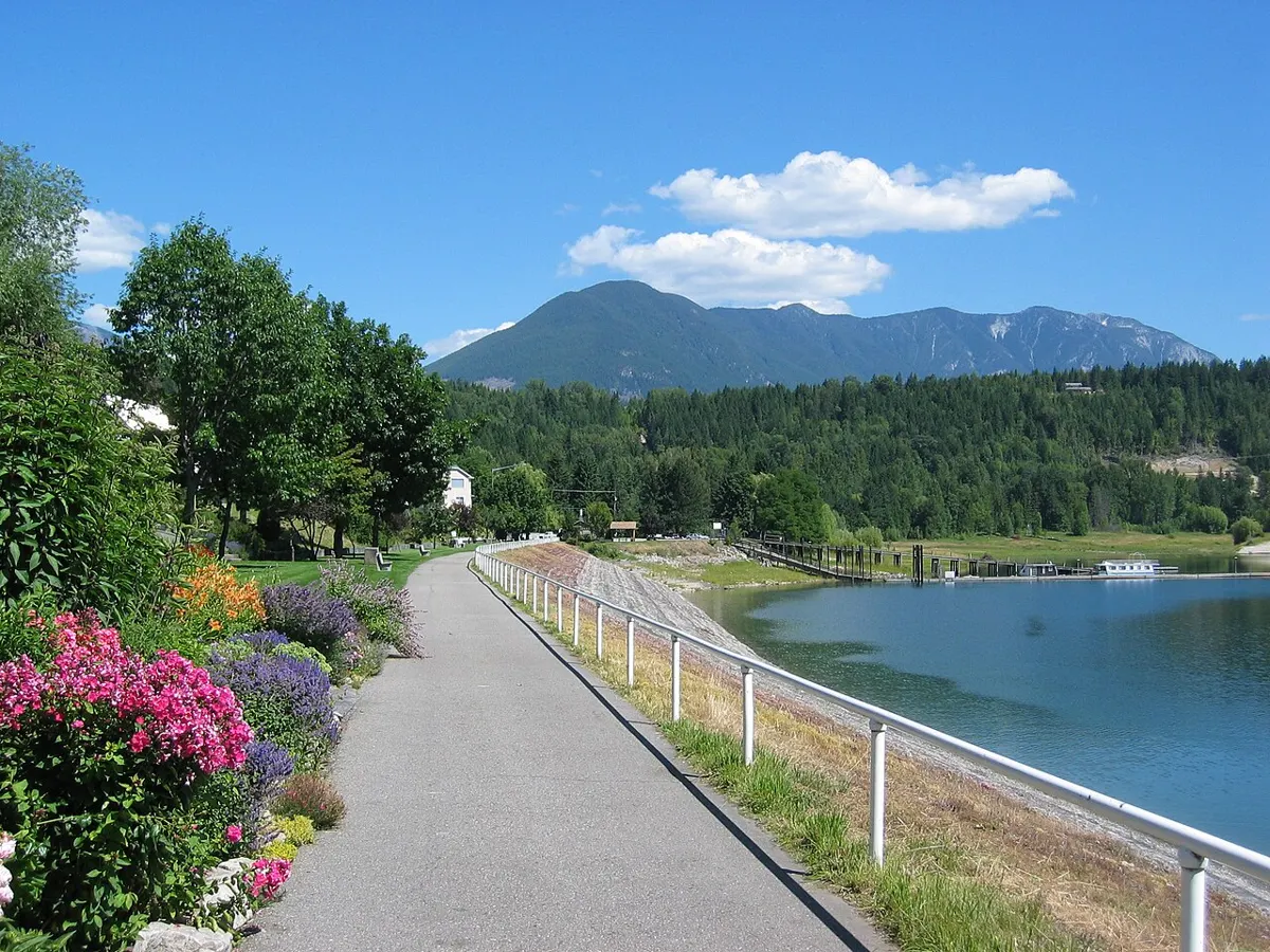
Easy
Outdoors
A tiny forested island in Ladysmith Harbour with a day-use dock and a walking trail around the shore, reached by paddling from Transfer Beach.
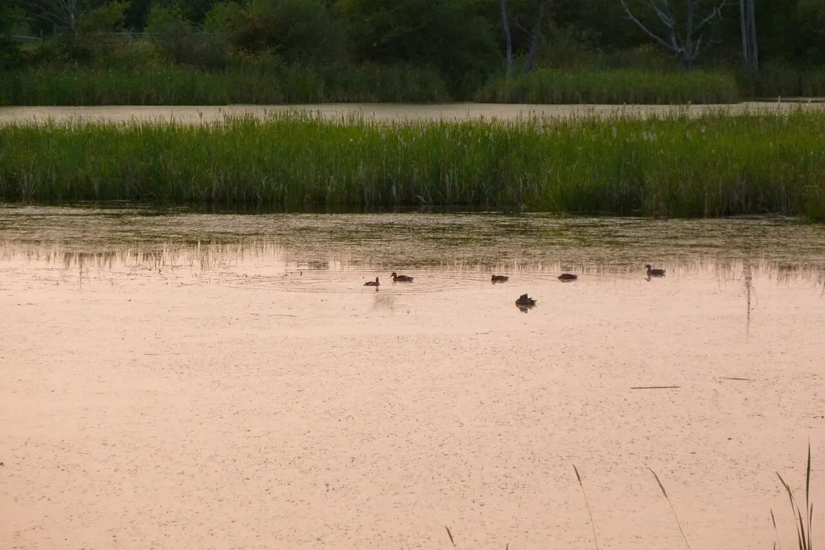
Easy · 2 km
Outdoors
Flat loop around a bird and wildlife sanctuary, a good wet-weather walk with plenty of waterfowl.
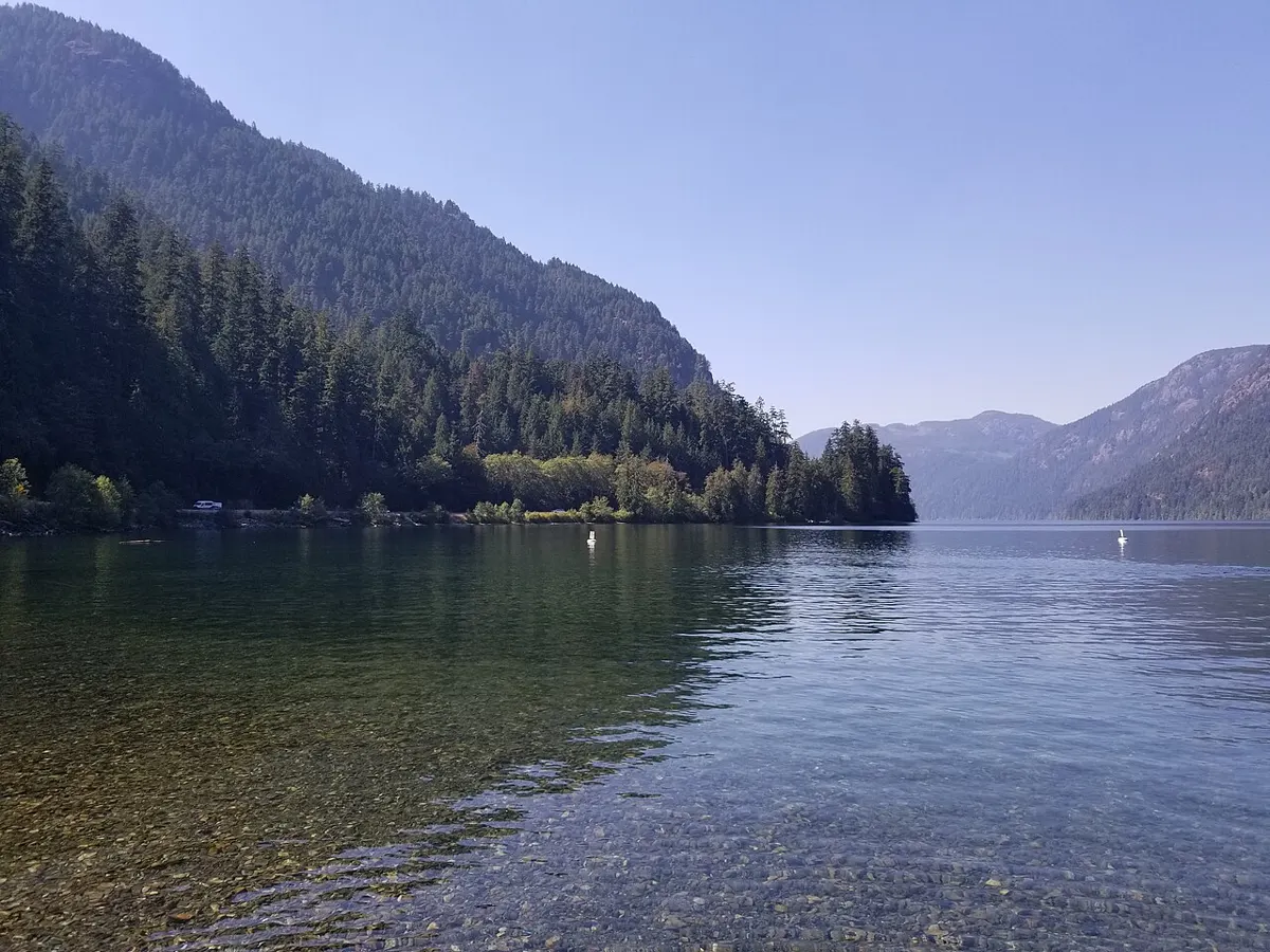
Easy
Outdoors
Lakeside picnic spots and short shore walks on an alpine-fed lake, known for wind sports and summer swimming.
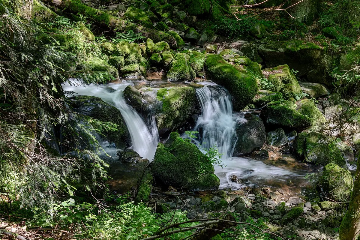
Moderate · 4 km
Outdoors
A 4 km loop through old-growth forest along the Campbell River canyon, with viewing platforms over deep rock gorges and waterfalls.
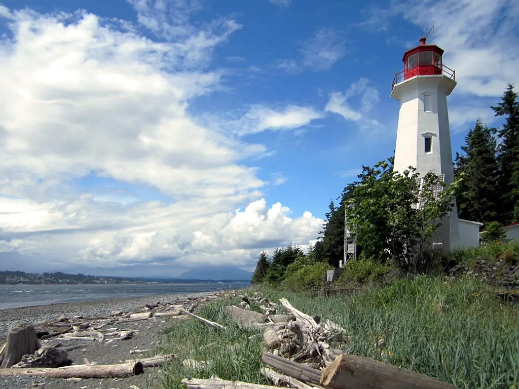
Moderate
Outdoors
A beach-and-road walk from the 100-year-old lighthouse toward Petroglyph Road, with petroglyphs visible at low tide.
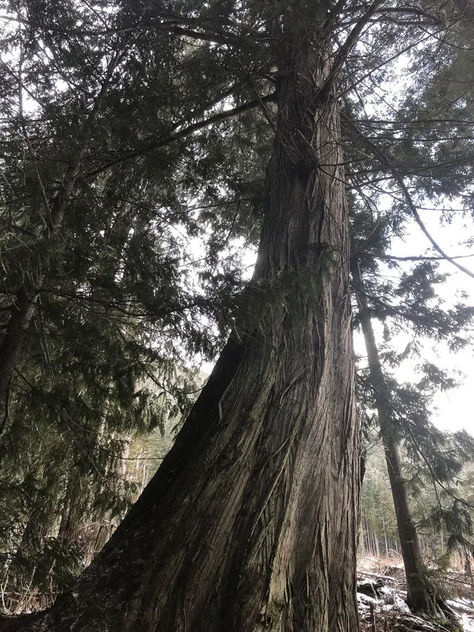
Hard · 23.6 km
Outdoors
The full run to the northwest tip of Vancouver Island. Long, muddy and remote, rewarded by the Cape Scott lighthouse area and beaches along the way.
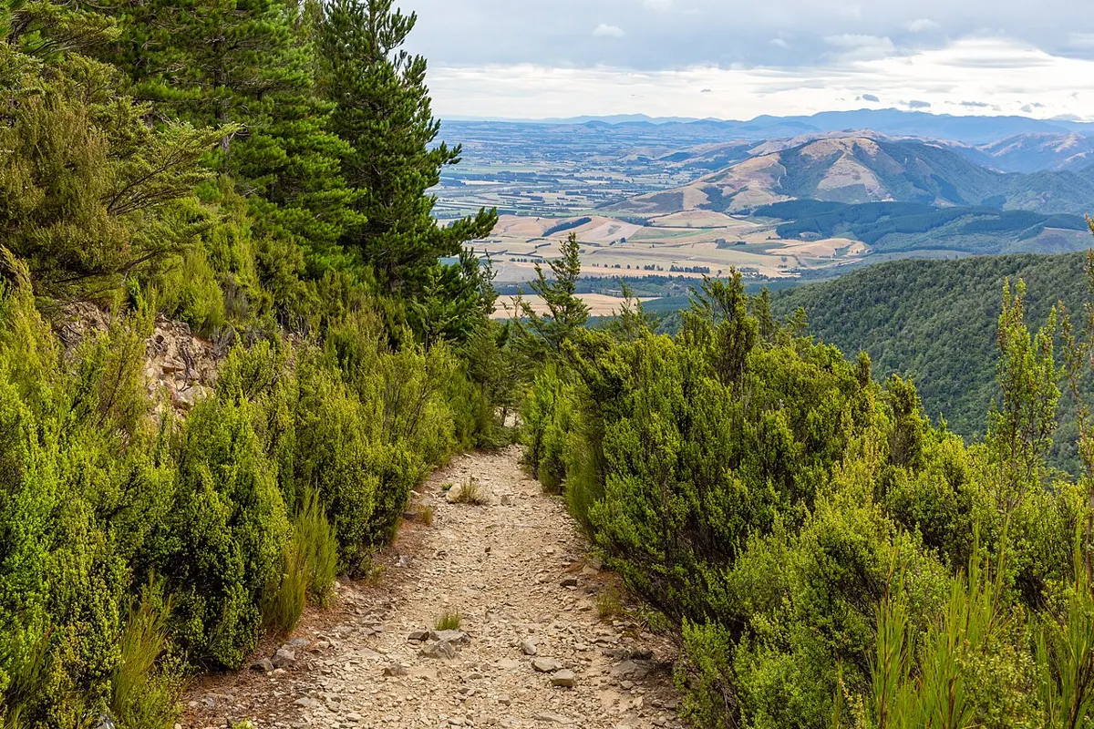
Moderate
Outdoors
Marked forest route along the east edge of town with a high creek crossing; links to the Log Train and Alberni Inlet trails.
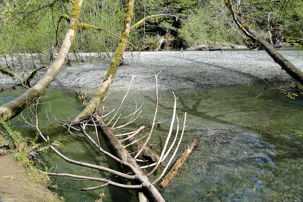
Easy
Outdoors
Short walks among Douglas fir over 800 years old, some wider than 9 m round, on both sides of the highway.
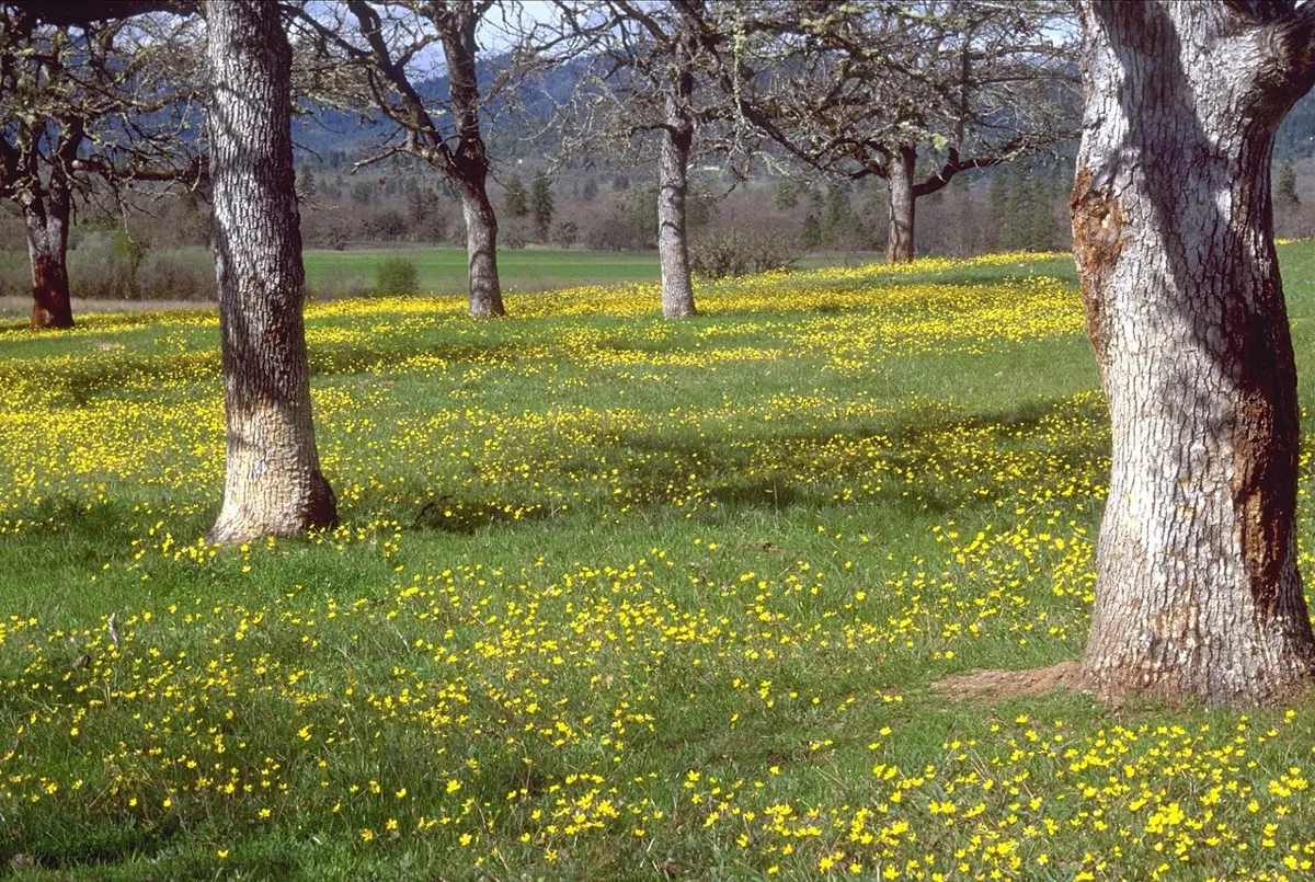
Easy · 3 km
Outdoors
Bluffs, rocky beaches and camas wildflower meadows with views to the San Juans and the Discovery Island Dark Sky preserve.
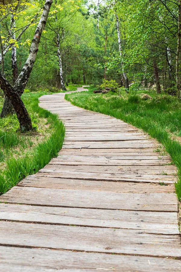
Easy · 1.13 km
Outdoors
Gentle soft-surface path with benches over Cherry Creek and meadow views where deer are often seen.
Easy · 2 km
Outdoors
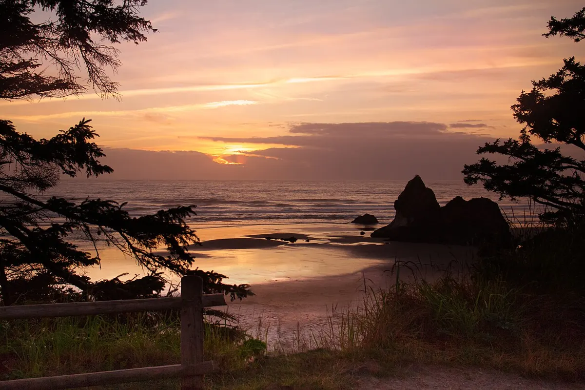
The easy end of the Marine Trail: a short forest walk down to China Beach, with a roughly one kilometre trail onward to quieter Second Beach.
Moderate · 5 km
Outdoors
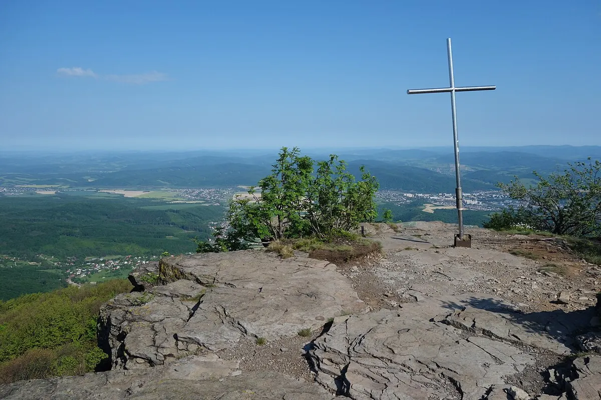
Three bluff peaks (North, South and Beeches Mountain) can be strung into a 5 km loop with views over Discovery Passage, Rebecca Spit and the Coast Mountains.
Easy · 3 km
Outdoors
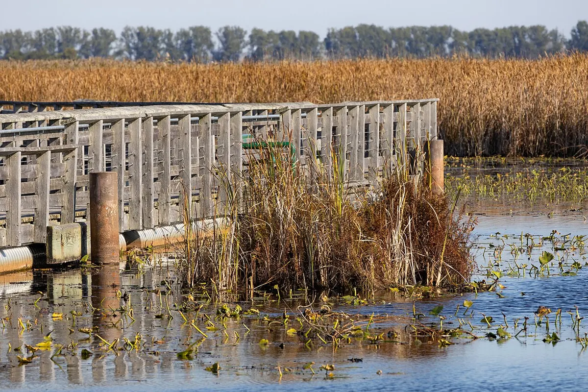
A flat out-and-back through salt marsh to the beach, good for birds and Broughton Strait views.
Moderate
Outdoors
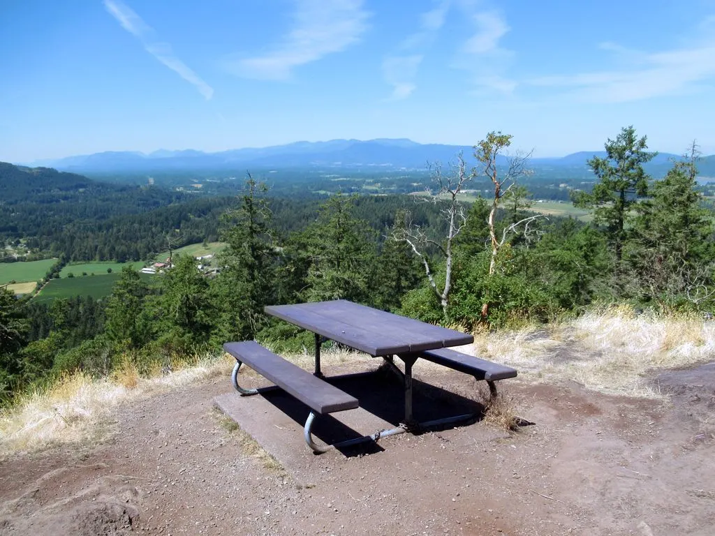
Hike, ride or bike a 26 km web of signed forest trails with several lookouts; the trailhead sits beside a bike skills park and an off-leash dog area.
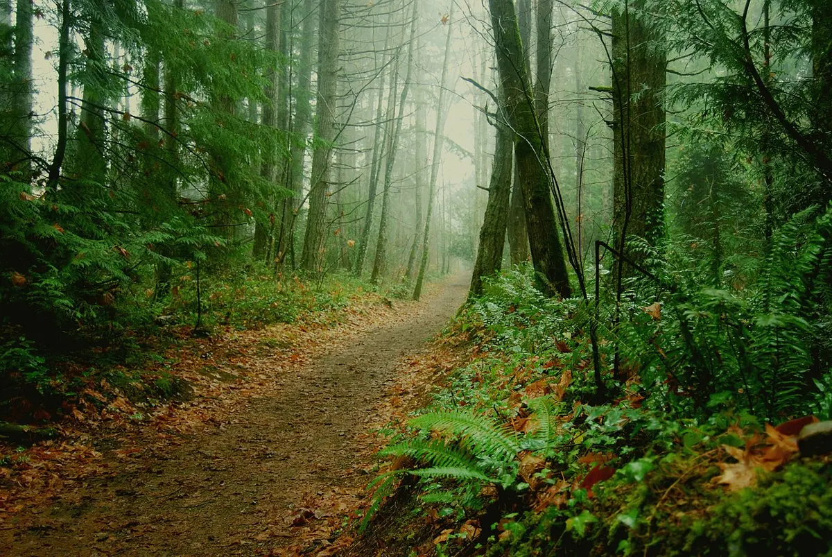
Easy · 2.1 km
Outdoors
Forested walk around two small lakes that once fed coal-era hydro power, with a designated off-leash area at the upper dam.
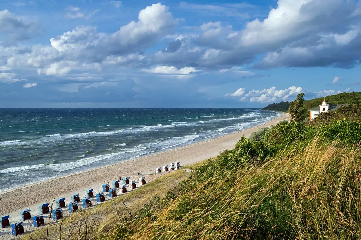
Moderate · 0.5 km
Outdoors
A short gravel and boardwalk descent to the wide sands of Combers and Long Beach. Cross Sandhill Creek with care.
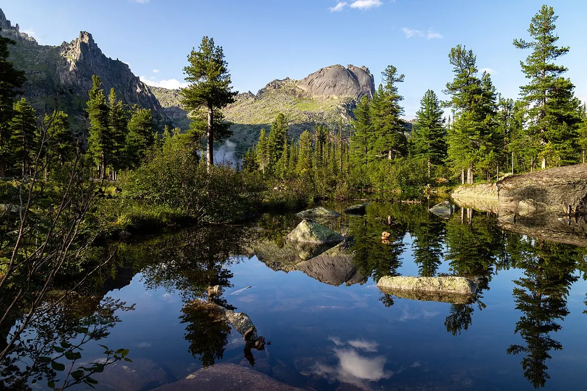
Easy
Outdoors
Lakeside walking on the big glacial lake below the Beaufort Range; good for a lazy afternoon and swimming in summer.
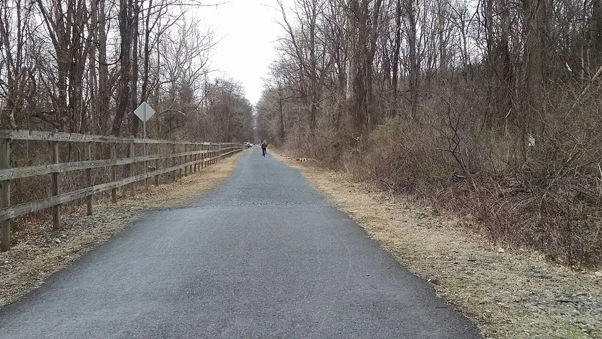
Easy · 7 km
Outdoors
Flat 7 km multi-use path beside the old E&N tracks linking Parksville parks to Coombs. Good for strollers and bikes in any weather.
Easy
Outdoors
A flat, mostly paved riverside path linking parks and downtown Courtenay, good for strollers and bikes.
Easy
Outdoors
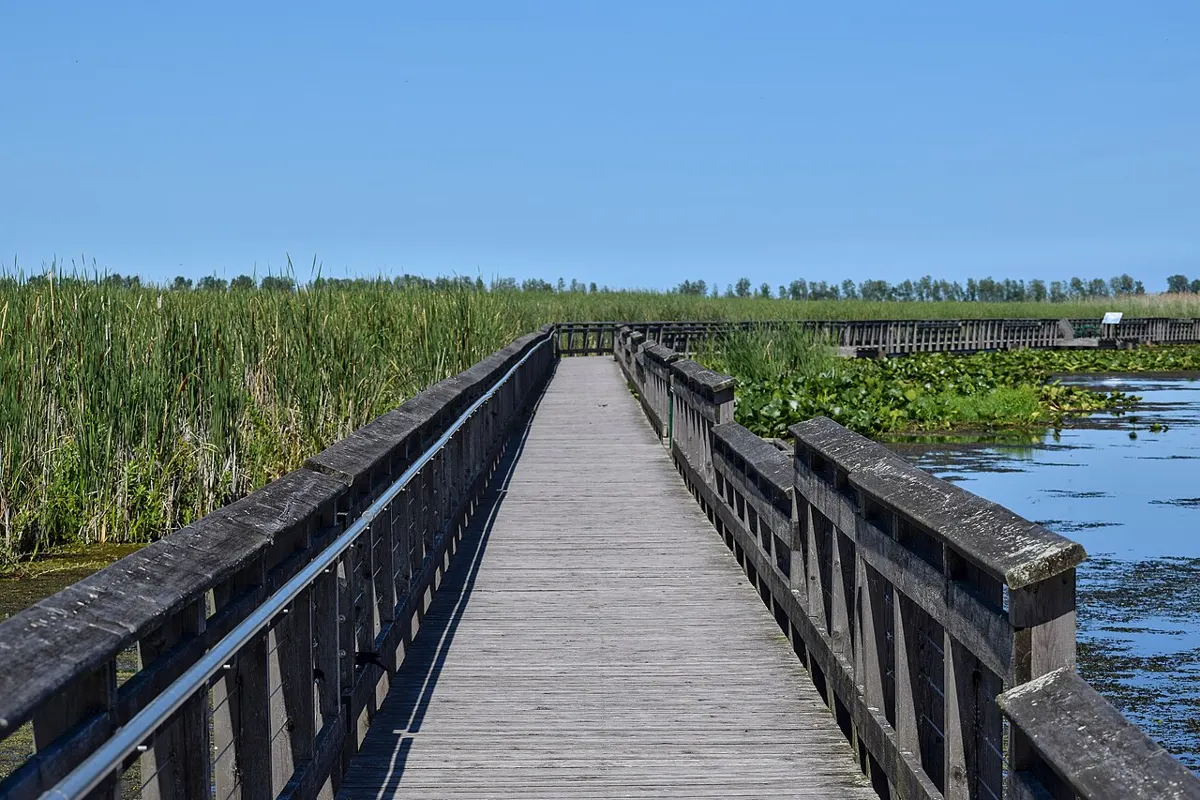
Walk the edge of the 400-hectare Cowichan Estuary, then pop into the nature centre on weekends.
Moderate · 20 km
Outdoors
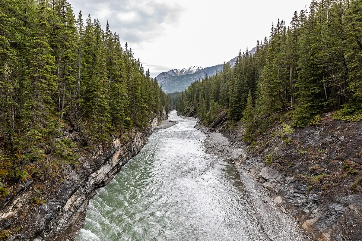
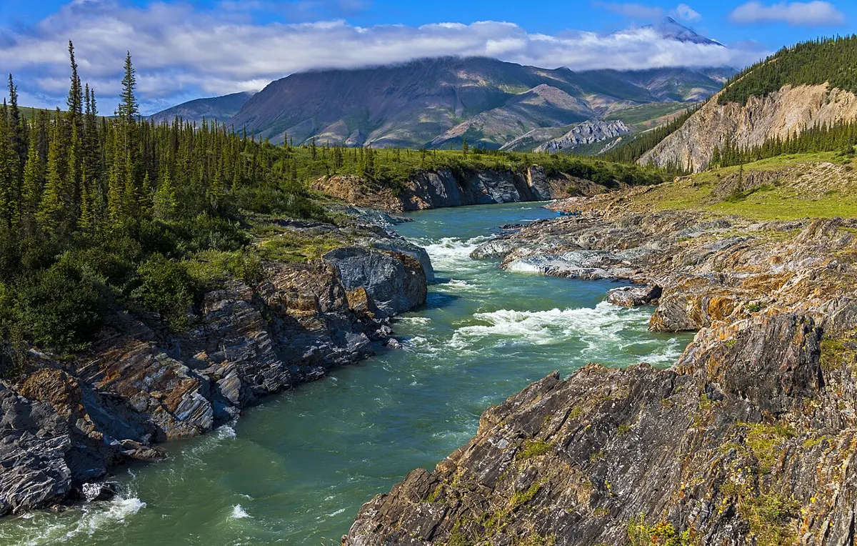
Follow the Cowichan River for about 20 km from Glenora to Skutz Falls, past canyon overlooks, rapids and fall salmon. Walk a stretch or the lot.
Easy
Outdoors
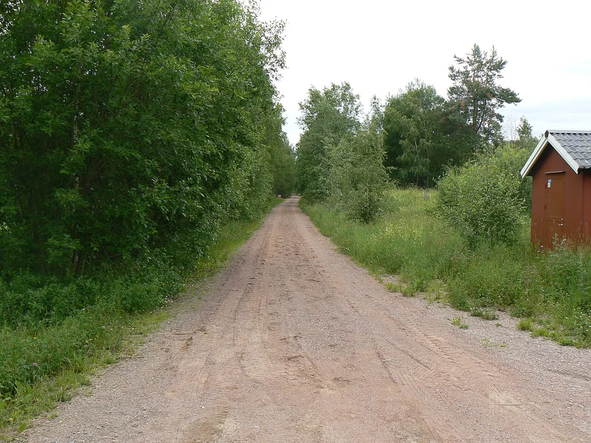
The Trans Canada Trail through the valley: wide, mostly flat gravel on an old rail bed with restored trestles, running from Shawnigan Lake and Kinsol out to Lake Cowichan.
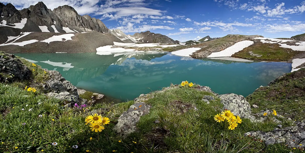
Hard · 5 km
Outdoors
A relentless 1,250 m climb to an alpine tarn and ridge with great views over Buttle Lake from above 1,300 m.
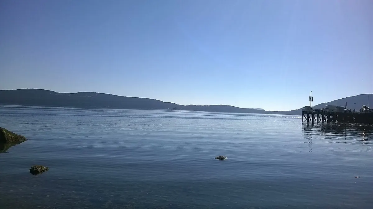
Easy
Outdoors
Flat, accessible waterfront boardwalk along the Crofton shore with a washroom, good for a short sea-air stroll.
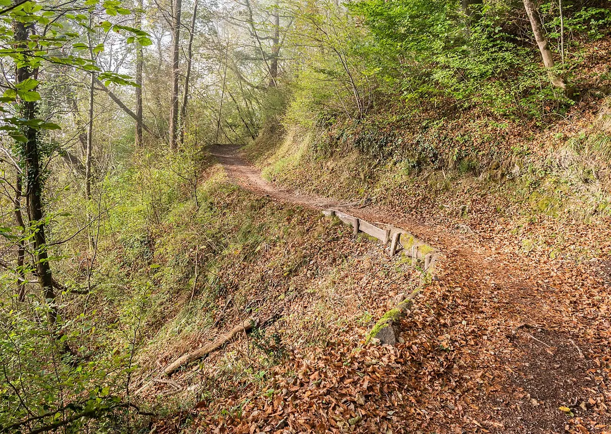
Moderate
Outdoors
A village-owned second-growth forest laced with shared hiking and mountain biking trails; walk the quieter tracks and yield to bikes.
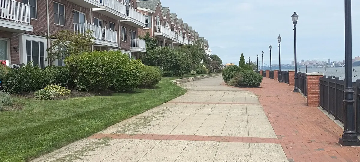
Easy · 4 km
Outdoors
Flat seaside promenade past Fisherman's Wharf, Clover Point and Ogden Point with Olympic Mountain views; the capital's dog-walking highway.
Hard · 15 km
Outdoors
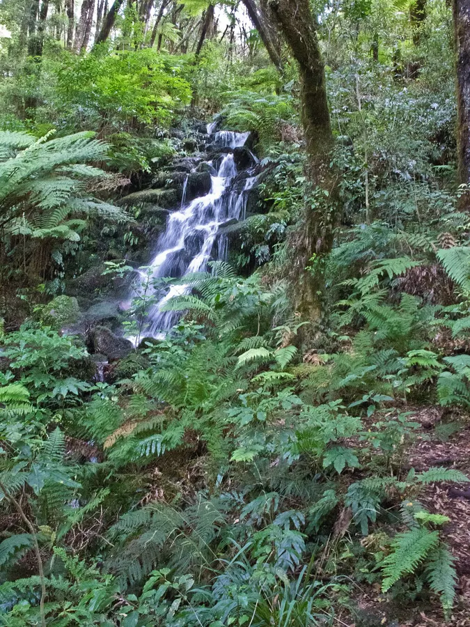
A long backcountry trek to the base of Della Falls, a 440 m three-tier cascade among Canada's tallest. You cross Great Central Lake by boat first, so this is a proper expedition.
Easy
Outdoors
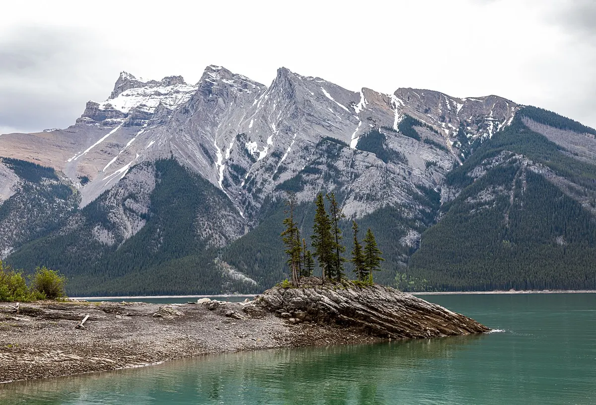
A huge flooded sinkhole, about 359 m around and 44 m deep, viewed from a platform. One of the best karst stops on the Alice Lake Loop.
Easy · 2 km
Outdoors
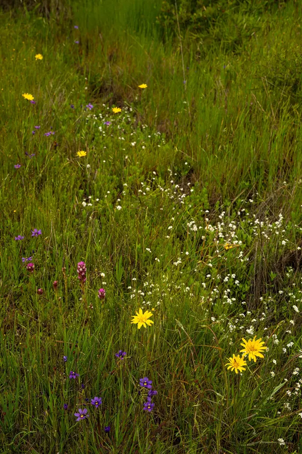
Short, gentle loops from the day-use area wind through Garry oak and open meadow to sandstone shoreline, with views across the Strait to the Coast Mountains. An easy ferry-day walk.
Easy · 2 km
Outdoors
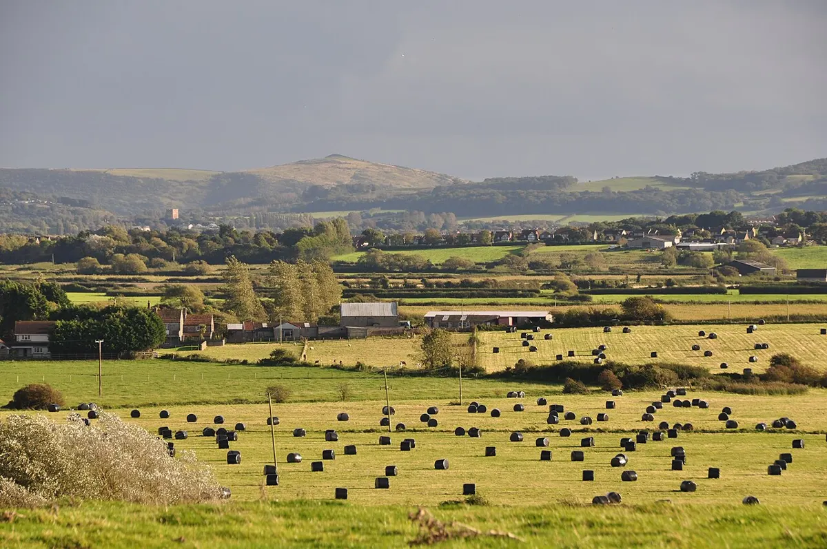
Easy loop of more than 2 km through field and along the stream.
Hard · 10 km
Outdoors
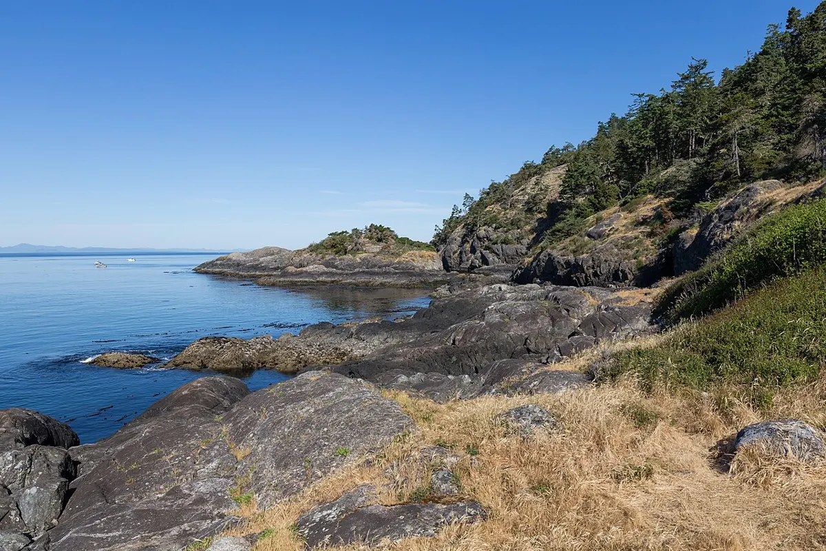
The park's rugged 10 km shoreline route: pocket beaches, rocky bays and tide pools with Olympic Mountain views. A genuine all-day scramble that rewards the legwork.
Easy · 0.8 km
Outdoors
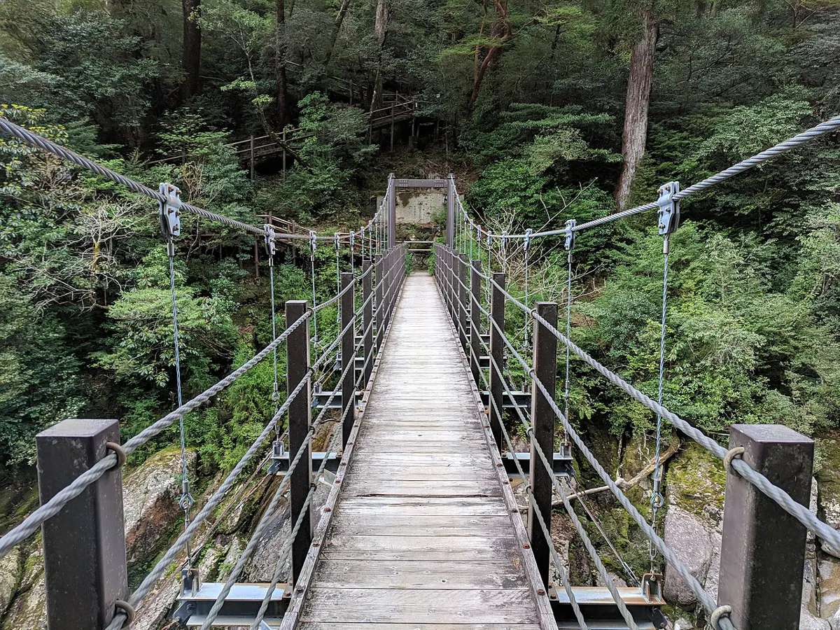
Stairs down to a suspension bridge slung above the Elk Falls canyon, plus lookouts on both sides. A big payoff for a short walk, great after rain.
Easy · 10 km
Outdoors
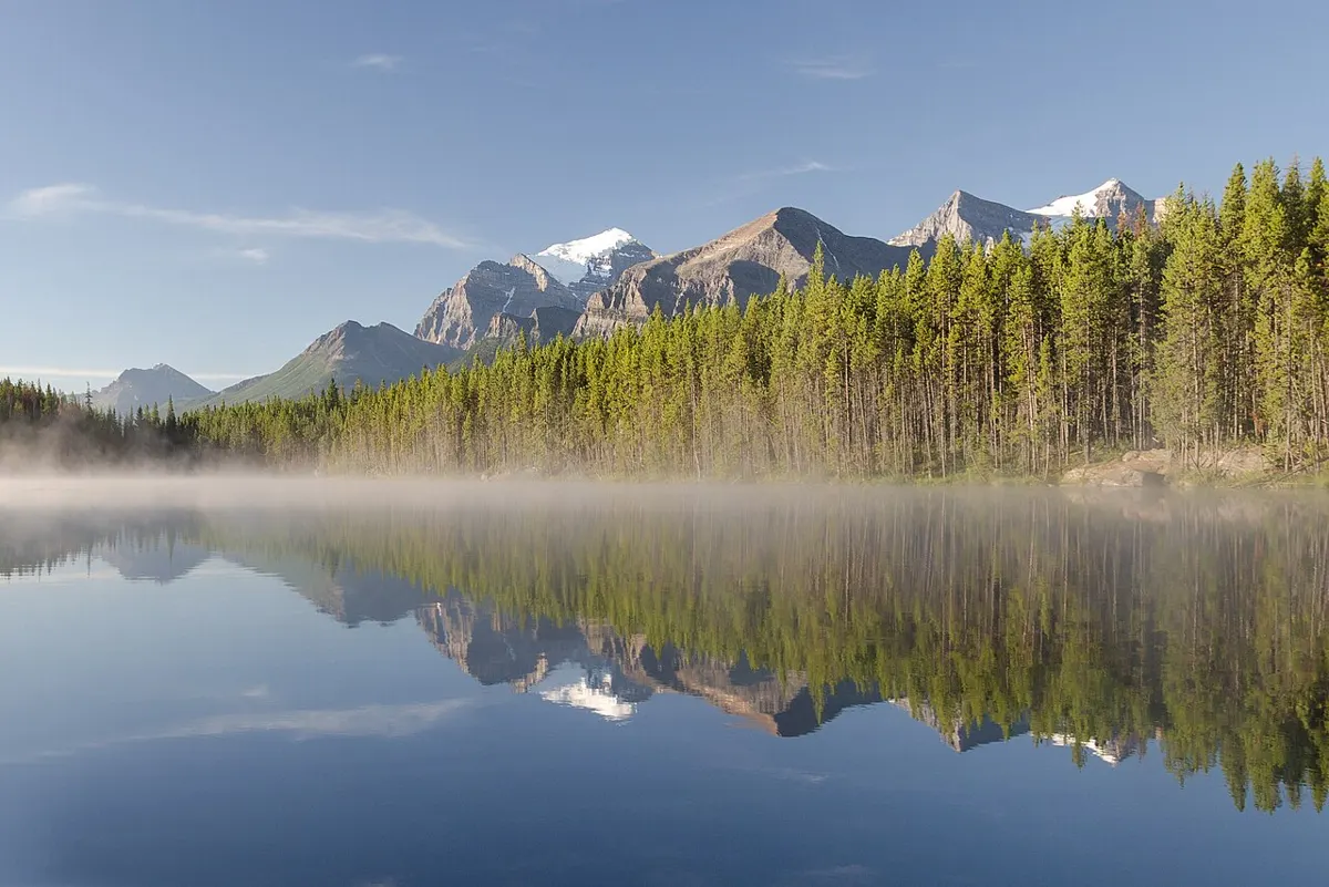
Flat gravel and boardwalk circuit of Elk Lake with rowing clubs, water views and room for walkers, joggers and cyclists.
Moderate · 11 km
Outdoors
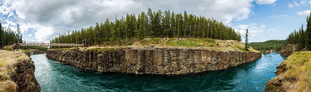
A long valley walk beside the Elk River that finishes with a climb to Landslide Lake in a cirque; day hike or overnight.
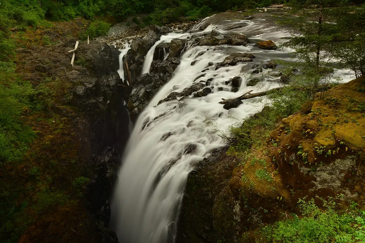
Easy
Outdoors
Forest trails along the river to two waterfalls, two bridges and a deep canyon pool.
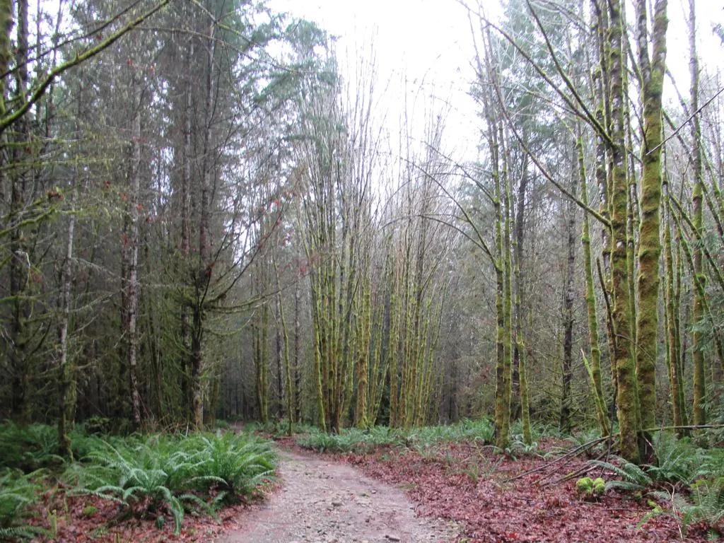
Easy
Outdoors
River corridor park with side-channel salmon habitat, wide trails and the Top Bridge suspension bridge.
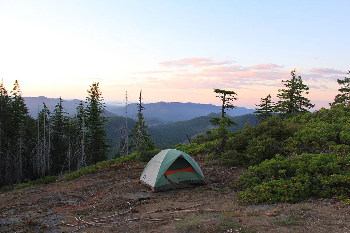
Moderate · 3 km
Outdoors
A short, muddy push into the park to the largest lake in Cape Scott, with a small first-come campsite. Good shakedown for a longer trip toward Nels Bight.
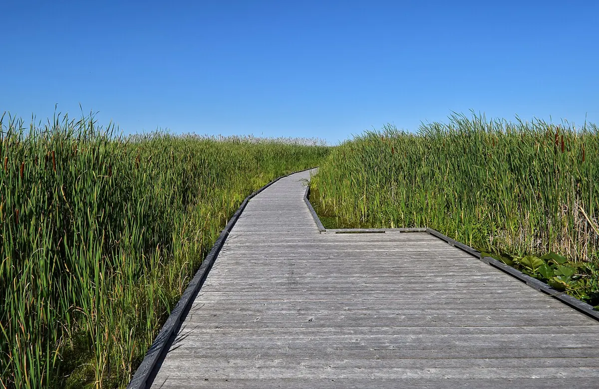
Easy · 3.5 km
Outdoors
Sand spit separating lagoon from the Strait, a bird sanctuary with seals, swans and migrating waterfowl in autumn.
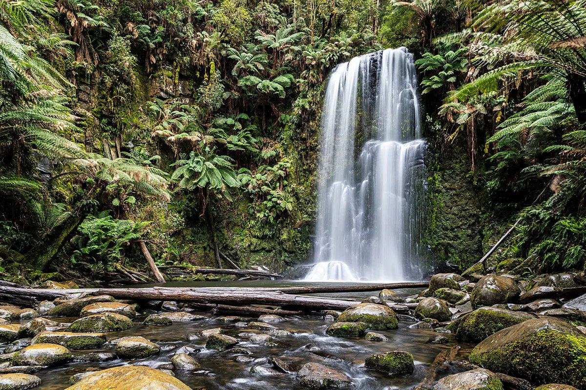
Easy
Outdoors
A short forest walk to a stream that bursts out as a waterfall and then vanishes into a cave. Great karst scenery for little effort.
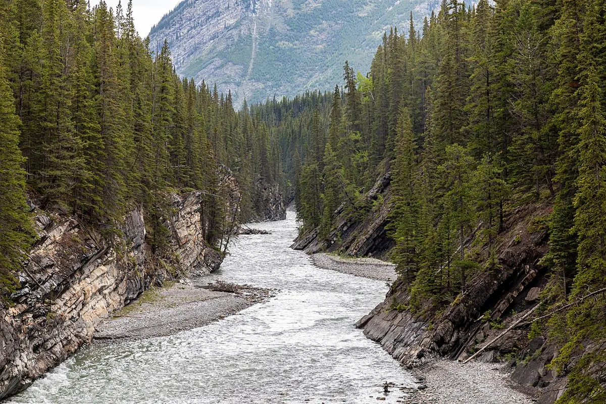
Easy · 2 km
Outdoors
About 2 km of accessible paths: a loop around the old estate field and a creek canyon forest trail.
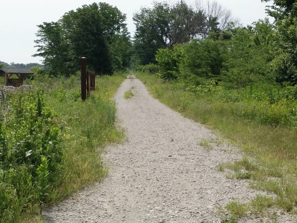
Moderate
Outdoors
Flowy mountain bike trail through mature forest, also used by runners and hikers.
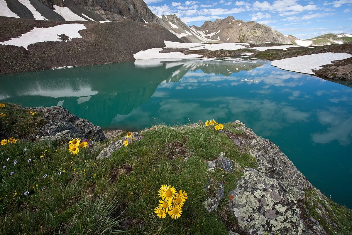
Hard · 6 km
Outdoors
Steep, rough climb onto an open alpine ridge with striking viewpoints over Buttle Lake and the surrounding peaks.
Hard
Outdoors
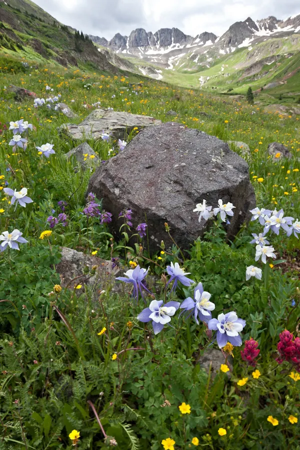
Backcountry plateau of lakes, meadows and peaks reached from Paradise Meadows; day hikes or overnighters.
Moderate · 3.7 km
Outdoors
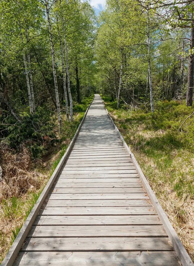
Follows the old Kwakiutl overland route from Storey's Beach to Bear Cove on boardwalk and gravel, with some climbs and culturally modified trees.
Easy · 2.5 km
Outdoors
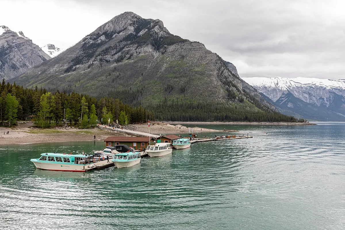
Second-growth forest walk on the Sproat Lake shore leading to an old homestead site.
Easy · 3 km
Outdoors
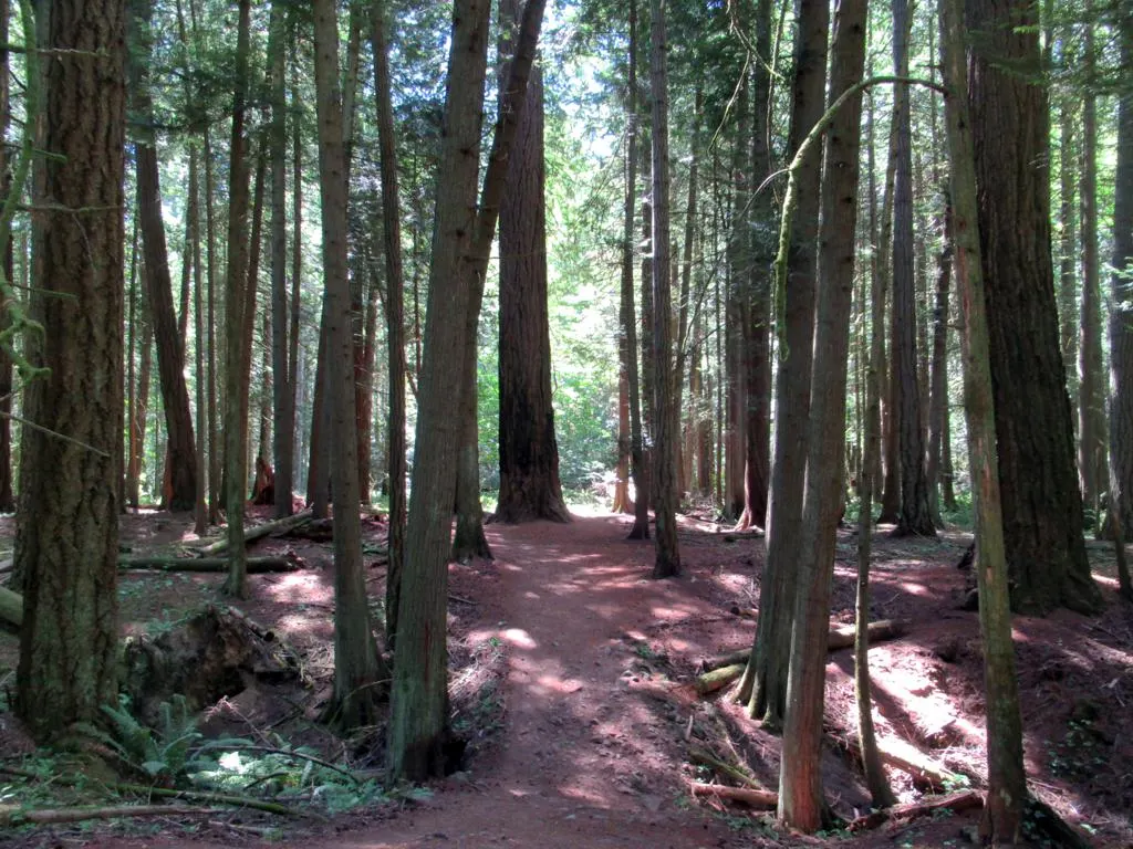
Gentle forest walks past ancient Douglas-firs, a rock outcrop and a nature centre; a good Hartland-adjacent quiet loop.
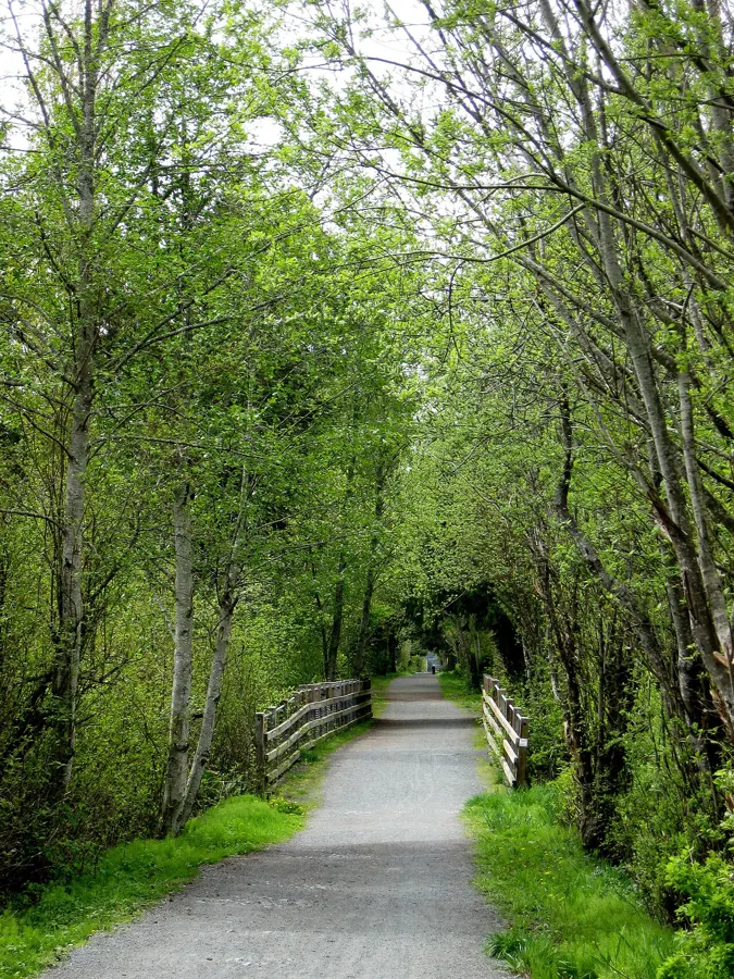
Easy
Outdoors
Gravel rail-trail through the West Shore with lake views and forest stretches; link Langford to Colwood by foot or wheel.
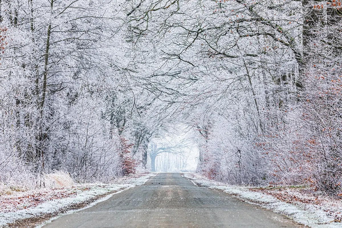
Easy · 6 km
Outdoors
Flat rail-trail walk or ride from the Johnson St Bridge along the Selkirk Waterway past the trestle into Saanich.
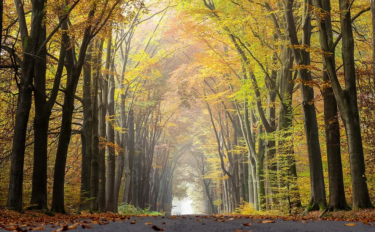
Moderate · 13 km
Outdoors
The Sooke end of the old railway line: 13 km one way from Roche Cove to the Potholes along a multi-use gravel trail. Walk a stretch, ride it, or shuttle with the #61 bus.
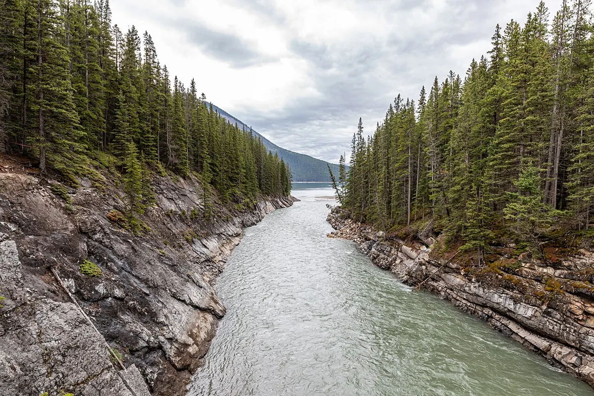
Easy
Outdoors
Eastern gateway to the Cowichan River Footpath, Cowichan Valley Trail and Holt Creek Trestle, with a playground, zipline and horse-trailer parking.
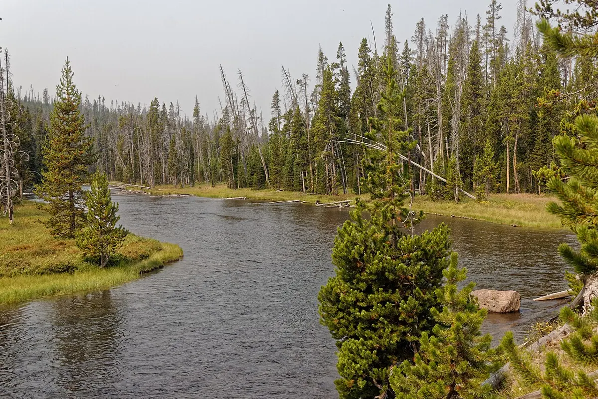
Easy · 1.5 km
Outdoors
Boardwalk trails along the river where chum salmon spawn each autumn, with bald eagles gathering for the feast in Nov-Dec.
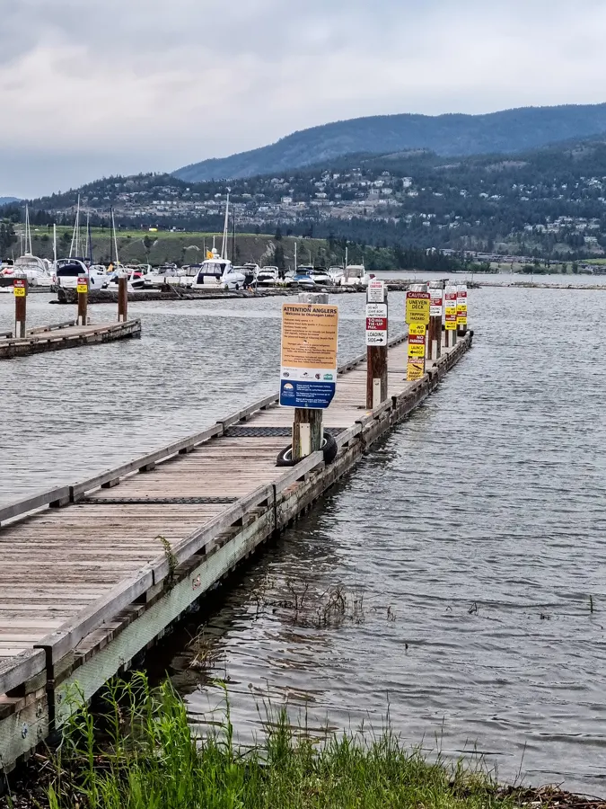
Easy
Outdoors
A sandy spit stretching into Comox Harbour with views to the Beaufort Range and the glacier on a clear day.
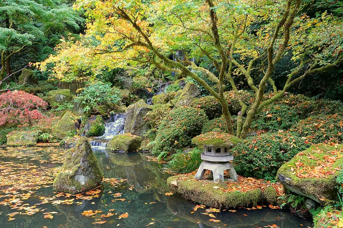
Easy · 3 km
Outdoors
Waterside paths and lawns along the tidal inlet, with paddlers, herons and Japanese garden views at Fairfield Park on the Victoria side.
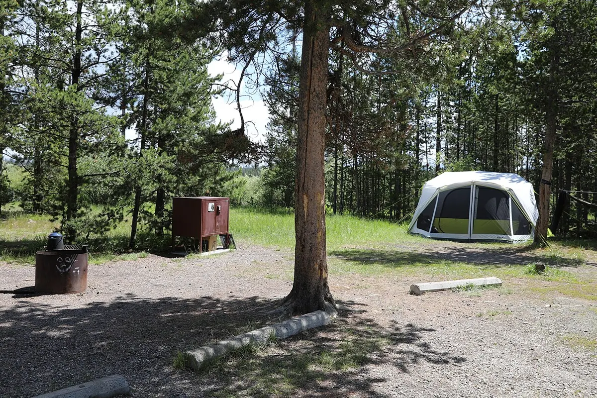
Easy · 1 km
Outdoors
A very short path from the recreation site to an exposed Pacific beach with beachfront camping. Little published detail; check road conditions before heading out.
Hard
Outdoors
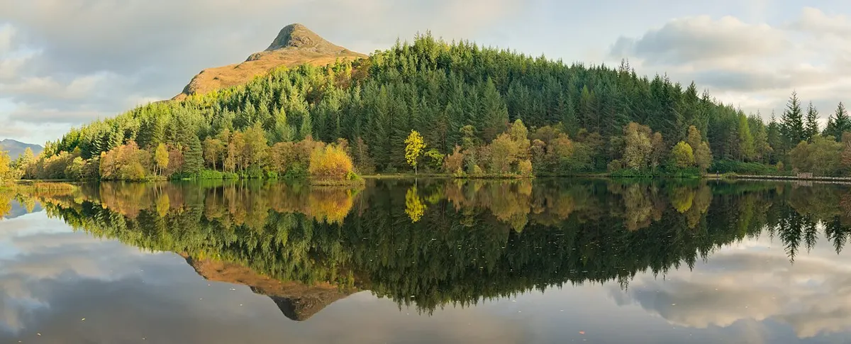
A rugged 1,277 ha park of lakes, lagoon, estuary and old growth; Cliff Peak is the island's highest point and a tough climb.
Moderate · 1.4 km
Outdoors
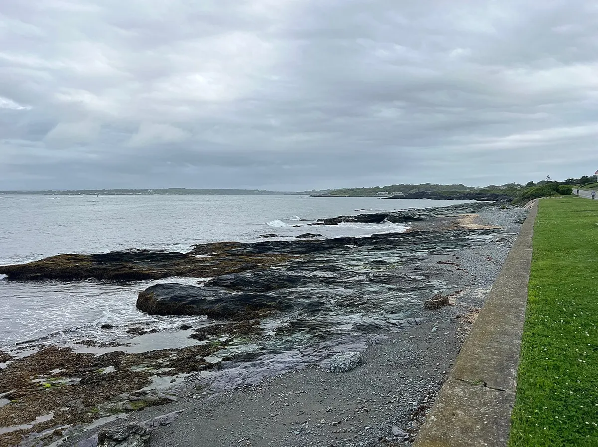
A 1.4 km forest path down to Florencia Bay, ending with a steep staircase. The quiet south end of a famously photogenic bay.
Moderate · 1.8 km
Outdoors
Extends the Willowbrae path to a small, remote beach at Half Moon Bay. Muddy, stair-heavy and worth it for the quiet.
Hard · 6.4 km
Outdoors
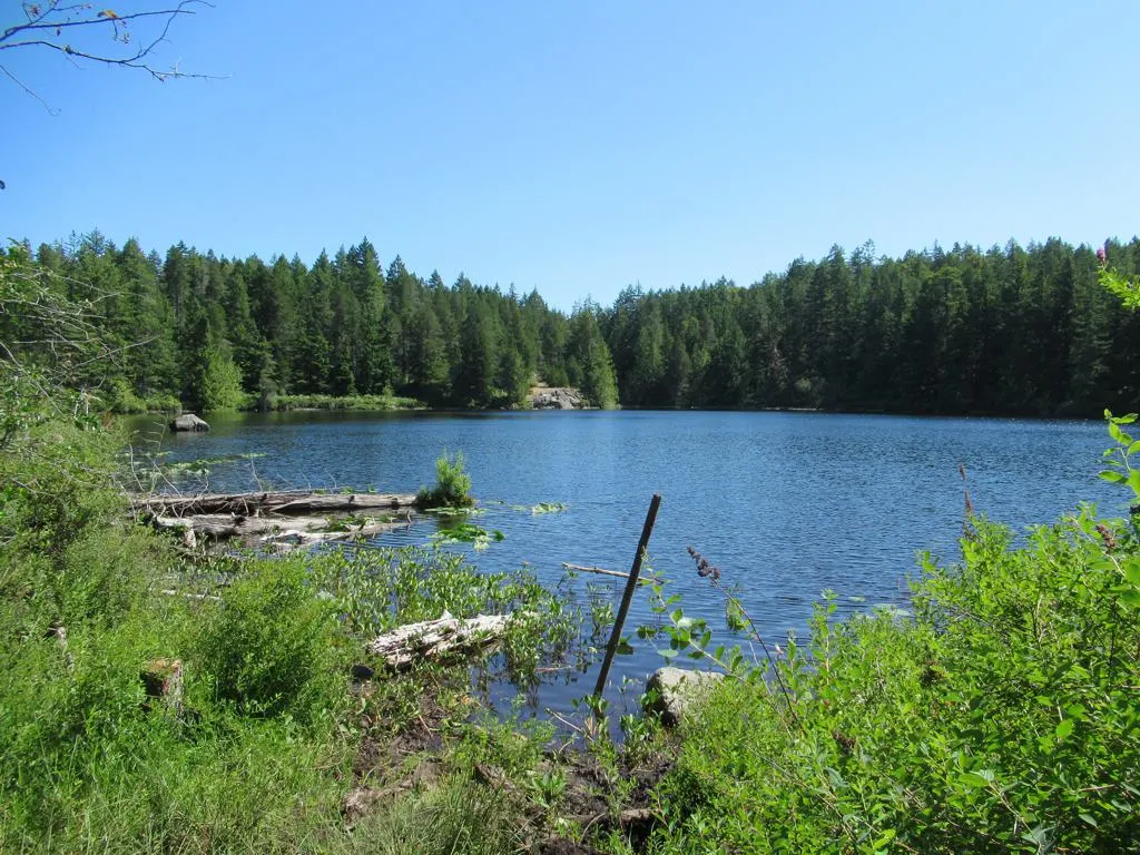
A steep 6.4 km climb to a quiet lake above Ladysmith, with views of the Gulf Islands and Mount Baker on the way.
Easy · 5 km
Outdoors
Loop through old-growth fir and arbutus along cliffs high above Tribune Bay and the Strait.
Easy · 11 km
Outdoors
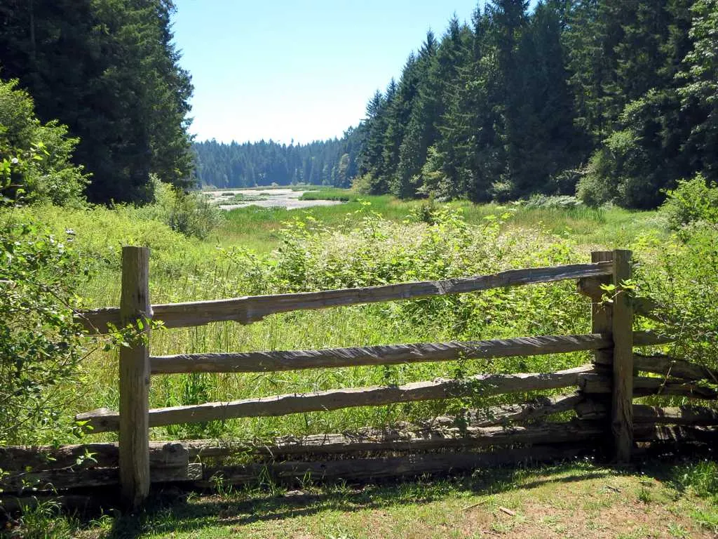
Mellow forest paths around Holden Lake and its marsh, with a viewing platform for trumpeter swans and eagles, farmstead remains, and the old rail grade known as Heritage Way.
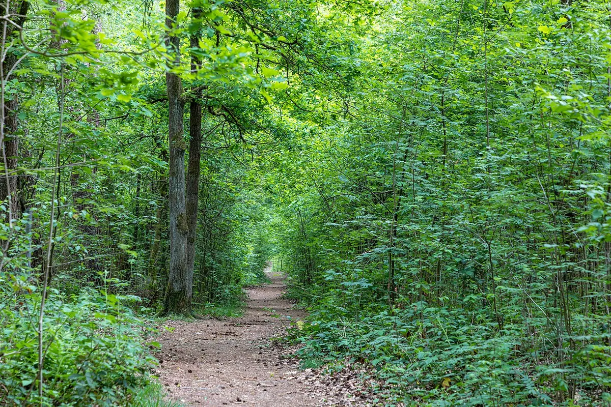
Easy
Outdoors
A stair-climbing stroll past 1940s float homes, the heritage St. Joseph's church and Tipperary Park's inlet view.
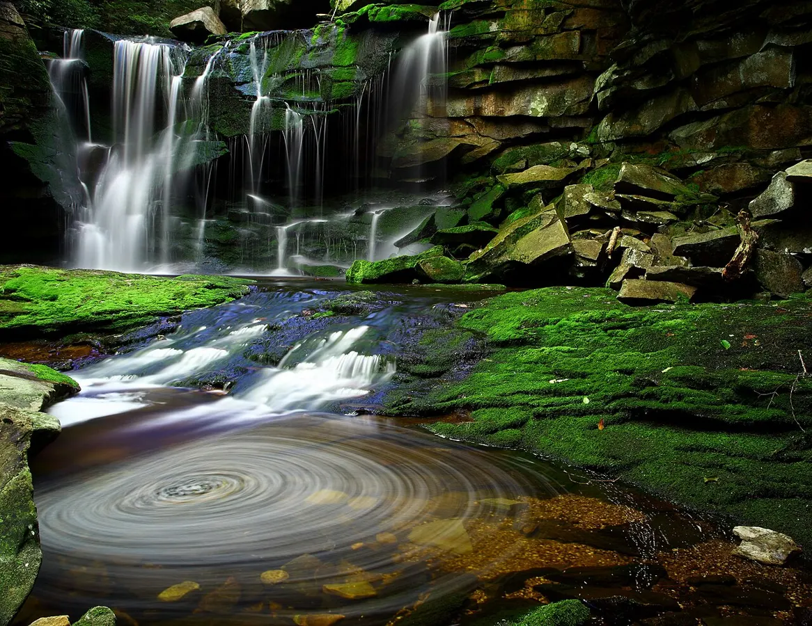
Easy · 5.8 km
Outdoors
A 5.8 km trail along both sides of Holland Creek past Crystal Falls and the Colliery Dams, with salmon spawning each fall.
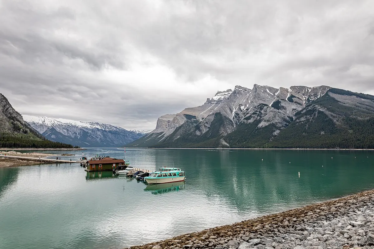
Easy
Outdoors
Forest and lakeshore paths below the cliffs of Mount Mark, next door to Horne Lake Caves. Good for a family lakeside wander, a swim or a paddle.
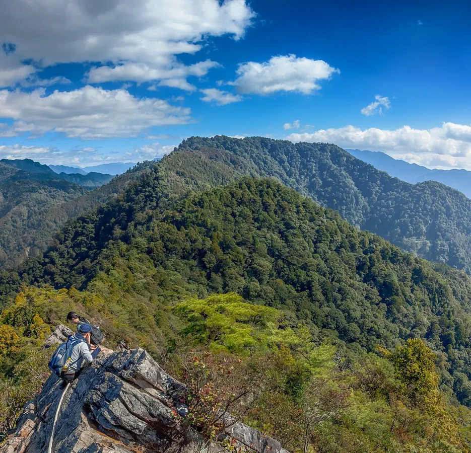
Moderate · 2.5 km
Outdoors
Short loop to a rocky summit with views over Saanich Peninsula, Haro Strait and, on clear days, Mount Baker.
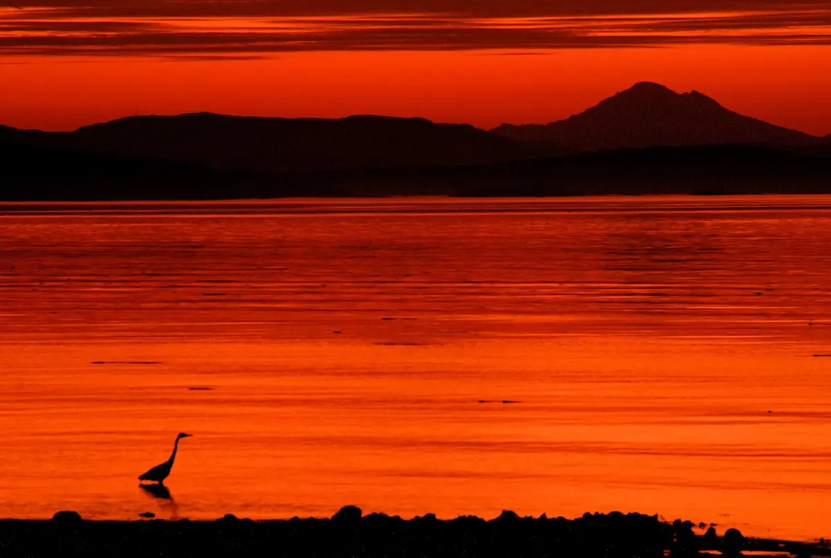
Easy · 3 km
Outdoors
Long sandy beach and dune walk with Mount Baker views and a Gulf Islands backdrop; great for kite flying and birding.
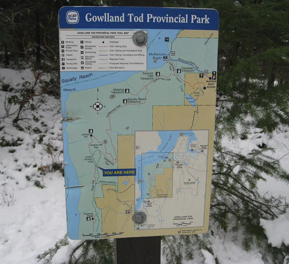
Moderate · 5 km
Outdoors
Steady uphill to a rock lookout over Finlayson Arm; fewer people than the major summits.
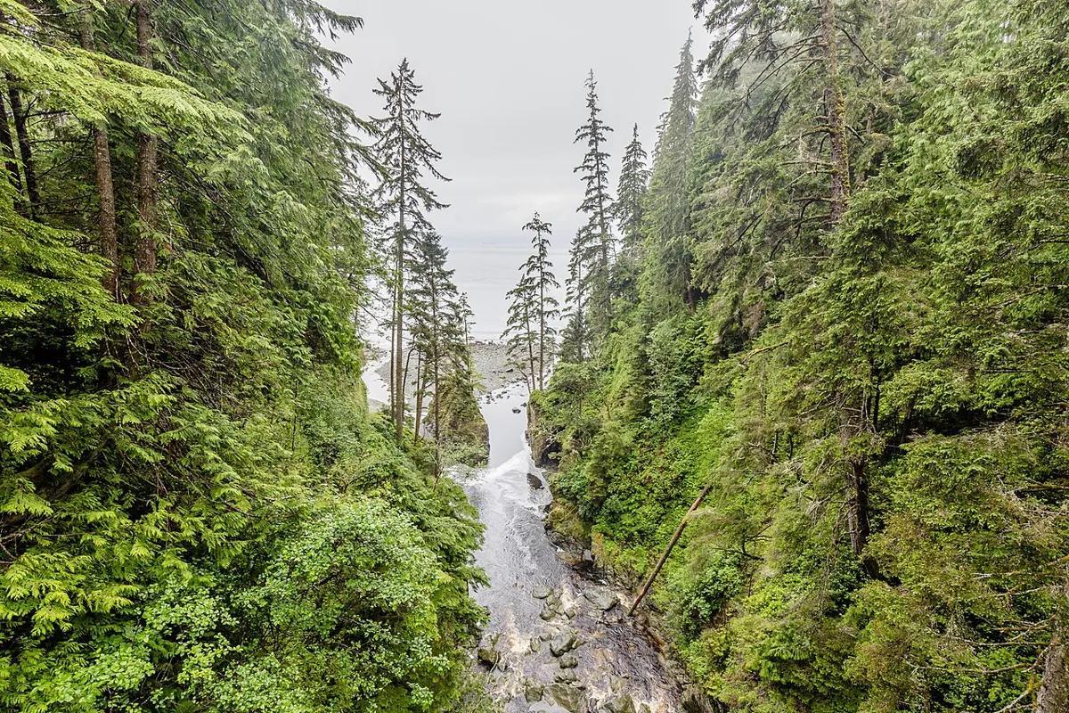
Moderate · 4 km
Outdoors
Old-growth Douglas-fir and a summit with Saanich Peninsula and Haro Strait views; quiet and shaded in summer.
Hard · 47 km
Outdoors
A 47 km wilderness coastal route between China Beach and Botanical Beach. Most people take a day section; experienced hikers string it together over several days.
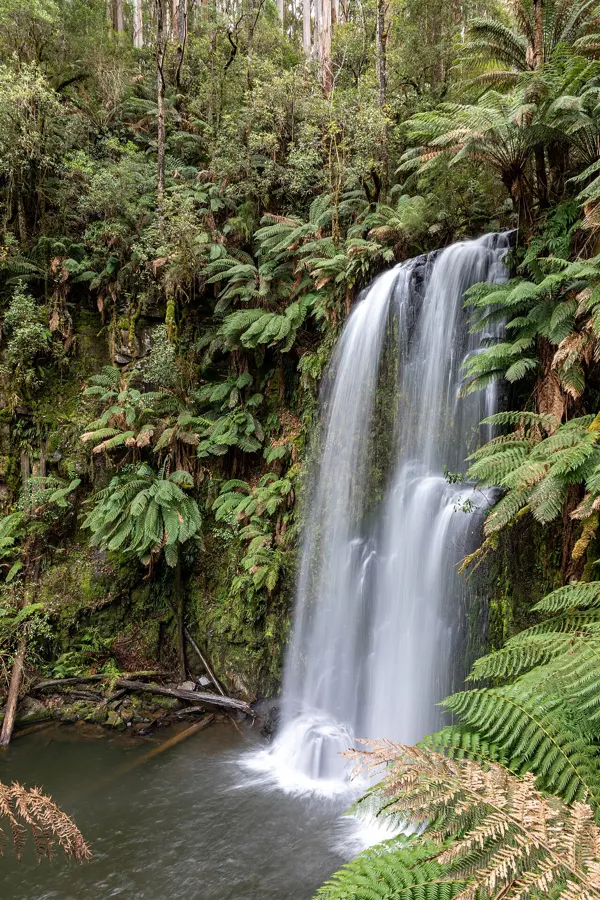
Easy · 2 km
Outdoors
A 2 km loop through karst country with sinkholes, disappearing streams and a waterfall.
Easy
Outdoors
An easy walk along an undeveloped beach with views across Sutil Channel to Cortes Island and the Coast Mountains.
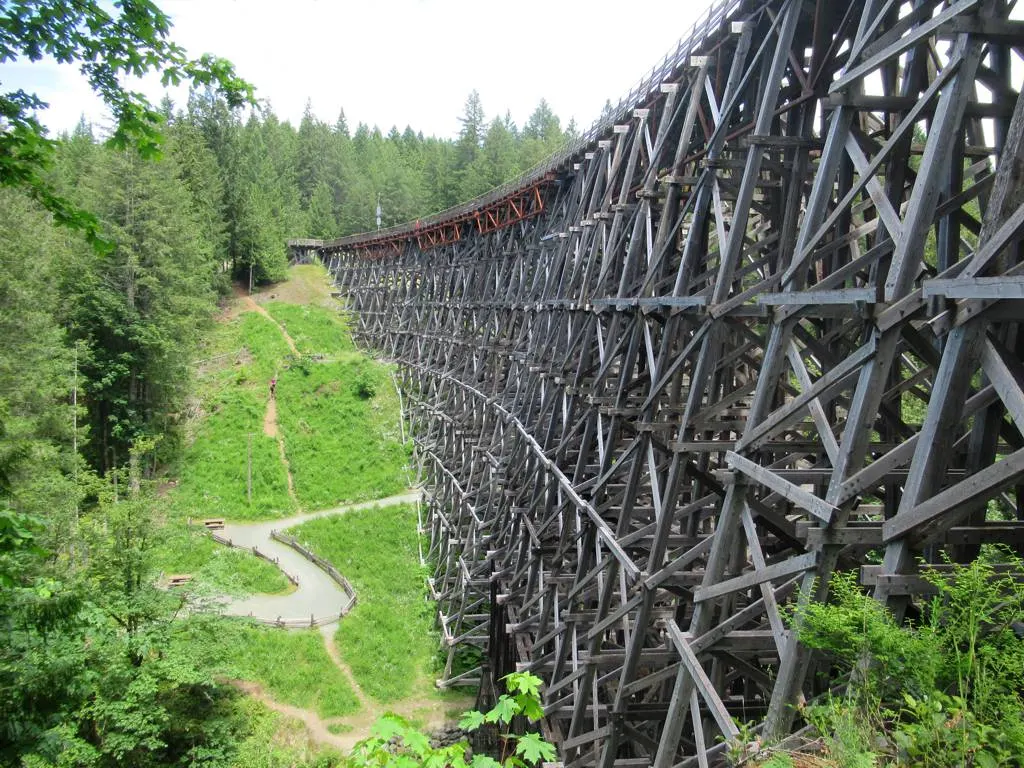
Easy · 2.4 km
Outdoors
A flat, wide gravel walk to one of the tallest timber rail trestles in the world, 44 m above the Koksilah River. Wheelchair accessible, and a great first outing.
Easy
Outdoors
Paved creekside path between two parks with washrooms and playgrounds, and a dirt extension to a small waterfall.
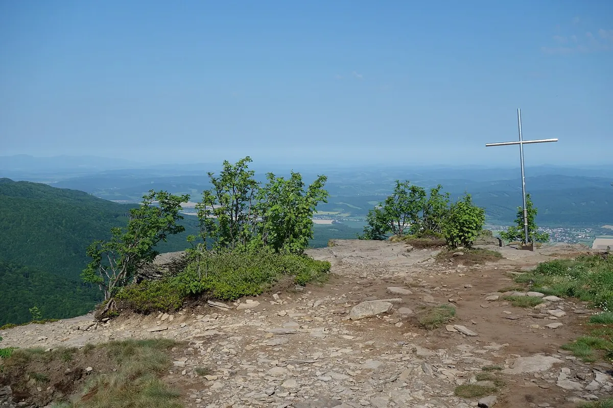
Hard · 23 km
Outdoors
A wild, rugged 23 km loop from sea level over Mount H'Kusam and down the Stowe Creek watershed.
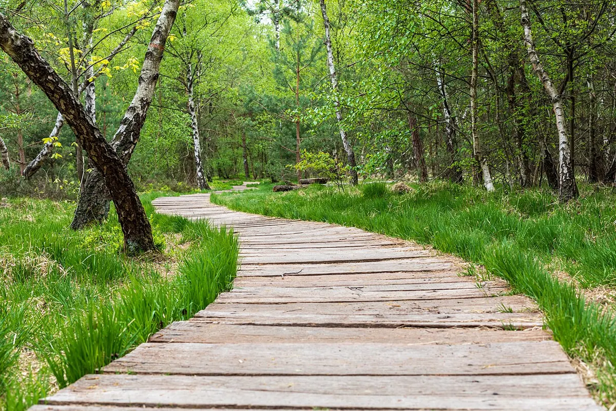
Moderate
Outdoors
Well-signed forest trails between Hague and Gunflint lakes through old growth and manzanita bluffs, with a rusty Steam Donkey as the local favourite stop.
Easy · 2 km
Outdoors
A short shoreline trail on the edge of Port McNeill.
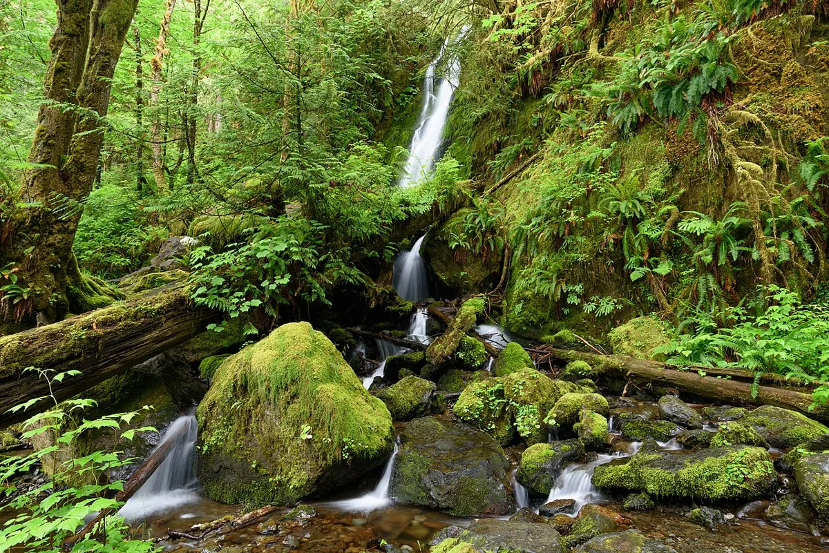
Easy · 0.9 km
Outdoors
A short old-growth walk from the highway to a viewing platform at Lady Falls.
Moderate
Outdoors
A rugged half-hour loop over big boulders and through a short cave passage, with salmon in the pools in fall.
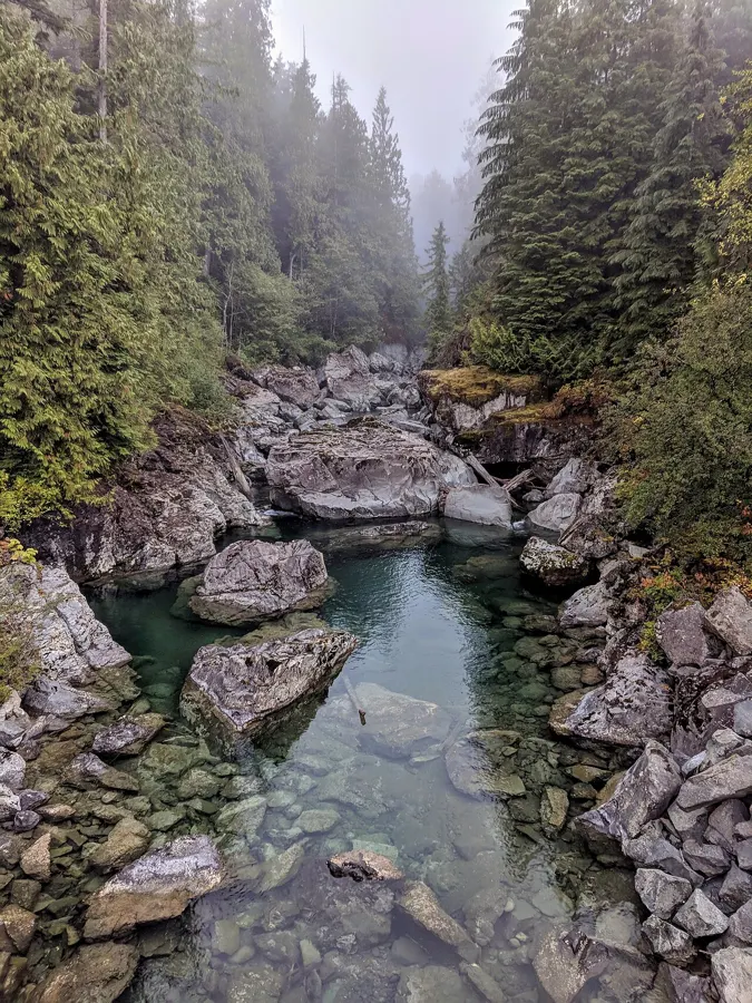
Easy · 2 km
Outdoors
A level 2 km boardwalk route with viewing platforms through an estuary full of swans, eagles and seals.
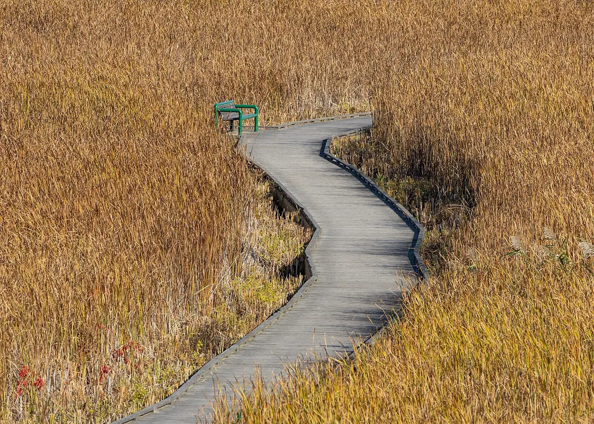
Easy · 4 km
Outdoors
About 4 km on the former E&N rail corridor between Lioness Blvd and McColl Rd through second-growth forest and wetland, with chainsaw-carved benches, toadstools and fairy houses.
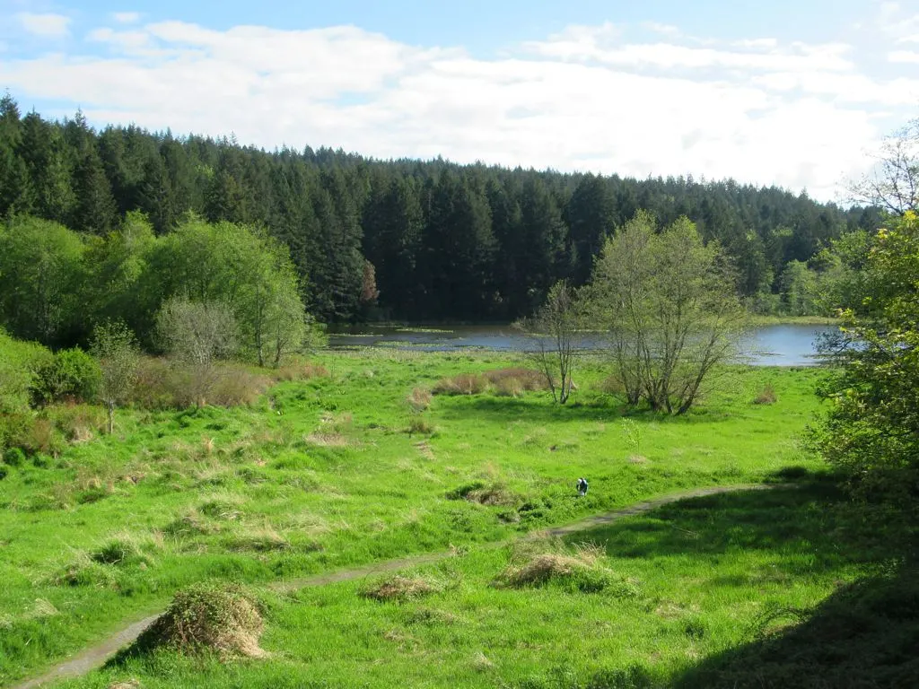
Moderate
Outdoors
Wilderness park with a web of forest trails, small lakes and rocky bluffs sitting between Departure and Hammond Bay.
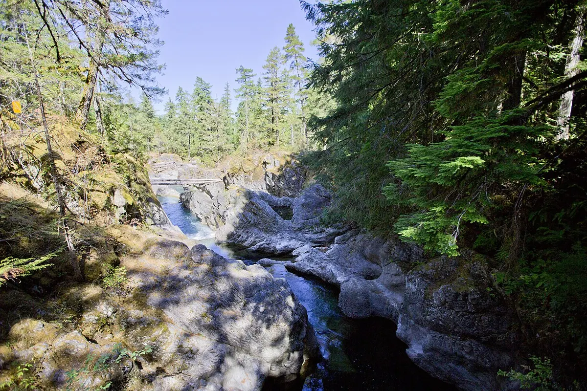
Easy
Outdoors
Shaded riverside paths to the upper and lower falls through a rocky gorge, a favourite family walk.
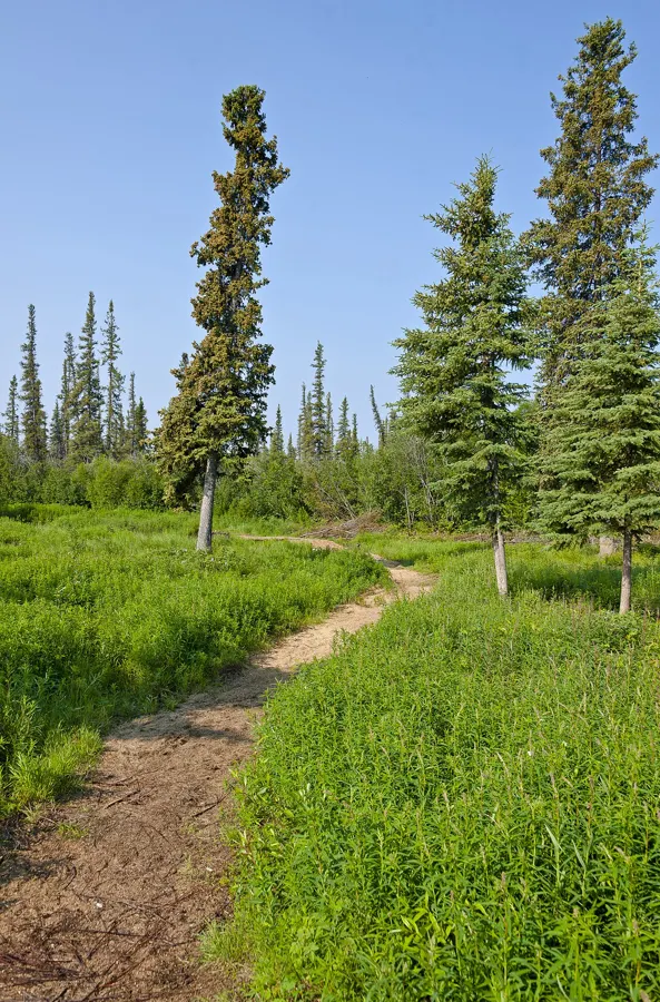
Easy
Outdoors
Natural riverside trails on both banks just downstream of the provincial falls, with a link into Little Qualicum Falls Park.
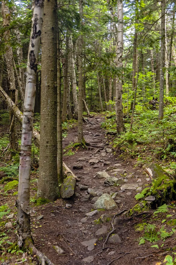
Easy · 0.6 km
Outdoors
A short forest nature trail of boardwalk, gravel and a steel-and-timber bridge that links Sooke's town core to Ravens Ridge Park. Dawn to dusk.
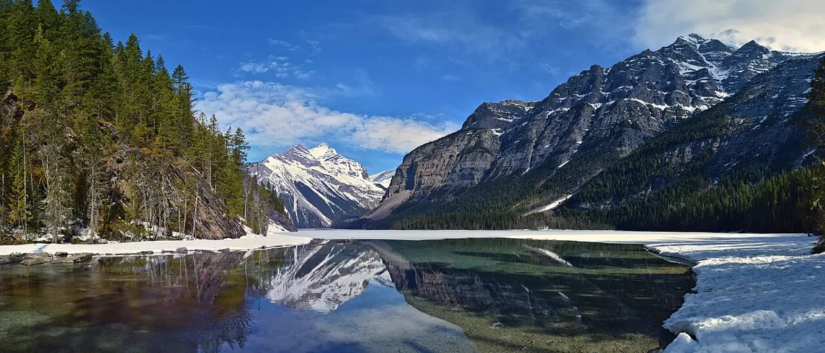
Easy
Outdoors
Mix of gravel path, beach access and Blenkinsop Lake views in the east of Saanich; popular with cyclists and dog walkers.
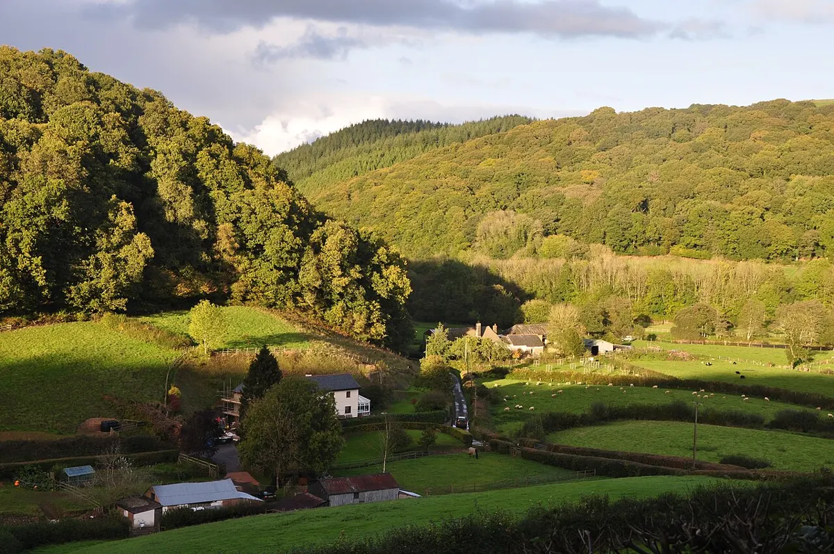
Easy
Outdoors
Quiet trail segment through Central Saanich farmland out toward the long, sandy Island View Beach.
Easy
Outdoors
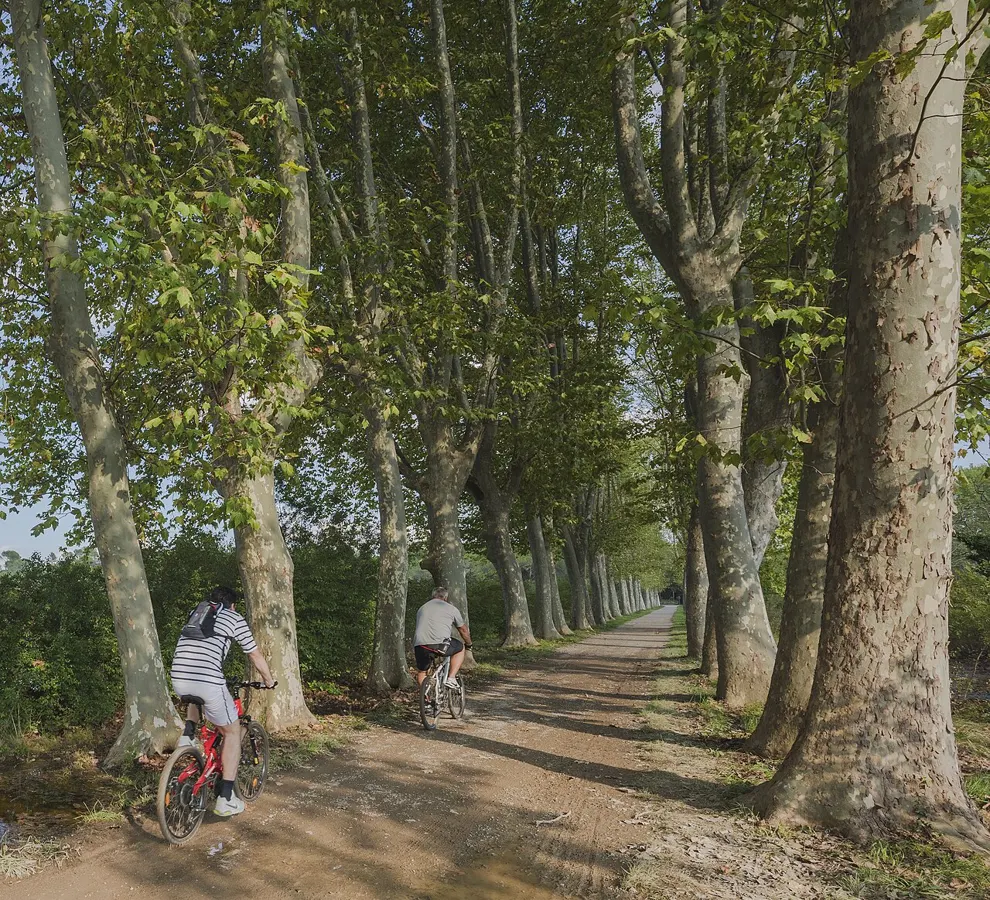
Flat paved and gravel path north from Sidney toward the ferry terminal with water glimpses and farm fields; pairs with bakery stops.
Easy · 25 km
Outdoors
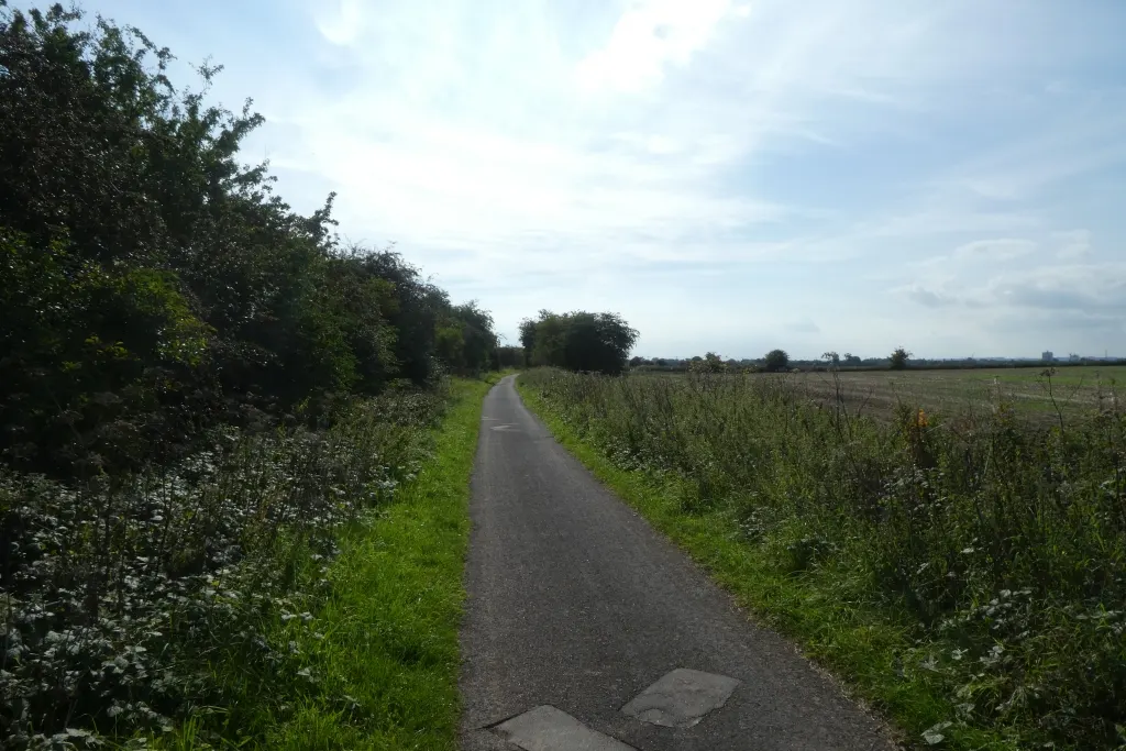
Flat old rail bed running more than 25 km across the valley, great for walking, cycling and dogs year-round.
Moderate · 3 km
Outdoors
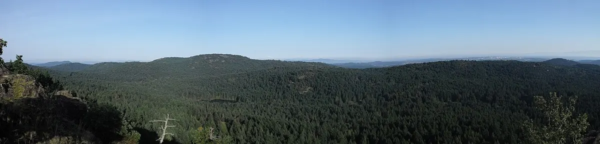
Short but steep route to a rocky summit with views over Saanich Inlet and the Highlands and a great sunset spot.
Easy · 1 km
Outdoors
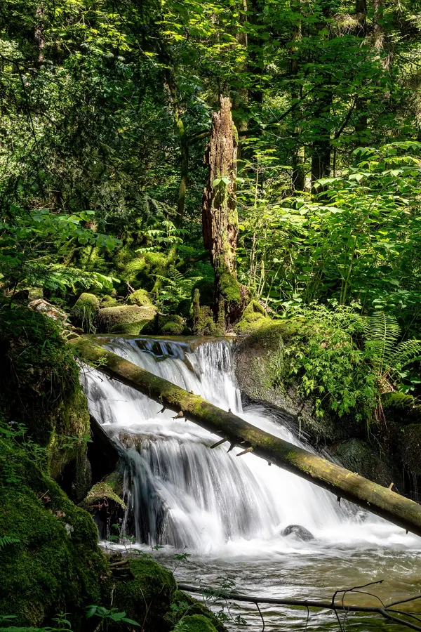
A short walk to the lower falls, with one steep section near the water.
Easy · 4 km
Outdoors
The classic local lake loop with a rocky shoreline, cliff-jump swimming spots in summer and quiet forest the rest of the year.
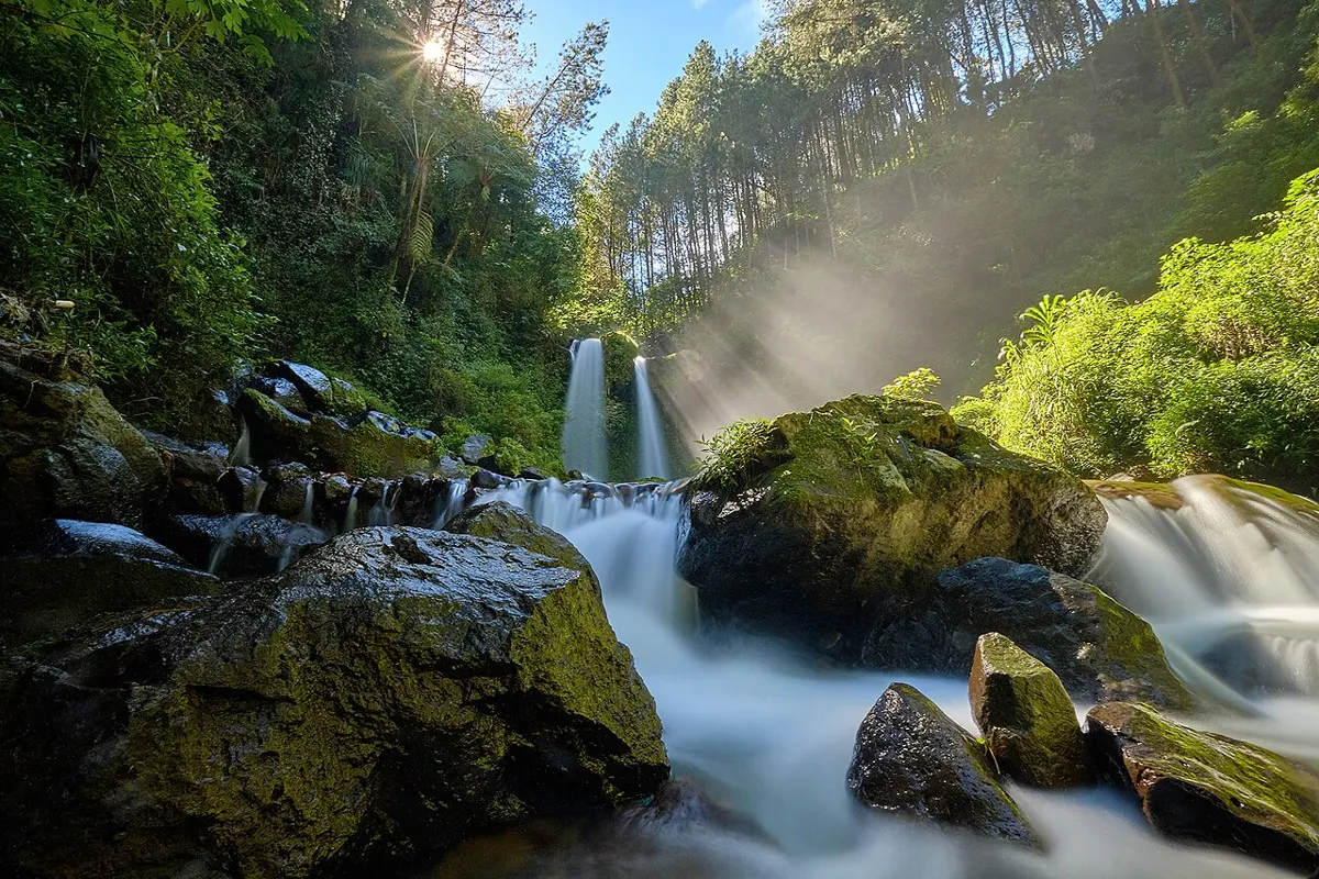
Easy · 0.8 km
Outdoors
A short loop to a falls viewing area with a bench, good for kids and low-effort days.
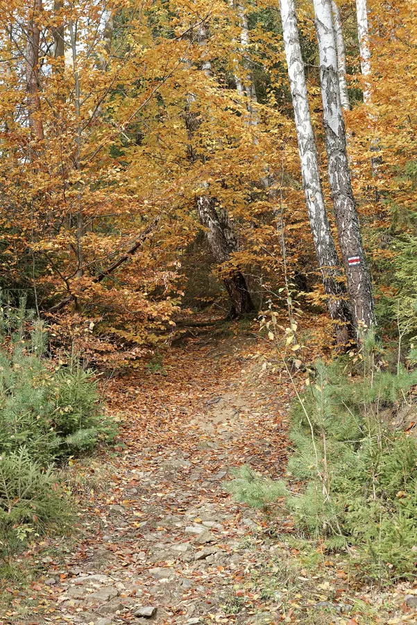
Moderate
Outdoors
Colour-coded hiking, bike and equestrian trails above Maple Bay: easy Blue and Yellow routes with Sansum Narrows views, a tough Pink climb, and the youth-built Story Trail.
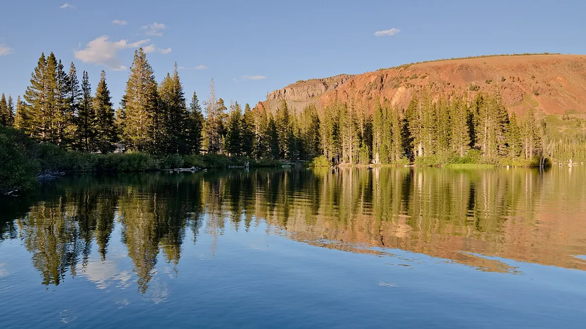
Hard · 8 km
Outdoors
A ridge route to two lakes below Mount Leiner, about 8 km one way with Tahsis Inlet views.
Hard · 6.6 km
Outdoors
A boat-assisted climb to alpine meadows and limestone formations; a serious day for experienced hikers.
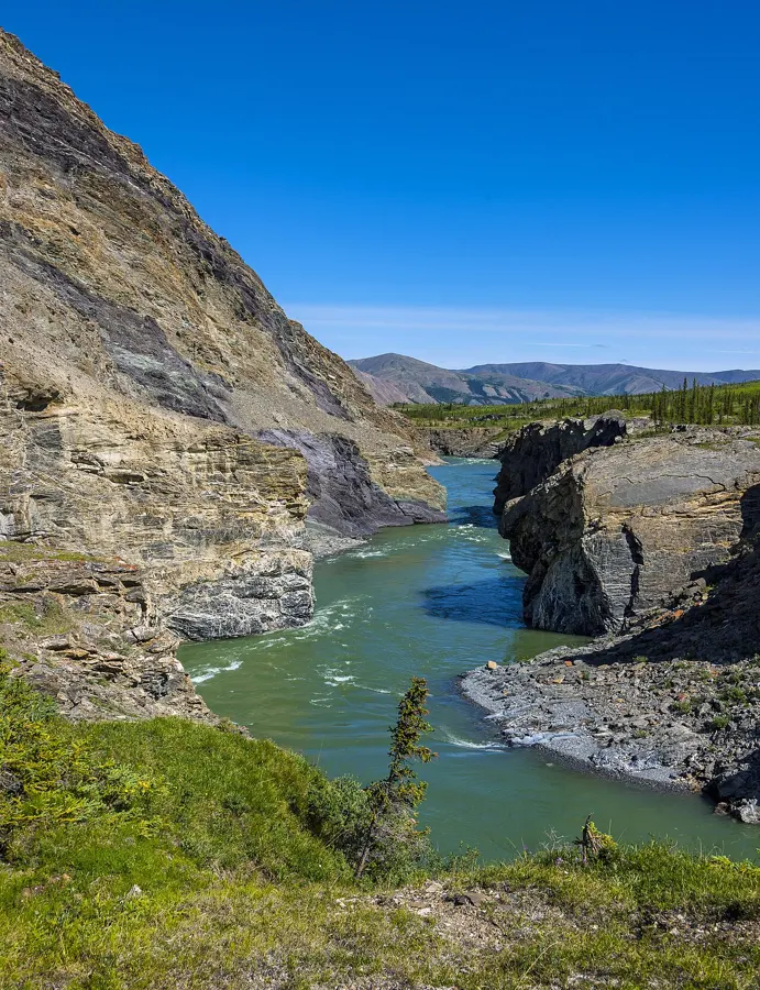
Easy
Outdoors
Short stop at a steep rock canyon where the Cowichan squeezes through, with a heritage railway trestle on the same trail and easy salmon spotting in autumn.
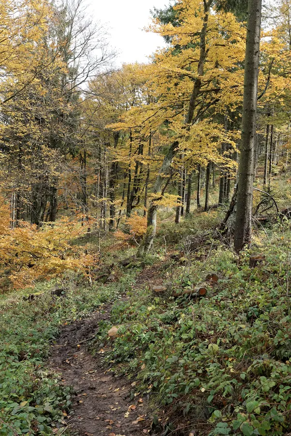
Easy · 3.2 km
Outdoors
A 3.2 km one-way trail on Malcolm Island, about 3 hours return.
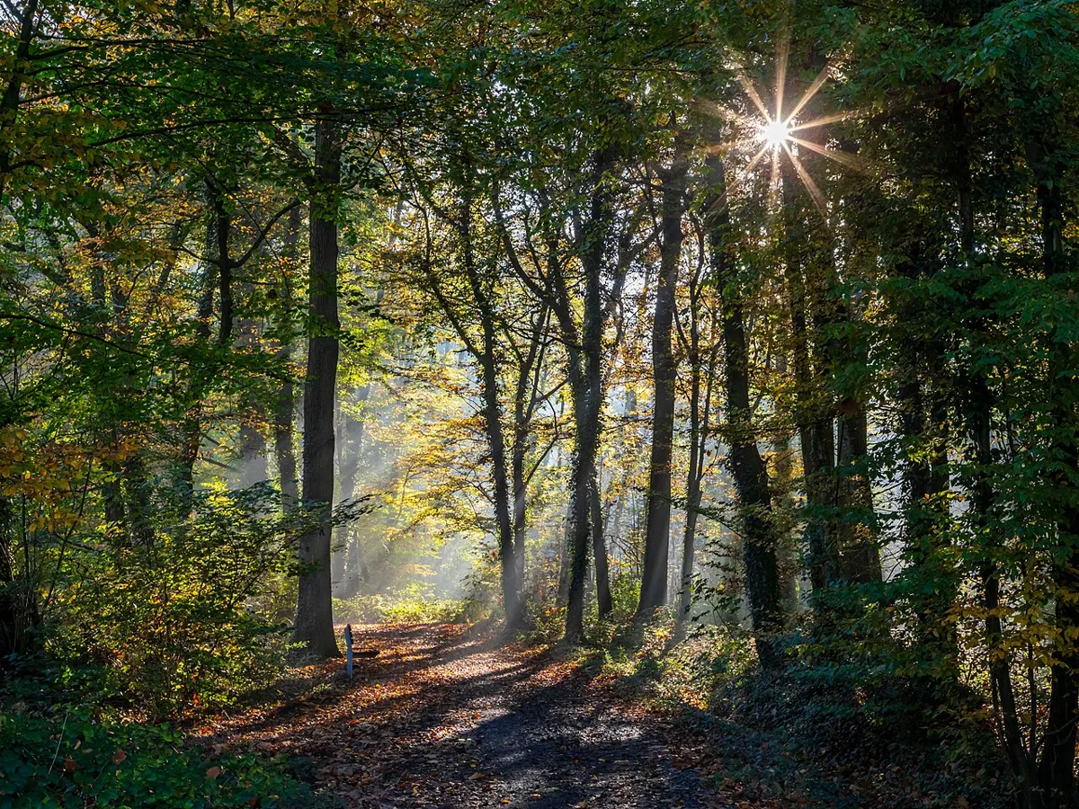
Easy
Outdoors
An easy creekside walk under western red cedars and bracken ferns that links to Matheson Lake, plus a short walk to a sheltered cove.
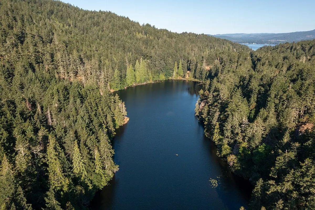
Easy · 3 km
Outdoors
Small lake in Metchosin with a sunny rocky shore, birdlife and a loop through forest; popular summer swimming hole.
Moderate · 5 km
Outdoors
Forest trail dropping to a sheltered inlet with rock slabs perfect for a picnic and a swim; classic quiet-day destination.
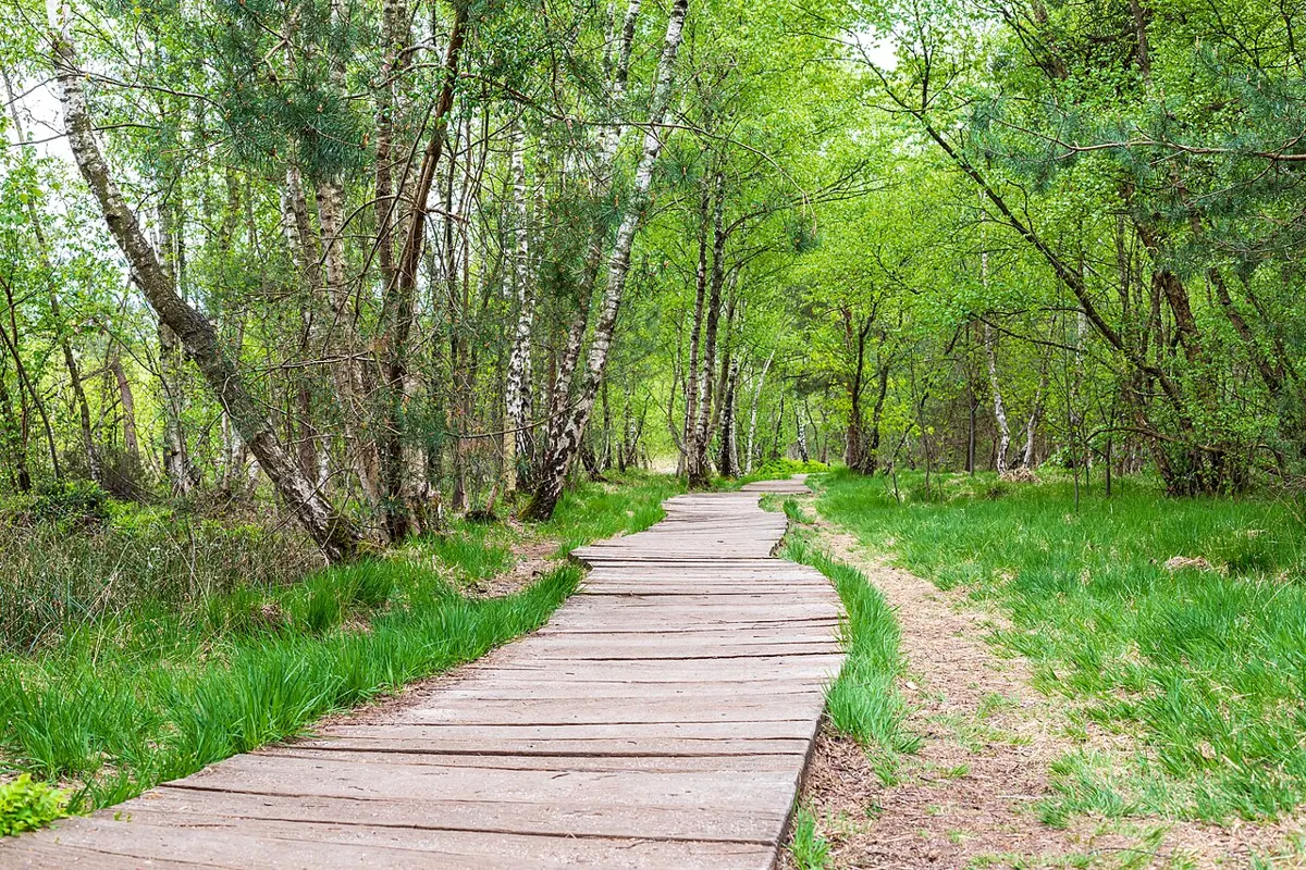
Easy
Outdoors
Small waterfront nature park with forest trails, beach access and a viewing platform over Mill Bay, a quick leg-stretcher near the village.
Moderate
Outdoors
A short, steep and rough path down to a small pebble-and-shell cove, away from the Botanical Beach crowds.
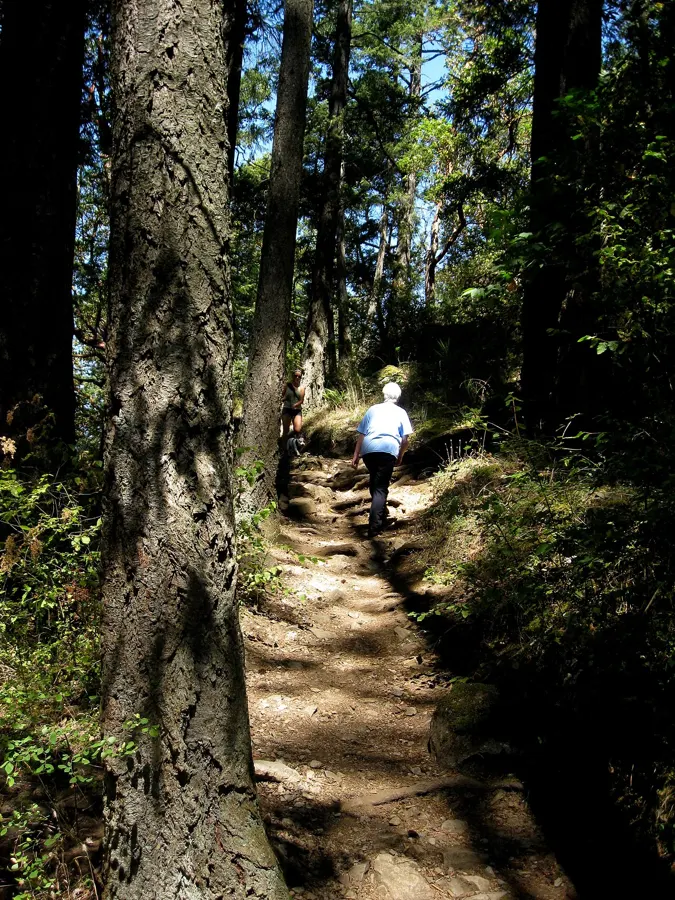
Moderate · 2 km
Outdoors
Short, steep climb to a rocky summit giving views over Langford, Mount Finlayson and the Olympic Mountains.
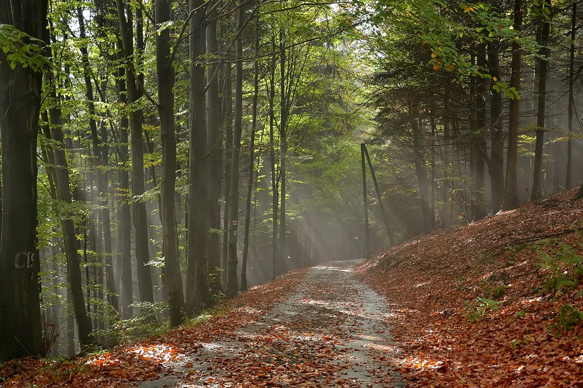
Easy · 2.5 km
Outdoors
A 2.5 km forest trail in Elk Falls Park, an easy add-on to the falls and canyon walks.
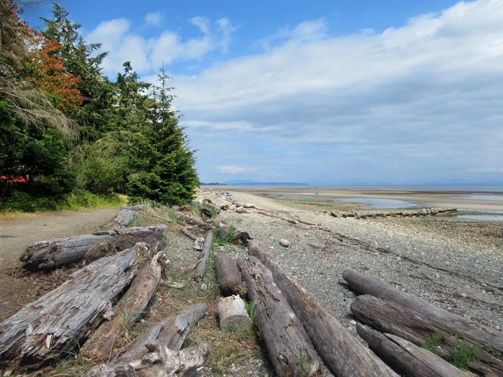
Easy · 2 km
Outdoors
Wide sandy tidal flats, playground and about 2 km of forest paths on the water north of Courtenay: an easy family beach day.
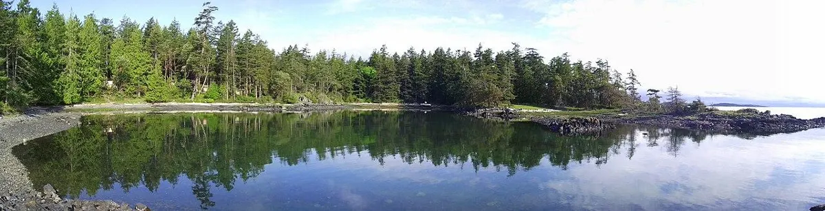
Easy
Outdoors
35-hectare oceanfront conservation park with forested and shore trails, Garry oak meadows and views to the Coast Mountains.
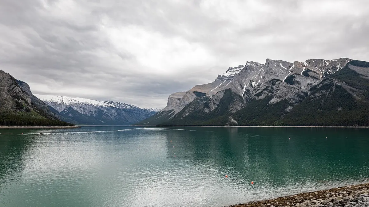
Moderate
Outdoors
A moderate loop around a pretty lake in second-growth forest, with a spur to a lookout toward Maud Island and Ripple Rock.
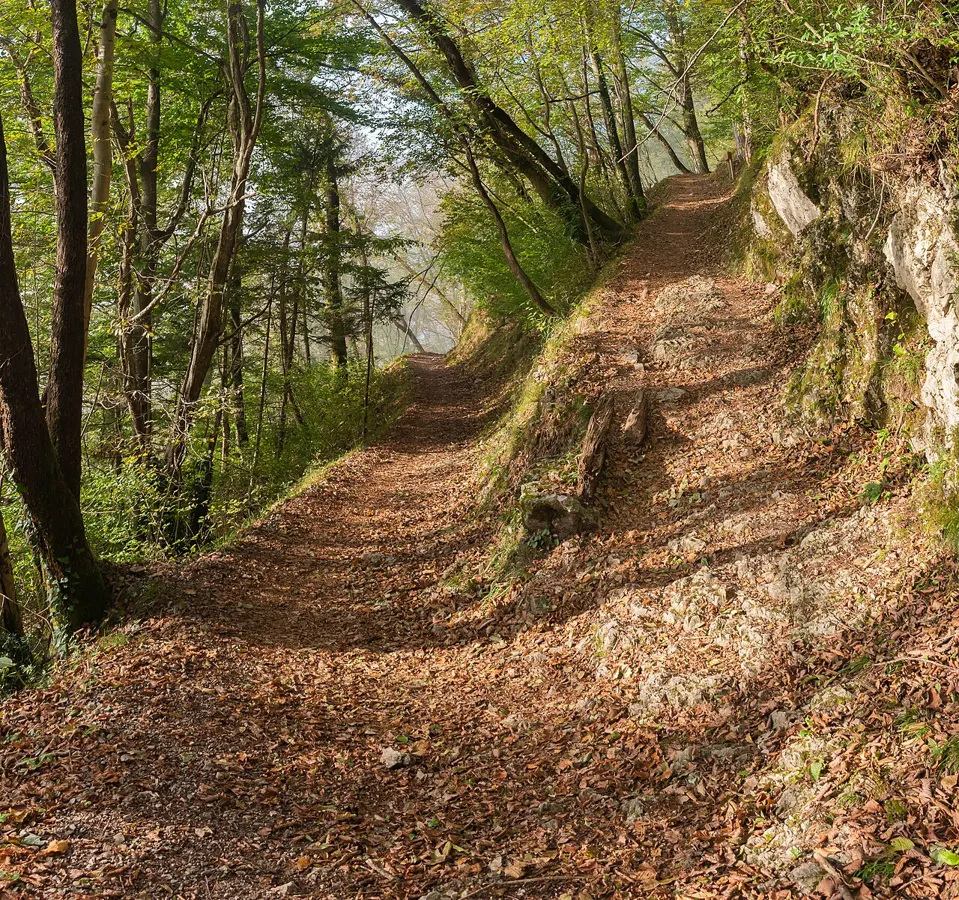
Easy
Outdoors
A short forest hike from the Morton Lake campground to Andrew Lake, about 30 minutes each way, with a sandy lake beach to cool off at.
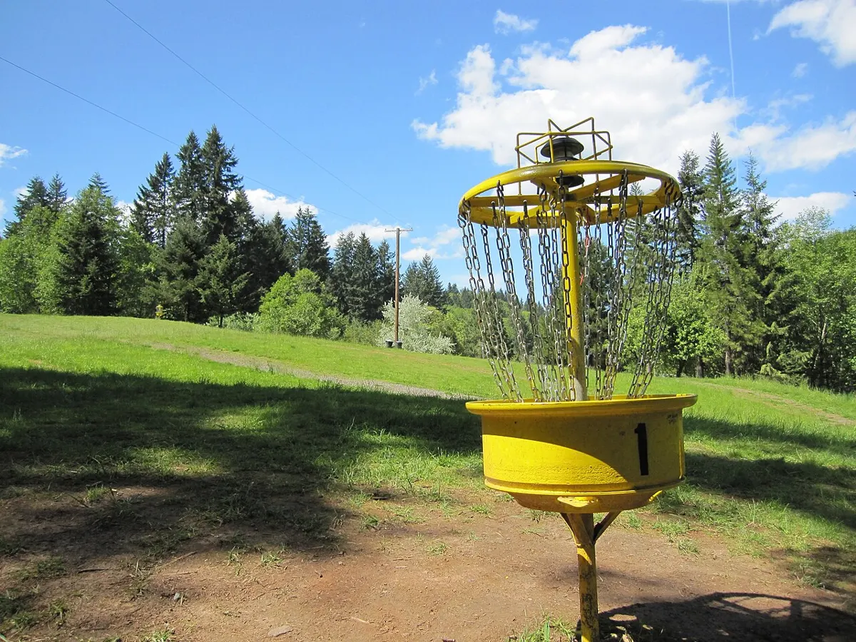
Easy · 8 km
Outdoors
Over 8 km of easy trails beside downtown, plus a free disc golf course.
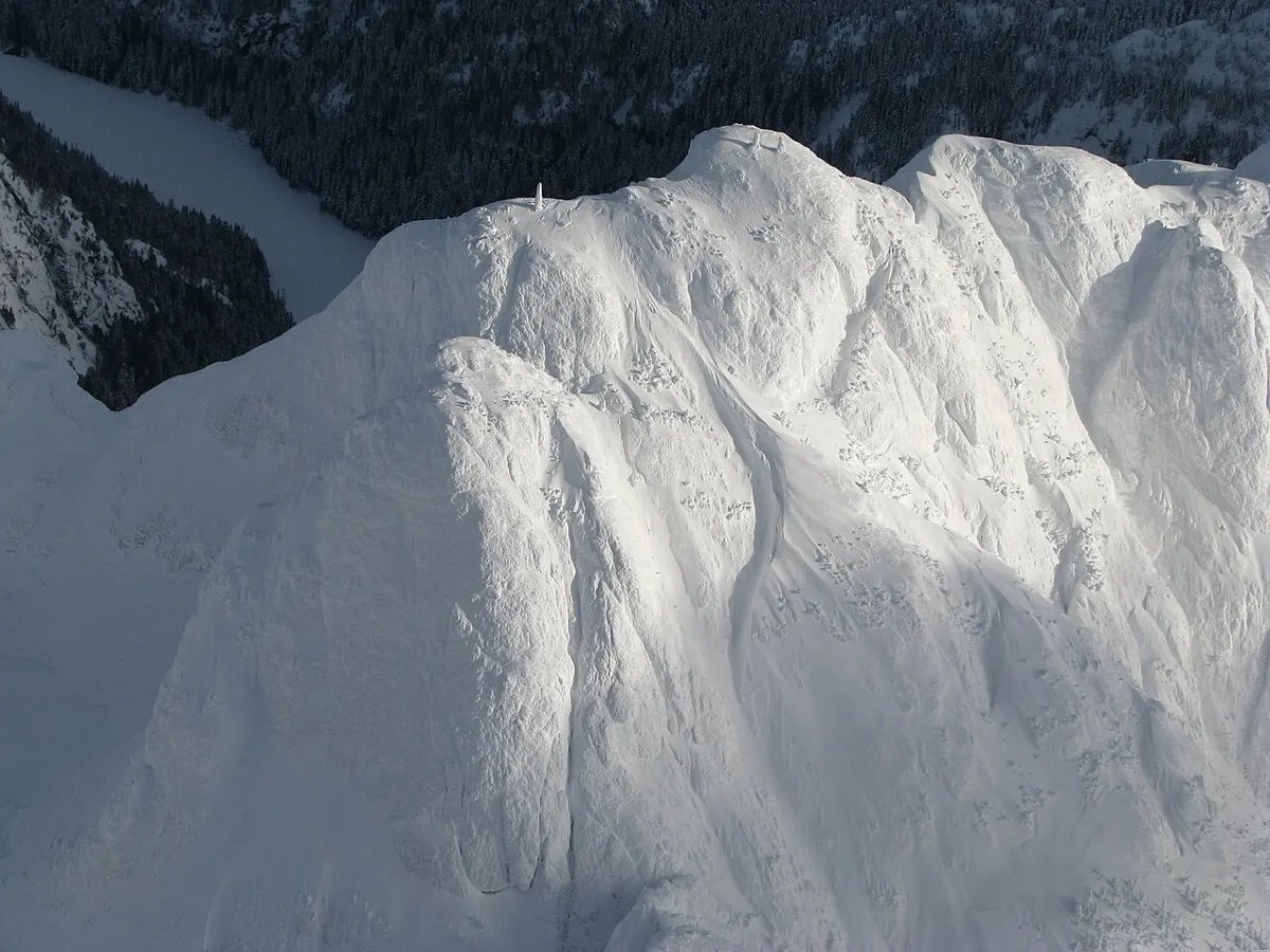
Hard
Outdoors
Backcountry alpine routes across more than 1,300 hectares around Mount Arrowsmith and Mount Cokely, for experienced hikers.
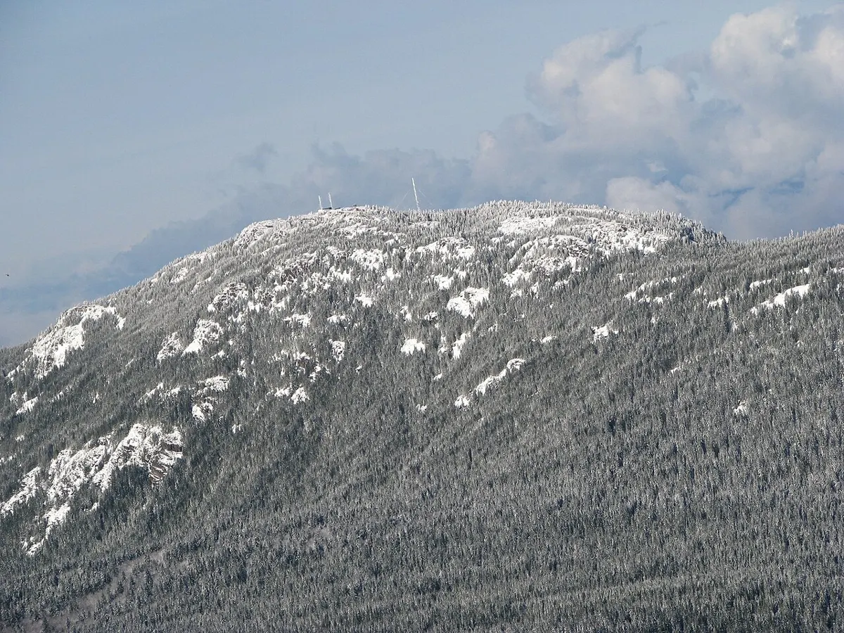
Hard
Outdoors
Rated More Difficult by the RDN: steep pitches and uneven footing lead to big views of Nanaimo and the Salish Sea.
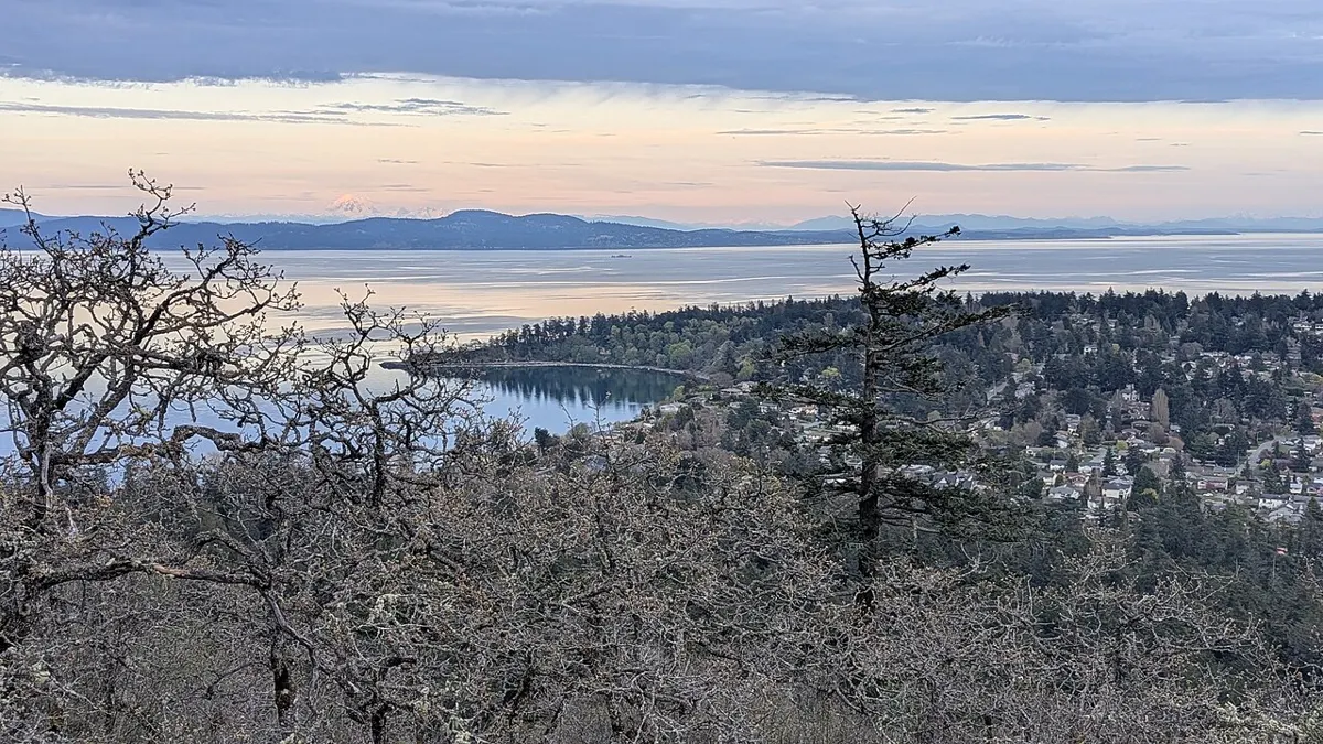
Moderate · 3 km
Outdoors
Garry oak hillside with a 360-degree summit view of the Salish Sea, Olympics and Cascades; several steady routes up.
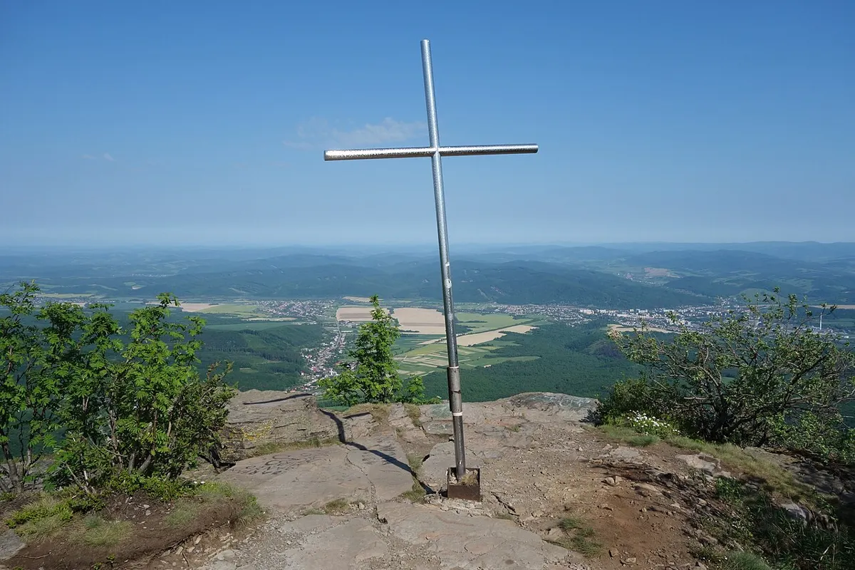
Moderate
Outdoors
Climb through Douglas-fir forest to a rocky summit with views over the island.
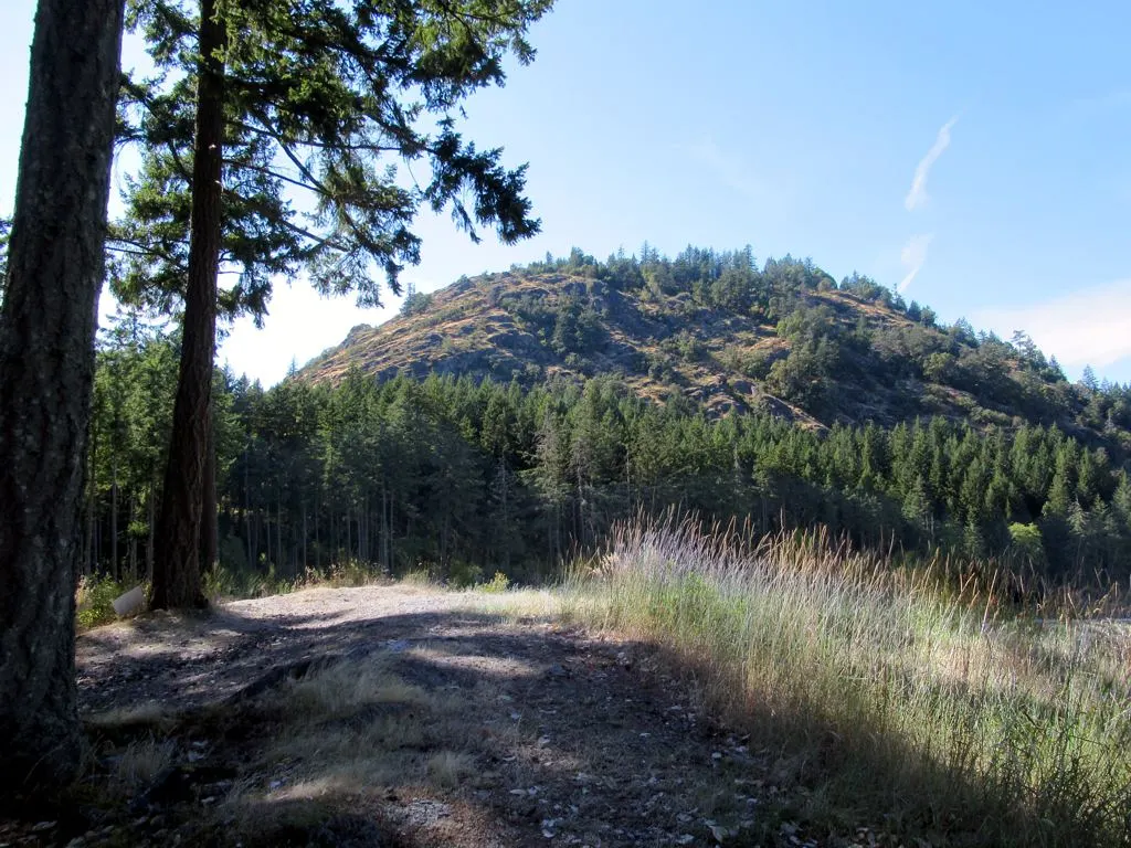
Hard
Outdoors
The steep, rocky Goldstream summit scramble: fixed ropes on the bluffs, then a big view over Finlayson Arm and out to the Gulf Islands.
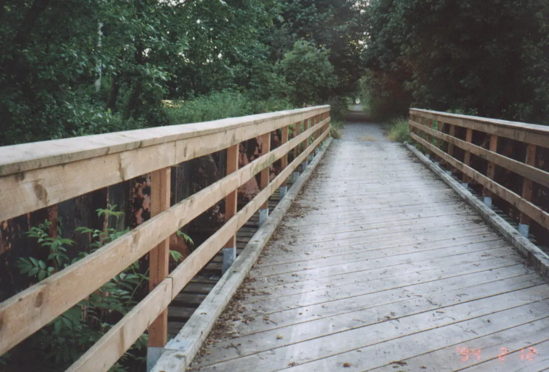
Moderate
Outdoors
Hike or pedal up the escarpment network; most riders reach the top in about 30 minutes, then ride down. Share with bikers.
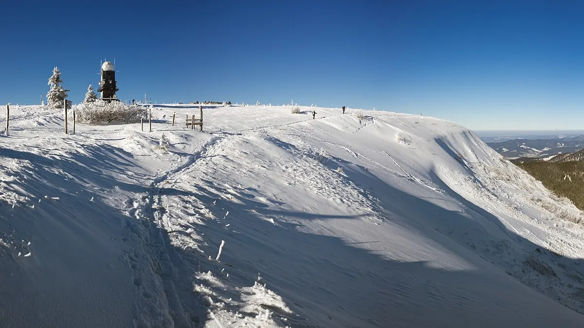
Hard
Outdoors
A full-day climb to the 5,261 ft summit, billed as an 8-hour return.
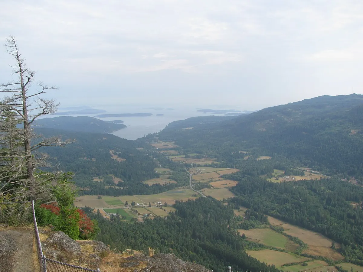
Moderate
Outdoors
About 6 km of maintained trails from the summit lot, with the cliff-edge viewpoint at Baynes Peak over Burgoyne Bay and Sansum Narrows.
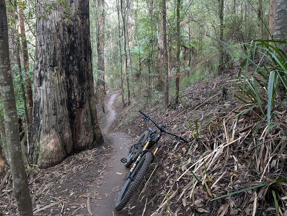
Hard
Outdoors
A summit over 700 m looking out to the Gulf Islands, best known for expert-only downhill mountain bike runs on the North Cowichan forest reserve.
Hard
Outdoors
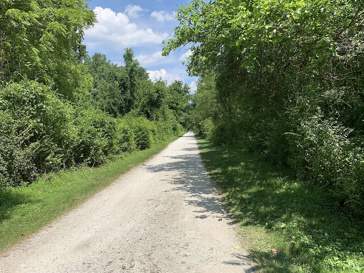
Rugged unmaintained trails for hikers and mountain bikers near Chemainus.
Easy · 2 km
Outdoors
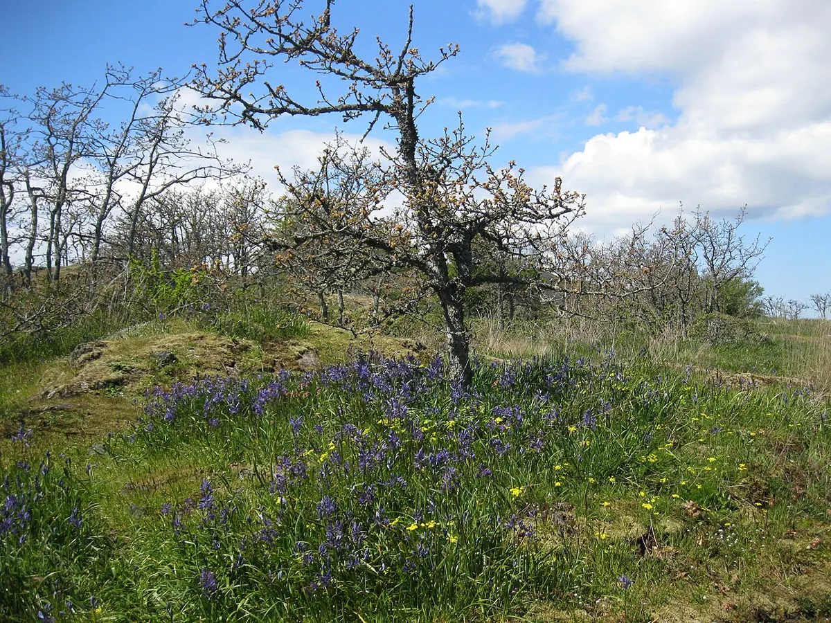
Short climb to a grassy summit with sweeping city, harbour and Mount Baker views; a quick sunset or after-work leg-stretcher.
Moderate
Outdoors
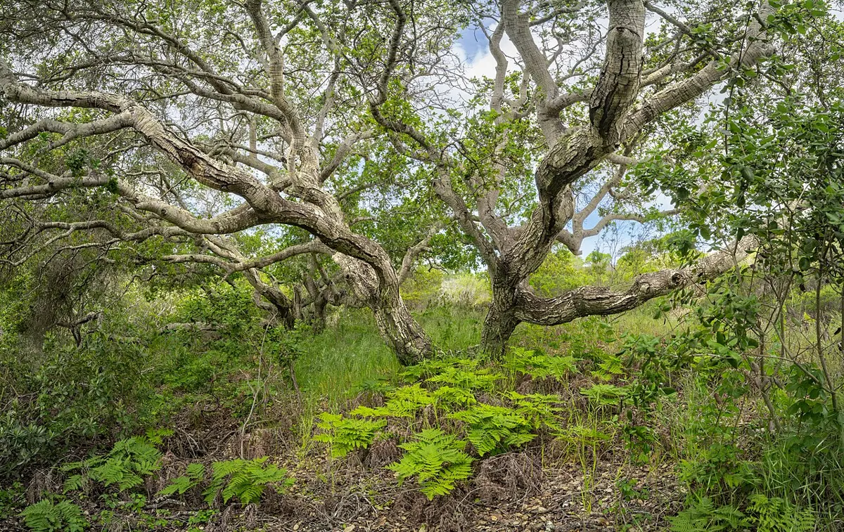
Hiking and bike trails up a Garry oak mountain, ending in wide views over Cowichan Bay and Salt Spring Island, with wildflower meadows in spring.
Easy
Outdoors
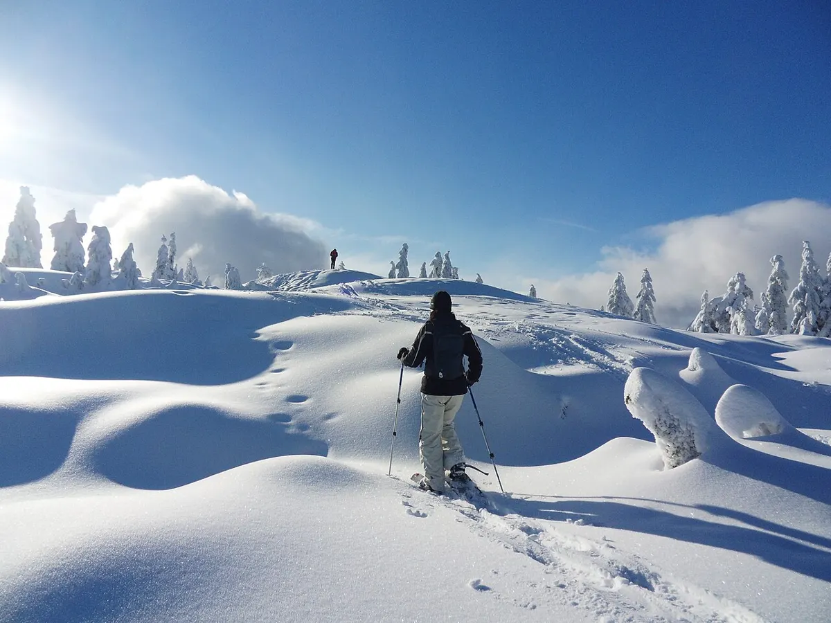
About 22 km of snowshoe routes in Strathcona Park from Raven Lodge, plus guided tours and Saturday fondue snowshoe nights (Dec 19 to Mar 20).
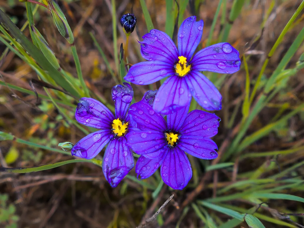
Moderate · 3 km
Outdoors
Compact Garry oak and arbutus park with rocky outcrops and a steep climb to a 352 m summit lookout; quieter than the bigger hills.
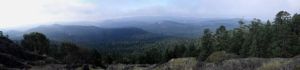
Moderate · 6 km
Outdoors
Rolling forest and rocky bluffs up to a viewpoint over Finlayson Arm and the Saanich Peninsula, with a lily-covered Hamsterly Lake option.
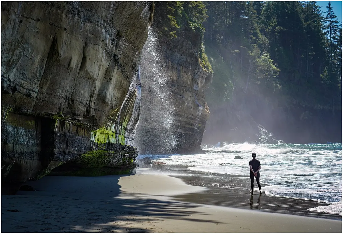
Moderate
Outdoors
A forest trail drops to a cove at the east end of the Marine Trail, a popular short beach hike from China Beach with ladders beyond it toward Bear Beach.
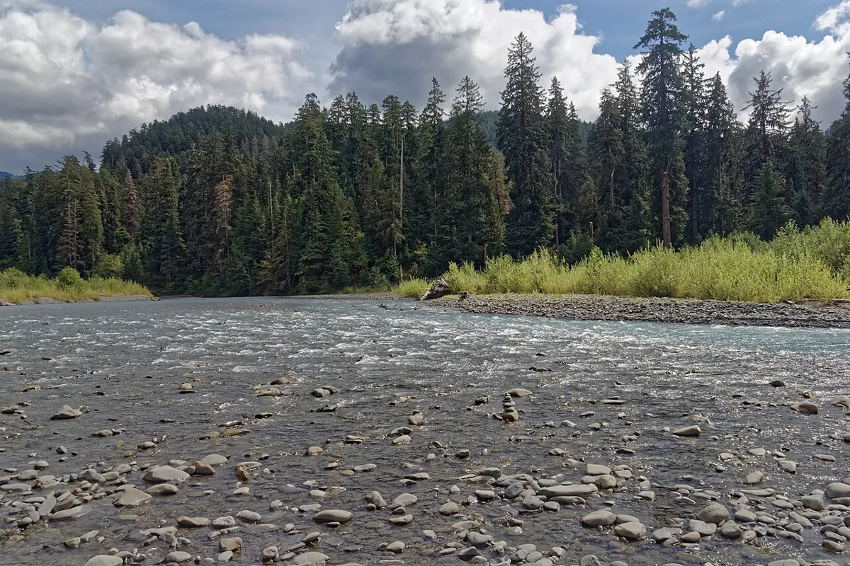
Easy
Outdoors
An easy stroll under big old-growth Sitka spruce to the Nahwitti River and the lake's east end. A quiet short walk if you are already out on the logging roads.
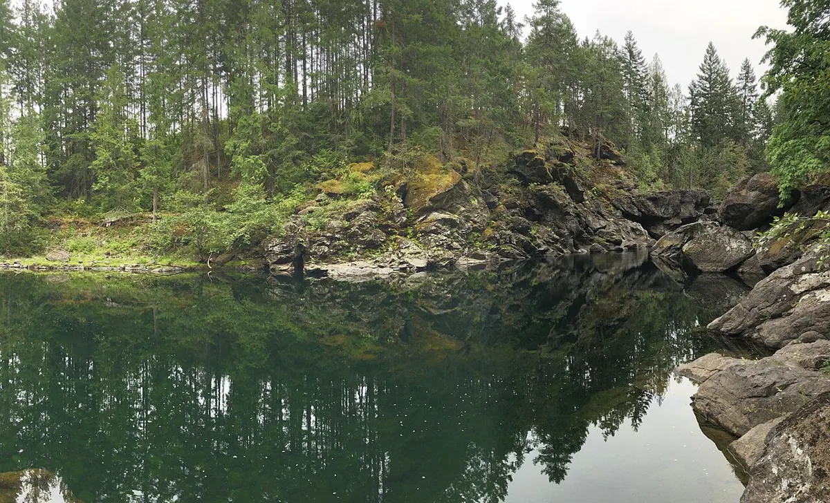
Easy
Outdoors
Quiet trail network through mature Douglas-fir forest down to the river, with a swimming hole in warm weather.
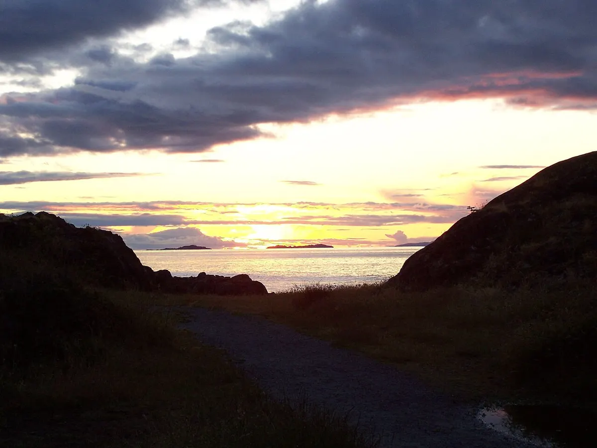
Easy · 3 km
Outdoors
Coastal park trail with rocky headlands and Salish Sea views, plus a chance to spot seals and sea lions.
Moderate · 16.8 km
Outdoors
The classic Cape Scott trip: a long muddy walk to a sweeping beach over 2 km long at low tide, with camping above the sand. Plan an overnight.
Easy · 1 km
Outdoors
Short forested walk to a 47 m waterfall dropping beside the old railway trestle; best after rain.
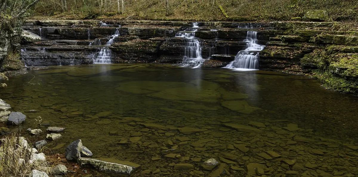
Moderate · 10 km
Outdoors
Out-and-back creekside hike past more than ten waterfalls dropping into blue pools, old growth and mossy glades. A 6 km easy east-side option exists (162 m gain, 1.5 h).
Hard · 30 km
Outdoors
A five-day-plus coastal trek on Nootka Island's wild west shore, from Louie Bay to Yuquot (Friendly Cove).
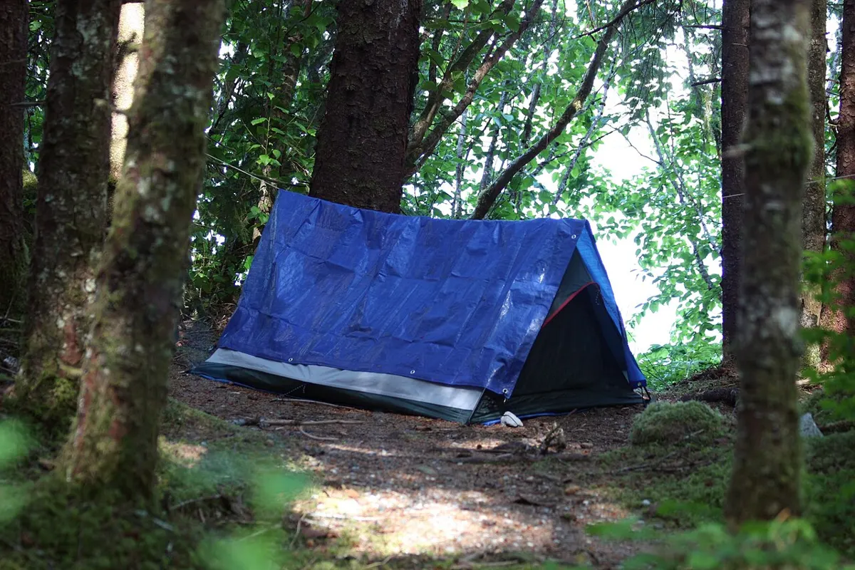
Hard · 43.1 km
Outdoors
A rugged multi-day coastal traverse from Shushartie Bay toward Cape Scott. Beaches, ladders and a Nahwitti River cable car; experienced backpackers only, boat or air shuttle needed.
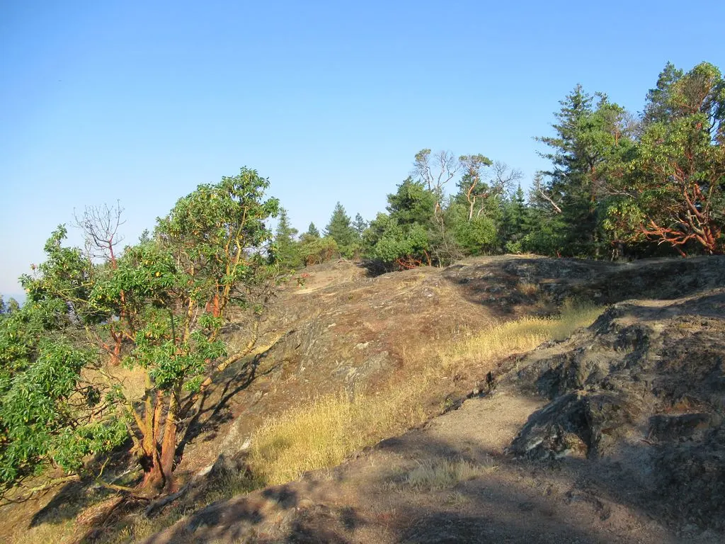
Moderate
Outdoors
Short climb to a rocky viewpoint over Nanoose Bay and the Strait of Georgia.
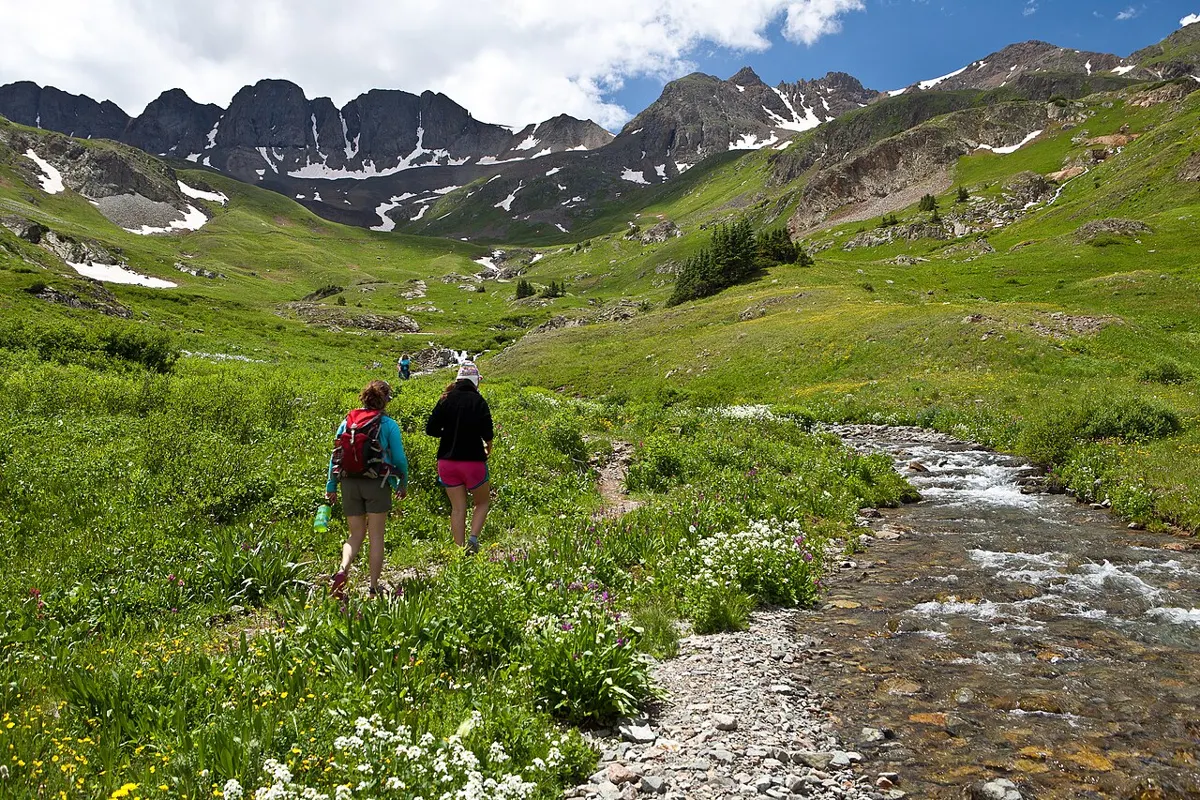
Hard
Outdoors
A strenuous long climb to old-growth plateau and excellent views, with Mount Seymour as the direct route to the island's high point.
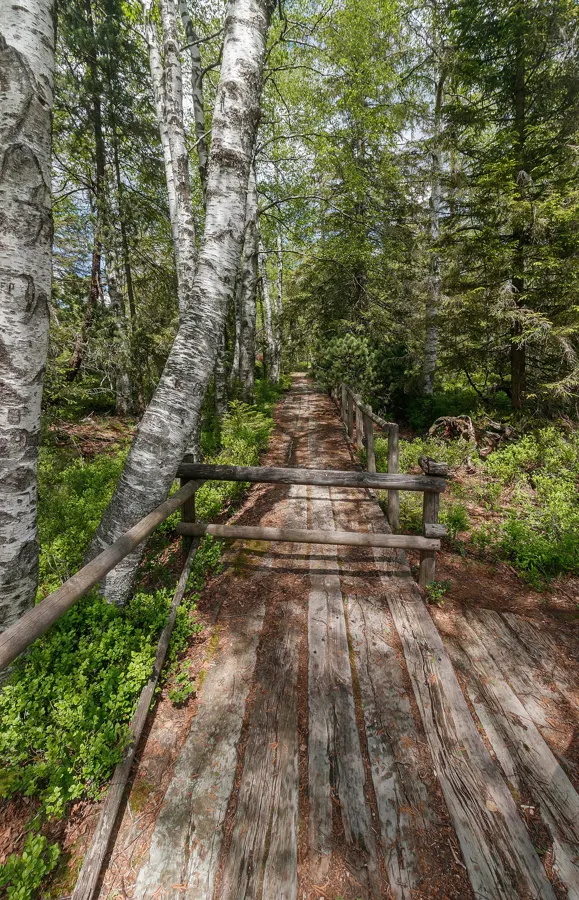
Moderate · 2.5 km
Outdoors
A 2.5 km forest trail from the Wick Road side down to the north end of Florencia Bay, with boardwalk, gravel, mud and one steep ramp.
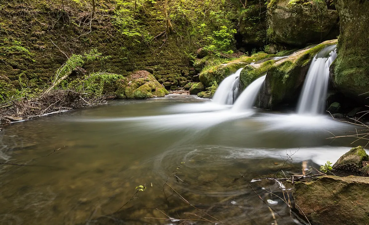
Easy
Outdoors
A short, wide, wheelchair-friendly path leads to a Puntledge River cascade, with off-leash forest trails and a swimming spot for hot days.
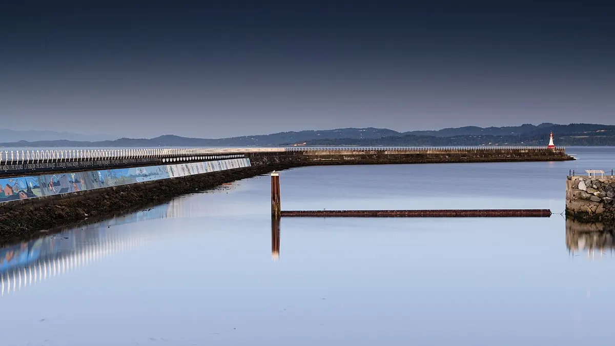
Easy · 1.6 km
Outdoors
Out-and-back walk along the long concrete breakwater to the lighthouse, with harbour traffic, seals and divers at the base.
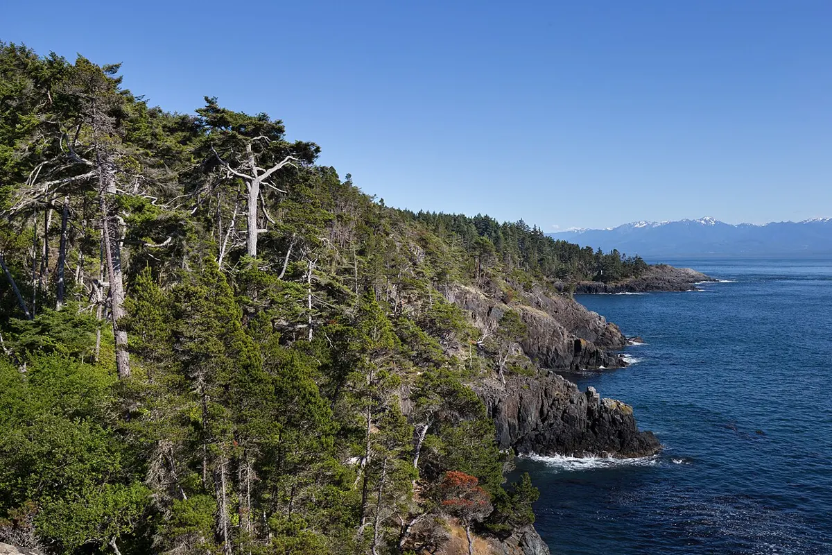
Moderate
Outdoors
A 103-hectare hillside of forest, rock bluffs and ridgelines with lake views and a web of hiking trails above Shawnigan Lake.
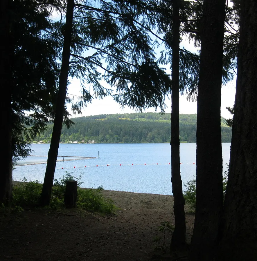
Easy
Outdoors
Lakeside park on the site of an old sawmill with a beach, swim area, viewing platform and short trails. Good with kids on a sunny day.
Easy
Outdoors
A 44-hectare oceanfront park with pebble beaches, calm water and shoreline trails, and off-leash dogs welcome year-round.
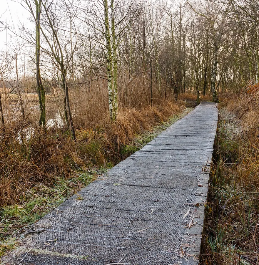
Easy
Outdoors
Forest and river-mouth trails through a nature park near the Oyster River estuary.
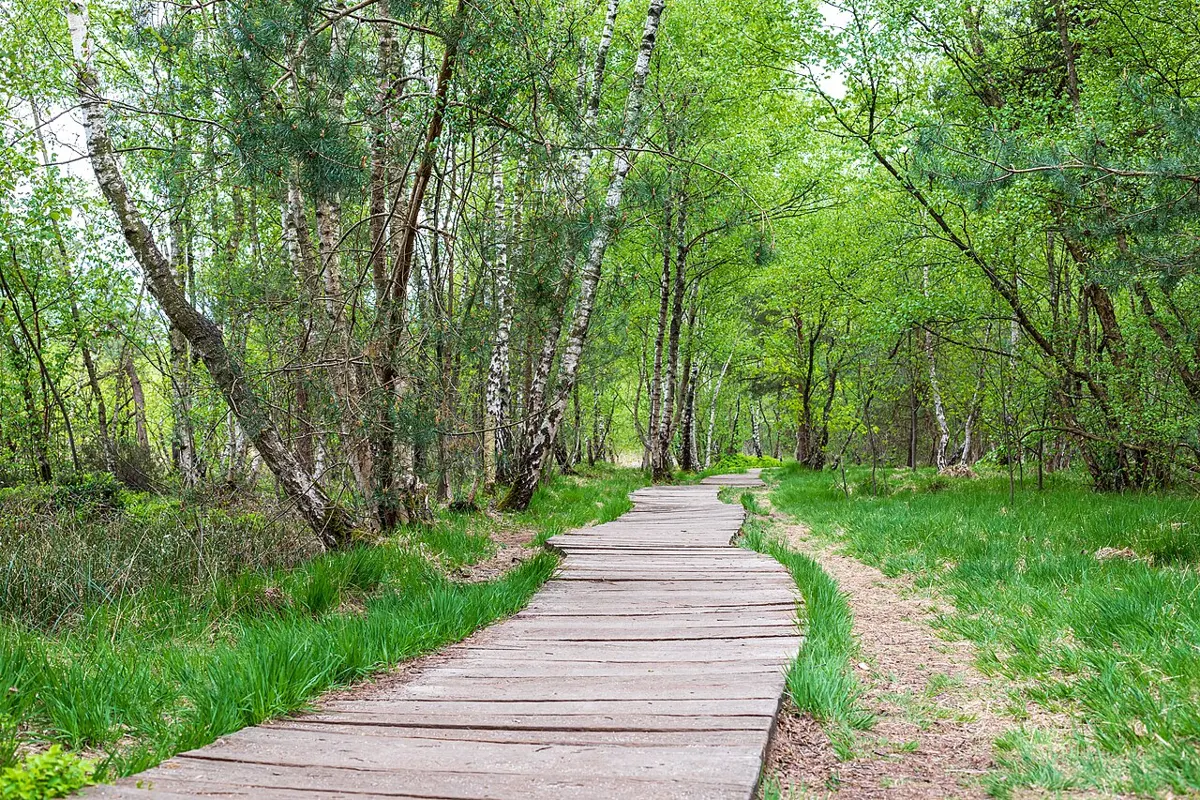
Easy
Outdoors
Sub-alpine boardwalks through wildflower meadows and tarns, including a barrier-free loop and a gateway to Forbidden Plateau.
Moderate · 1.5 km
Outdoors
Roughly 30-minute forest loop with ocean views toward Galiano and Active Pass.
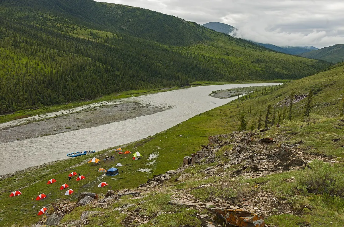
Hard · 6 km
Outdoors
A well-graded climb up Phillips Ridge to Arnica Lake, with camping at the lake's north end.
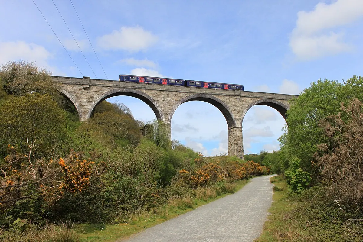
Moderate
Outdoors
Stroll an old gravel logging road with a gentle grade through forest to a meadow, then drop down a short steep trail to Iron Mine Bay beach.
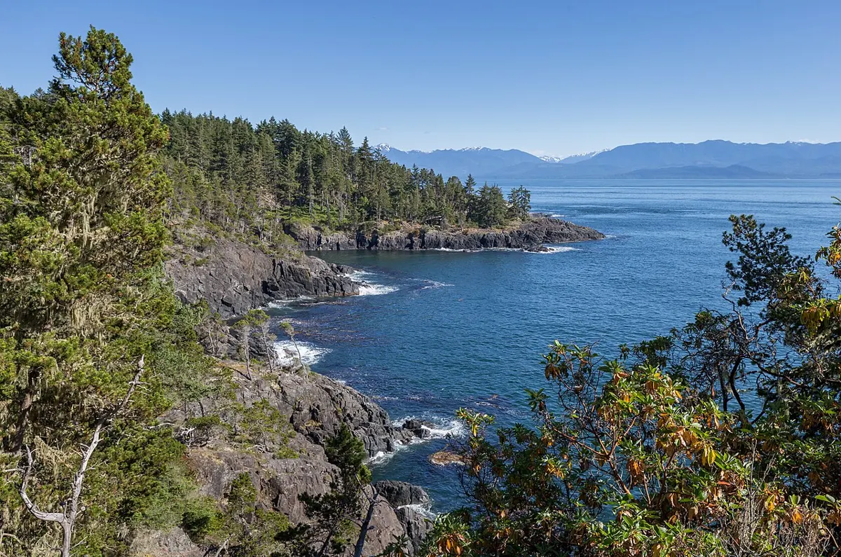
Easy
Outdoors
Short waterfront trails and ocean viewpoints on a spit and bluff beside a sheltered lagoon.
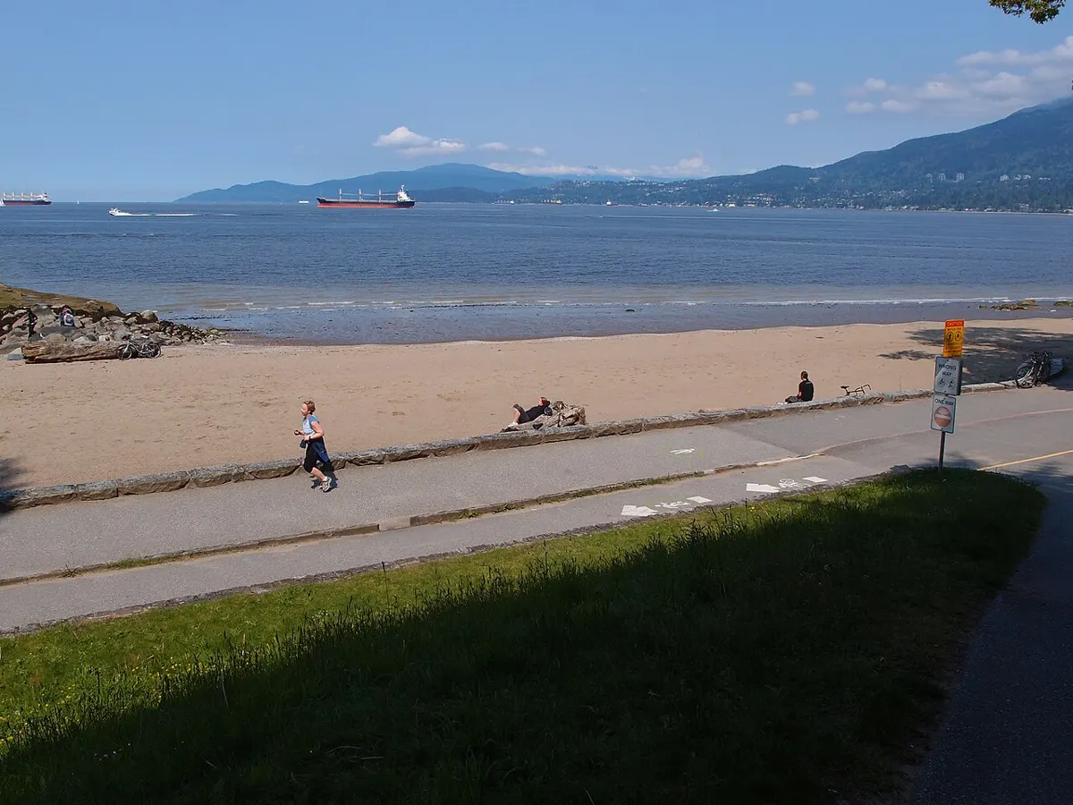
Easy
Outdoors
A paved waterfront path with views over Hardy Bay, flat and good for strollers and wheelchairs.
Easy
Outdoors
An easy oceanfront walkway along the marina with views across Broughton Strait toward Malcolm and Cormorant islands.
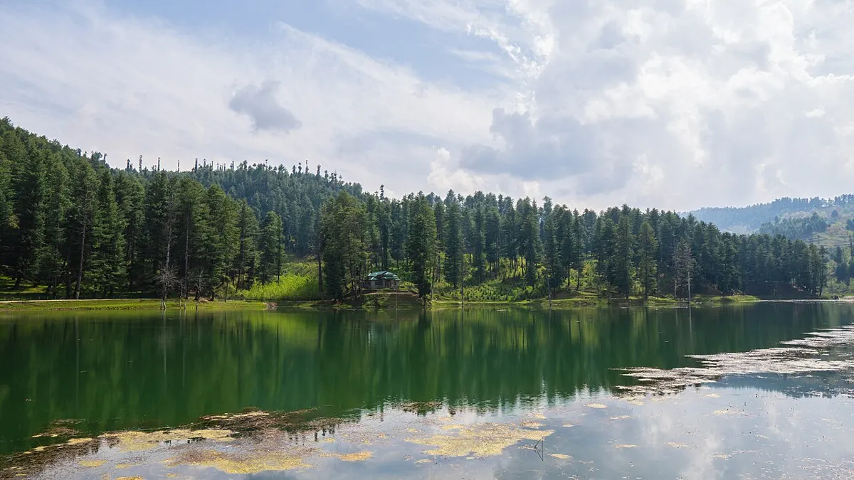
Moderate
Outdoors
Forested nature park on Cowichan Lake with moderate trails down to a swim beach and picnic areas.
Easy · 2.5 km
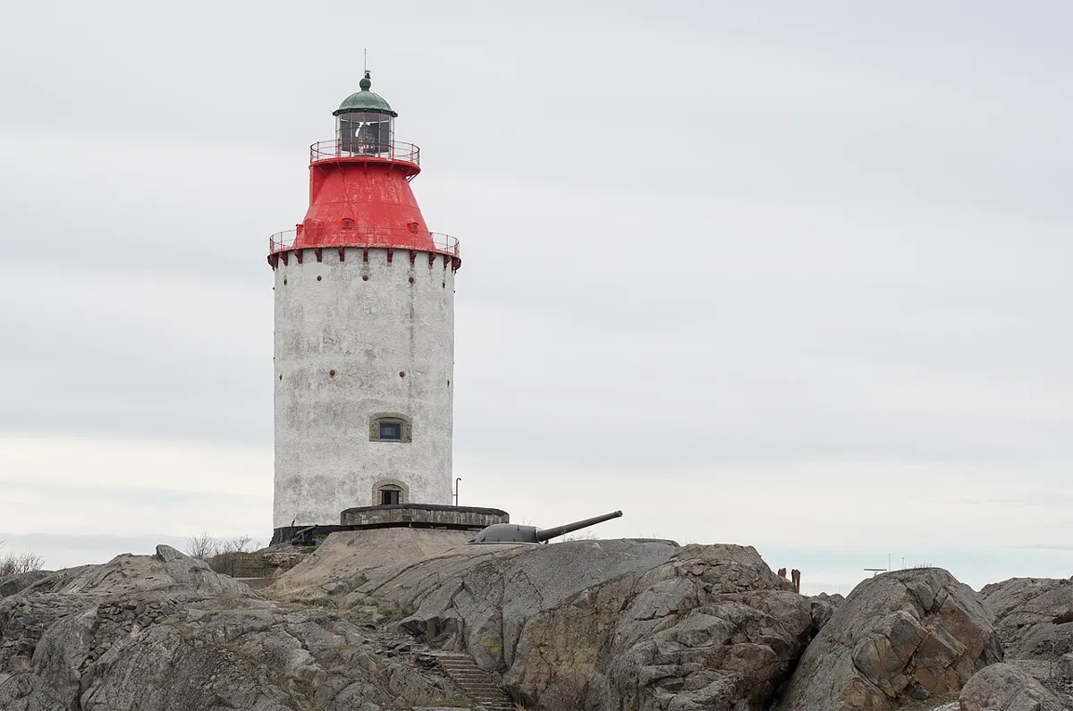
Outdoors
A short return walk to the Pulteney Point lighthouse at the west end of Malcolm Island.
Easy · 2.5 km
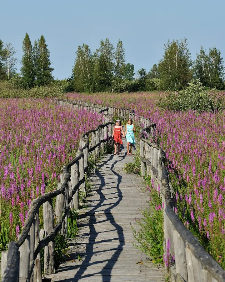
Outdoors
A gentle 2.5 km loop through the Quatse River estuary near Port Hardy, easy for families and good for birds and salmon runs.
Easy · 2 km
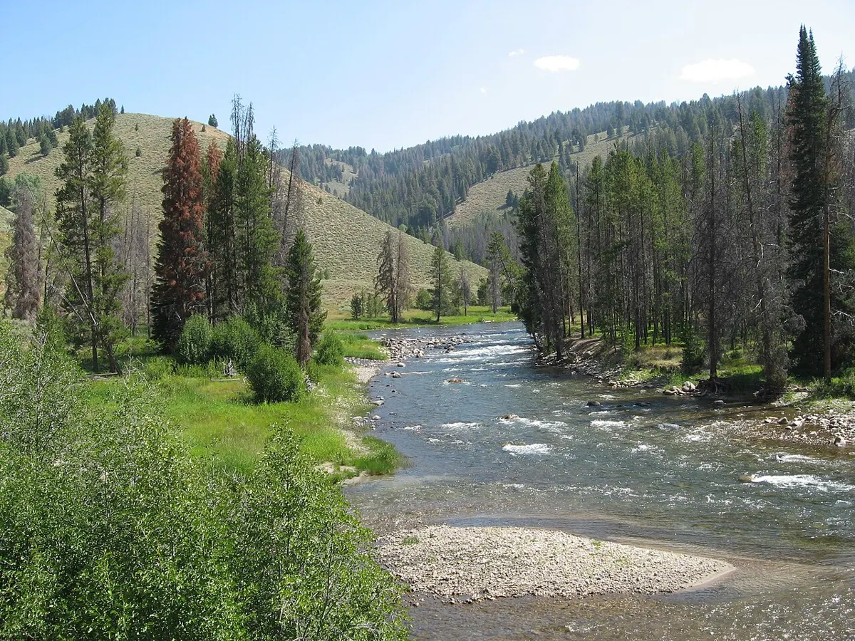
Outdoors
Rustic riverside paths along the Quinsam, best in fall when spawning salmon fill the pools.
Moderate · 0.5 km
Outdoors
A very steep but tiny paved trail to observation decks with sweeping views over Long Beach and the surf. Short and worth it at sunset.
Moderate · 2 km
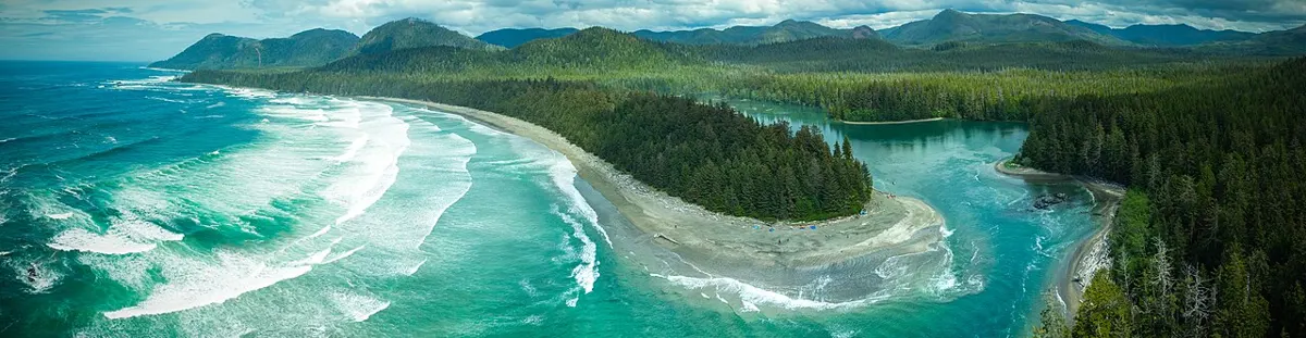
Outdoors
A rough, very muddy walk through old growth to a crescent of sand at the mouth of the Macjack River. Surf, solitude and beach camping for those who are self-sufficient.
Moderate · 1 km
Outdoors
A one-kilometre boardwalk loop through towering old-growth red cedar and hemlock. Lots of stairs, no beach, perfect in drizzle.
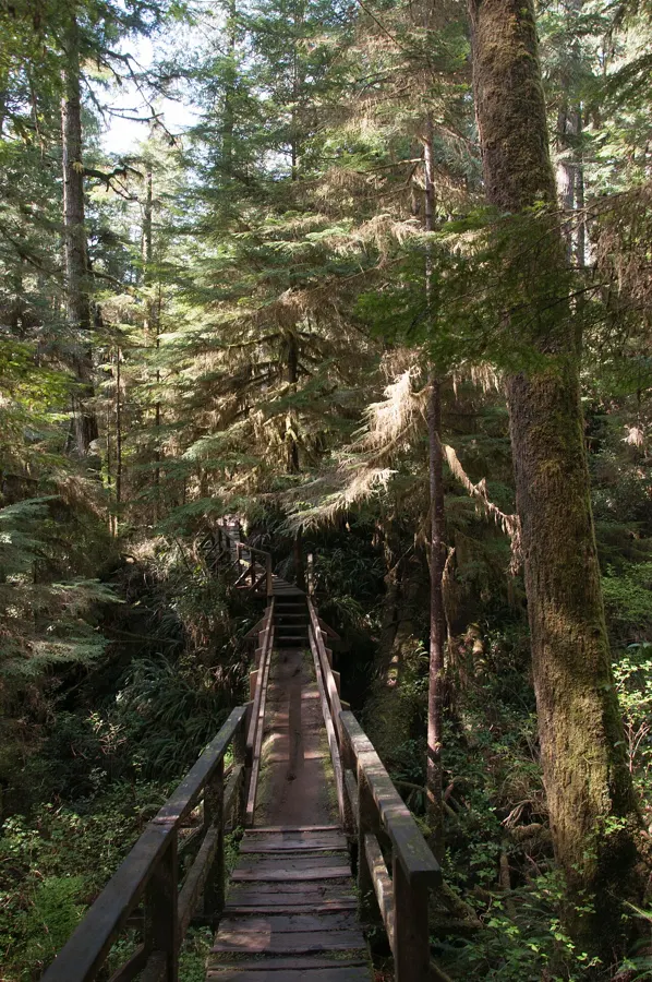
Moderate · 1 km
Outdoors
The twin of Trail A: another 1 km boardwalk loop through dripping old growth. Do both loops for a quick rainforest fix.
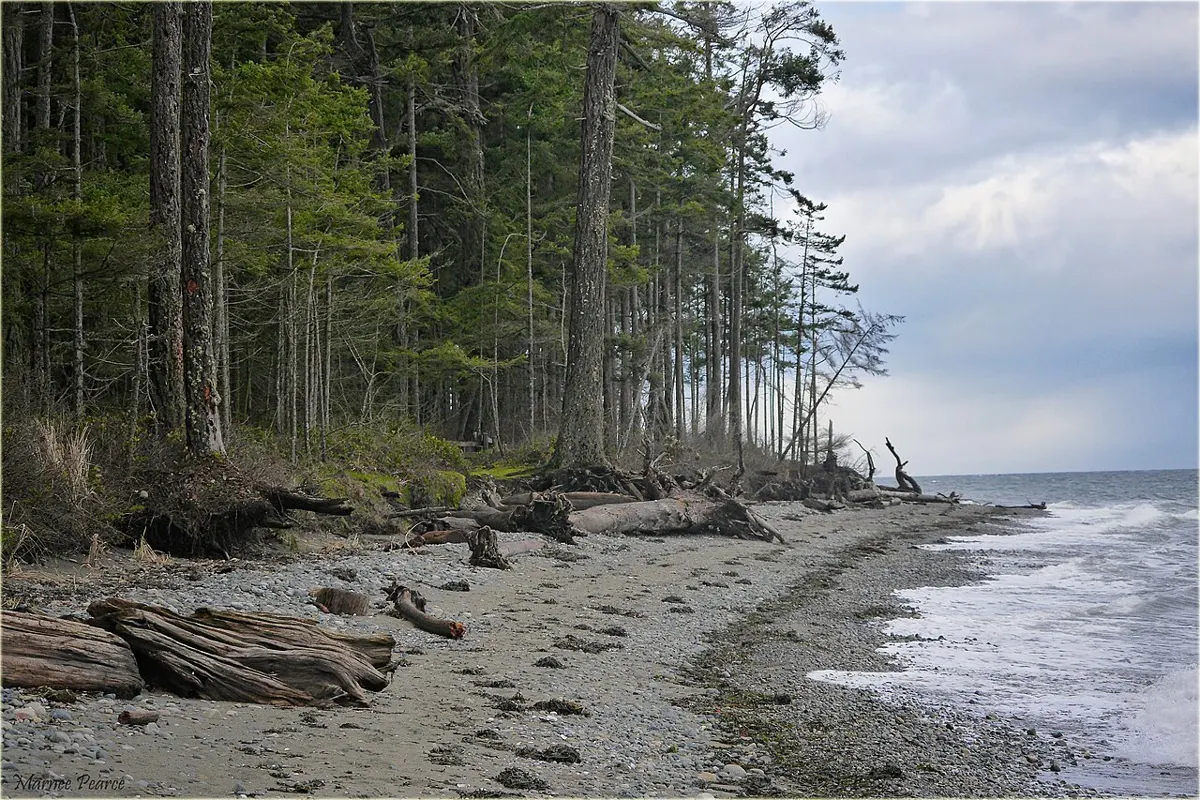
Easy · 2 km
Outdoors
Wide sandy beach that drains almost a kilometre at low tide, plus forest paths through old-growth.
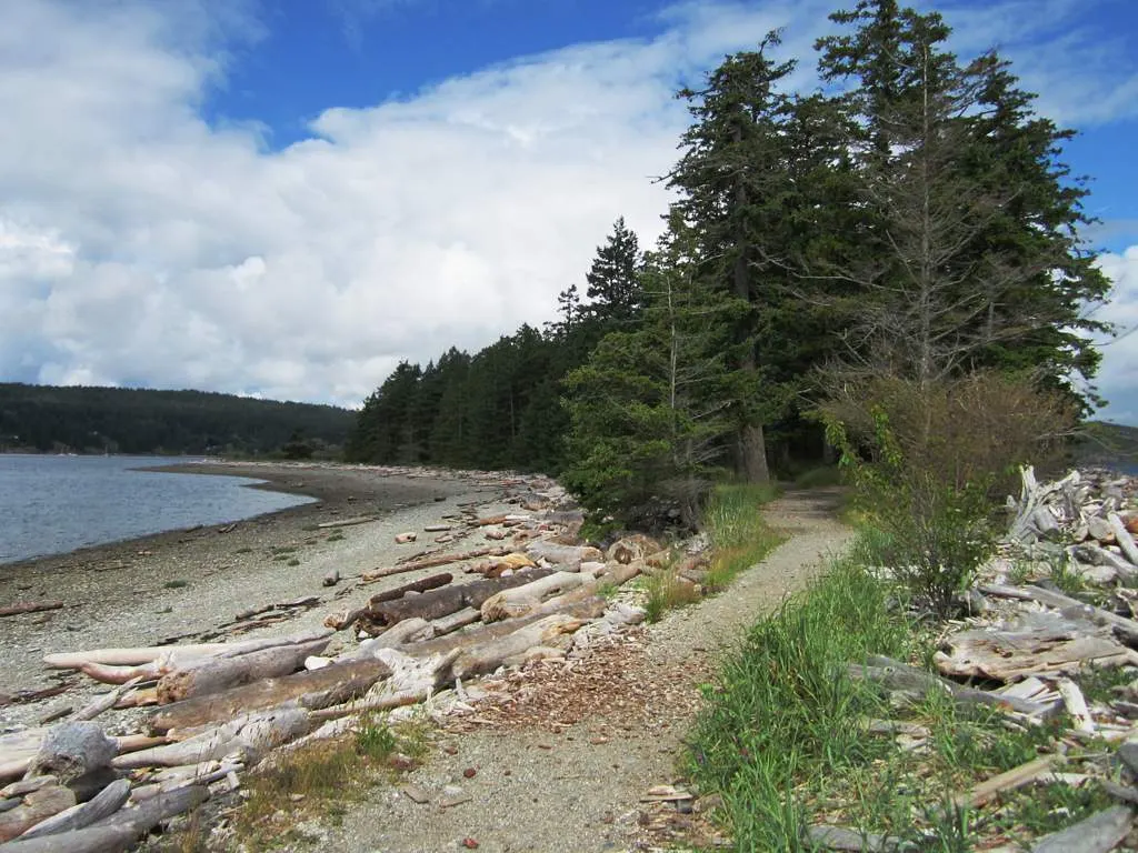
Easy
Outdoors
An easy trail along both sides of a 2 km-plus sand spit, with views over Drew Harbour and Discovery Passage.
Moderate
Outdoors
A moderate forest hike to lookouts over Menzies Bay and Seymour Narrows, where the Ripple Rock peak was blasted away in 1958.
Easy · 1 km
Outdoors
Quick walk through second-growth fir to sandstone ledges, a shell midden beach and a quiet picnic spot, with herons, eagles and sea lions to watch offshore.
Easy · 13 km
Outdoors
A paved waterfront path bordering Discovery Passage, 13 km return, for walkers, strollers and bikes.
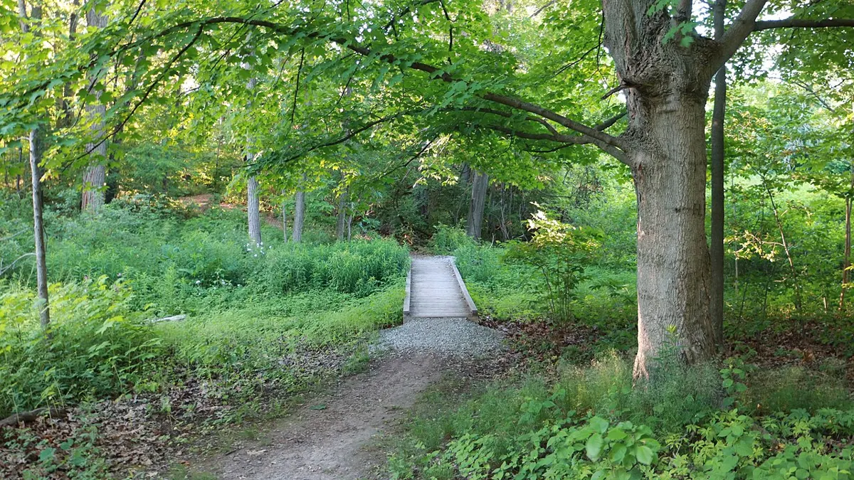
Easy · 5 km
Outdoors
Wander forests, lawns and gardens around Hatley Castle and the lagoon edge on one of Greater Victoria's best-kept walking secrets.
Easy
Outdoors
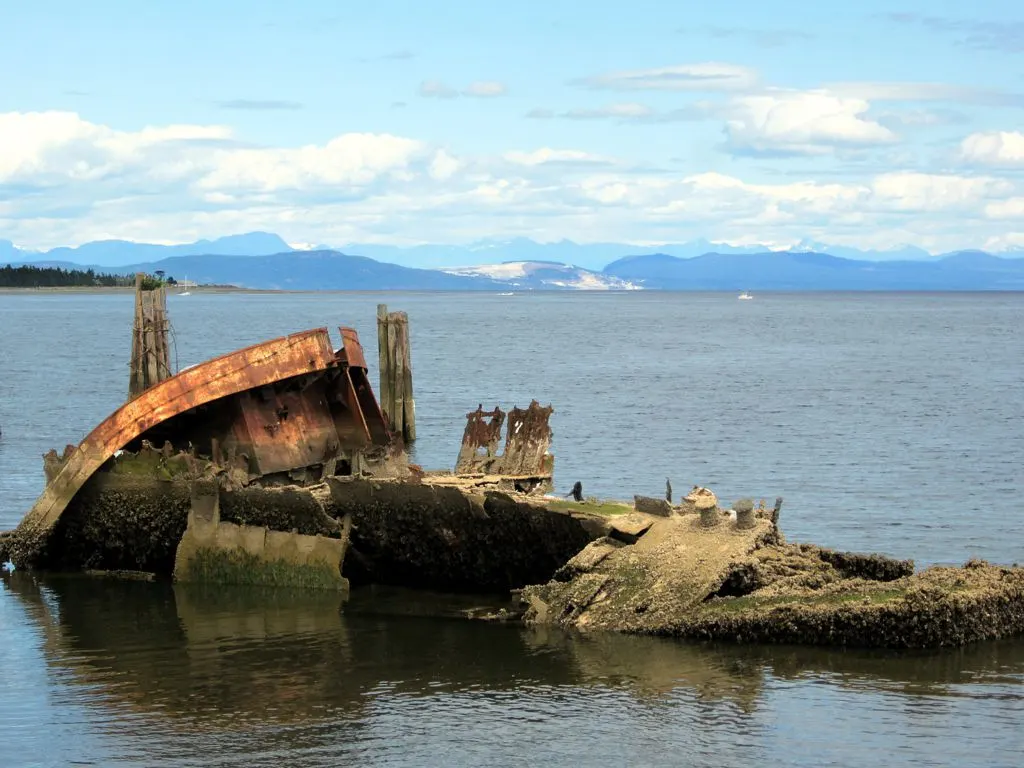
Waterfront walk beside Baynes Sound with views of the Royston shipwreck breakwater and tidal flats.
Easy
Outdoors
Coastal trail along rocky headlands to Yeo Point, part of more than 15 km of park trails with inland routes of varying difficulty.
Easy
Outdoors
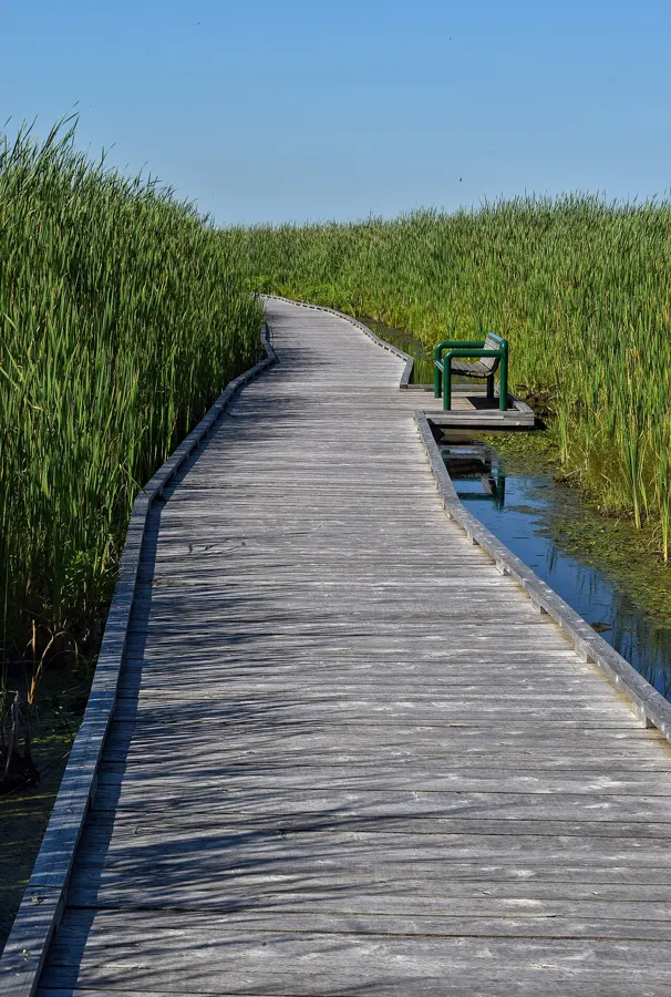
Flat accessible trail along Somenos Creek and marsh on the edge of Duncan, with six entrances including one at the Somenos Marsh Classroom.
Easy · 2.5 km
Outdoors
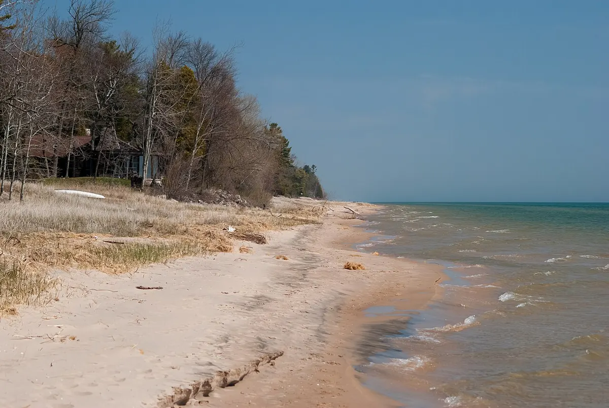
A flat, well-graded gravel path through rainforest drops you onto a huge sandy bay with sea stacks to wander at low tide. The easiest taste of the wild northwest coast.
Easy · 1.6 km
Outdoors
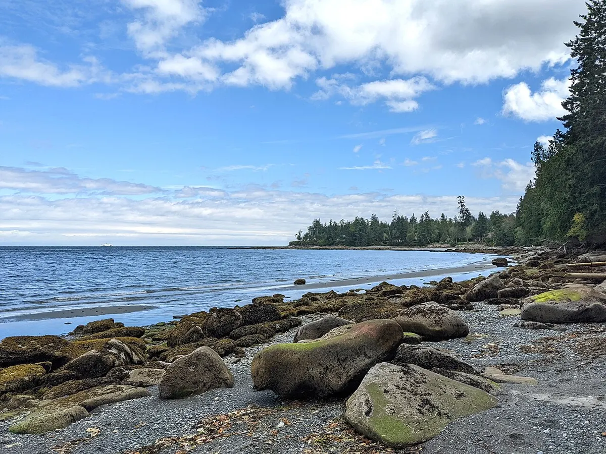
A short wooded path drops to Lock Bay's sandy beach and picnic area, with Strait of Georgia views and a petroglyph in the sandstone, reachable on foot at low tide.
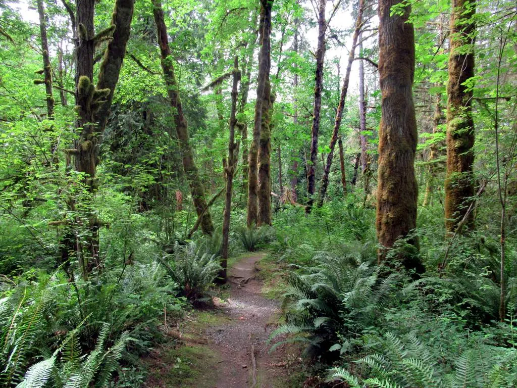
Easy · 1 km
Outdoors
Over a kilometre of forest walking with interpretive signs leading to a sandy beach and swimming holes on the Cowichan River, a summer tubing favourite.
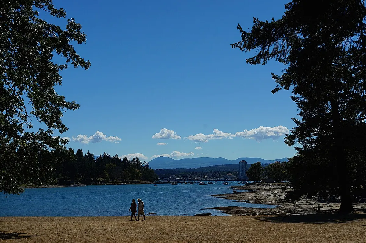
Moderate · 8 km
Outdoors
Car-free island trip: a roughly 10 minute foot-ferry ride, then forest and shoreline trails with old quarry and midden history.
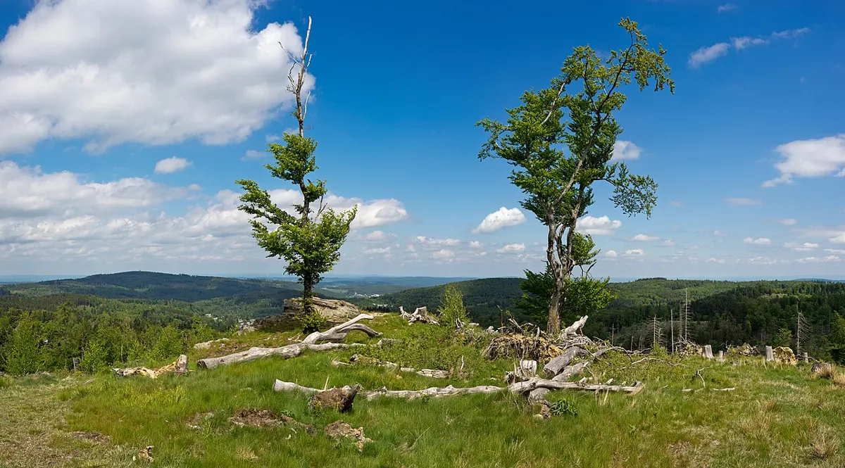
Easy · 1.6 km
Outdoors
A short forest loop in town along Schoolhouse Creek.
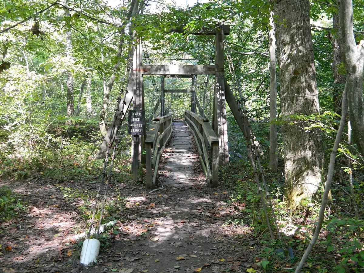
Moderate
Outdoors
Multi-use forest trail across the Roger Creek ravine with salmon-habitat viewing and a steep or flat route option.
Easy · 7.3 km
Outdoors
A big coastal forest park with a 7.3 km multi-use loop, ponds, rare plants and nearly a kilometre of beach; good for dog walks and bird-watching.
Moderate
Outdoors
A coastal path through second-growth forest to coves, beaches and rocky shoreline with great views.
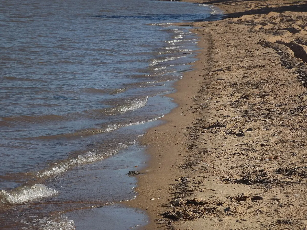
Moderate
Outdoors
Trail crossing the park from the ferry terminal to Ford Cove Marina with beach access points.
Moderate · 0.8 km
Outdoors
An 800 m boardwalk loop across a bog of stunted, centuries-old shore pines and carnivorous sundews. Odd, quiet and easy to fit into a drive.
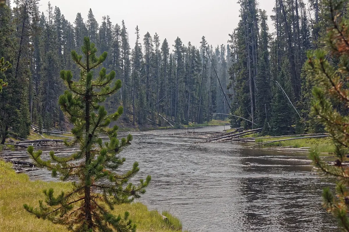
Easy
Outdoors
Day-use stop on the Cowichan River with rapids, a man-made fish ladder, and the west end of the Footpath. Fall salmon make it the best time to go.
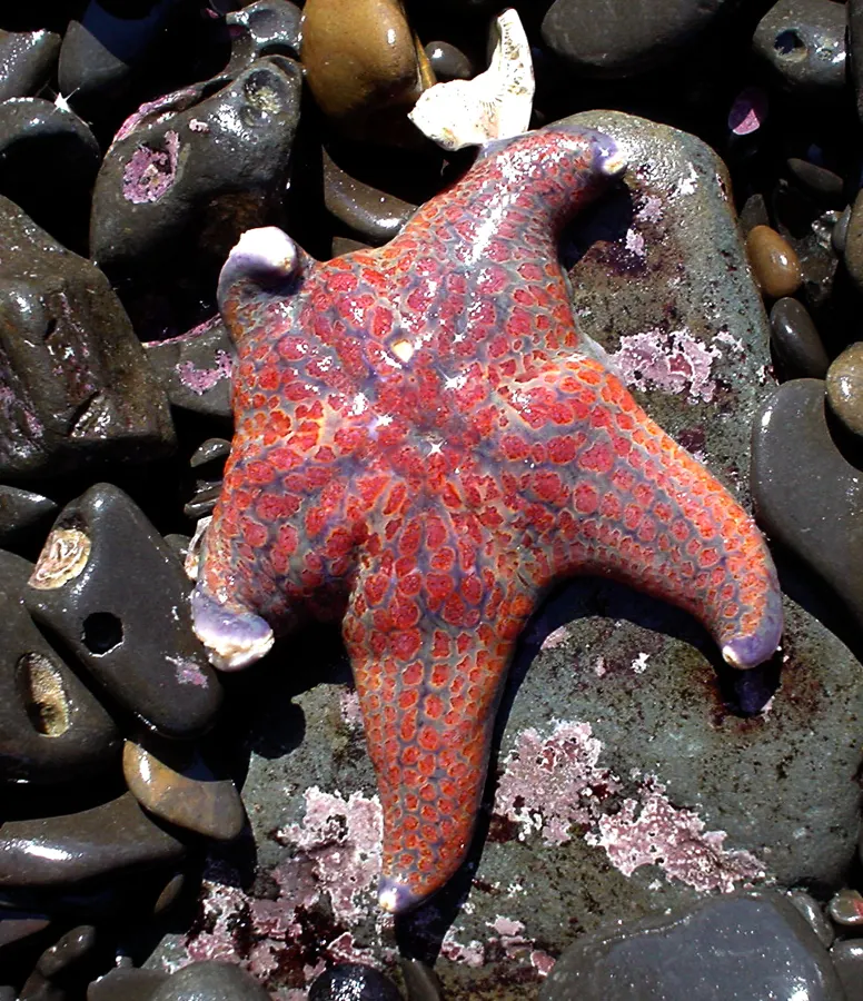
Easy
Outdoors
A low-tide beach walk from Smelt Bay toward Manson's Landing or south toward Hollyhock, good for tide pools and shorebirds.
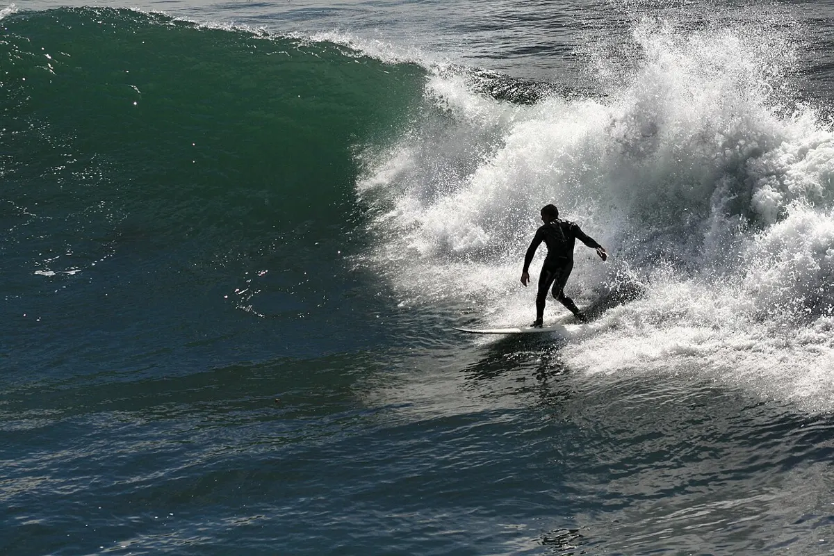
Moderate
Outdoors
A wide cobble-and-sand beach with a river mouth and a waterfall, famous for winter surfing. Walk the shore or tackle the Marine Trail in either direction.
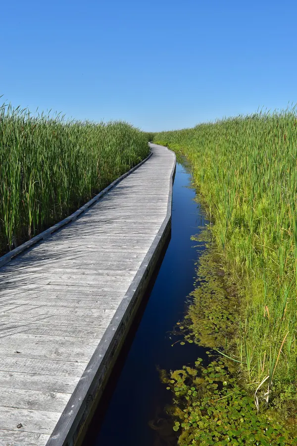
Easy
Outdoors
Accessible boardwalk through a natural marsh area beside Duncan, a quiet spot for watching birds.
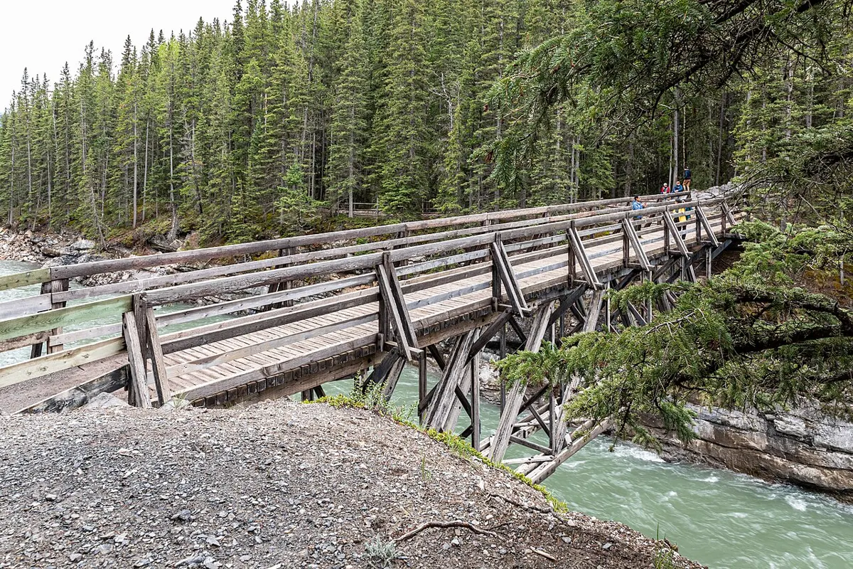
Easy
Outdoors
Short forest paths and lookouts above the glacier-carved rock pools of the Sooke River, with the Galloping Goose running through the park.
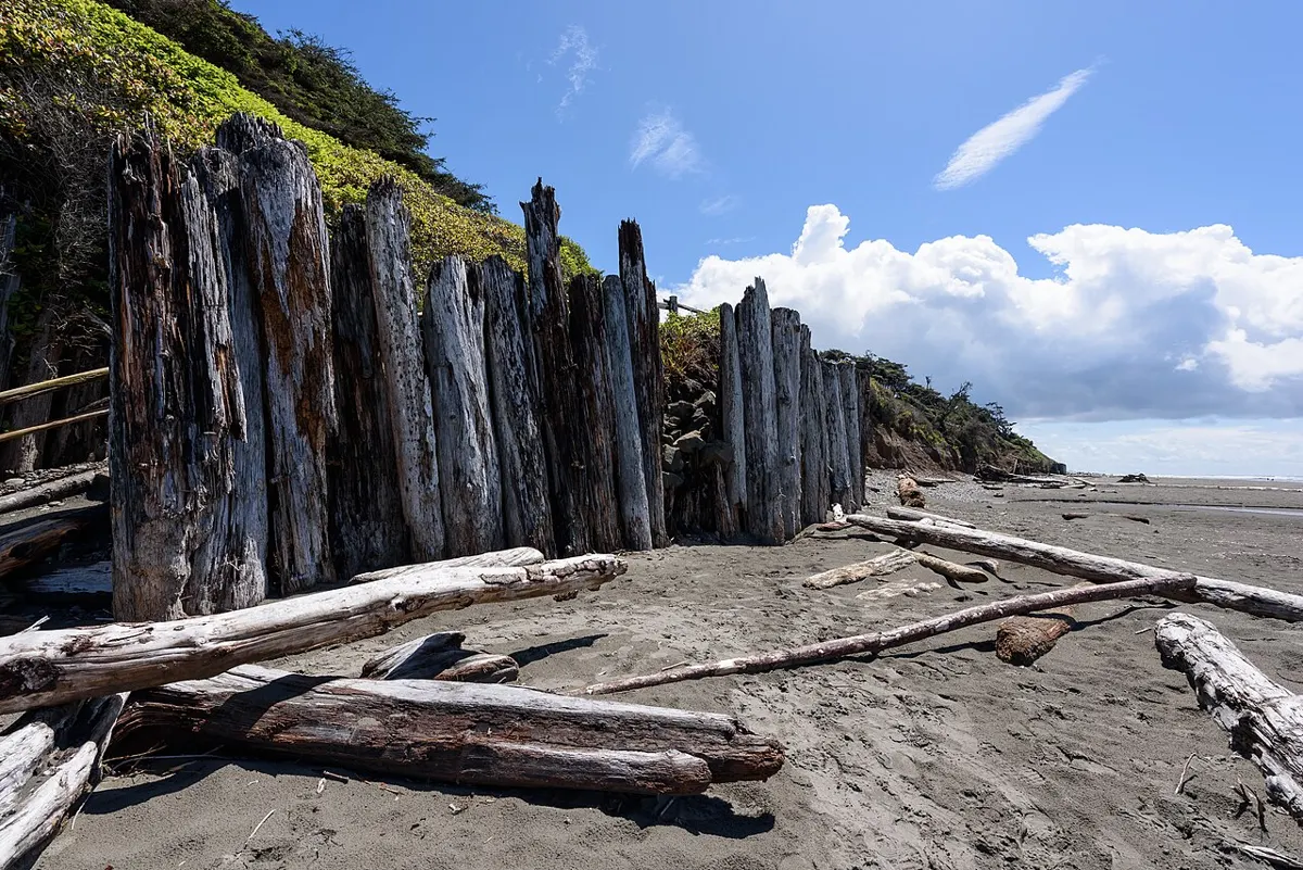
Moderate · 0.8 km
Outdoors
A short walk to a rugged pebble beach beside Wickaninnish. Big waves, driftwood and wild water rather than swimming sand.
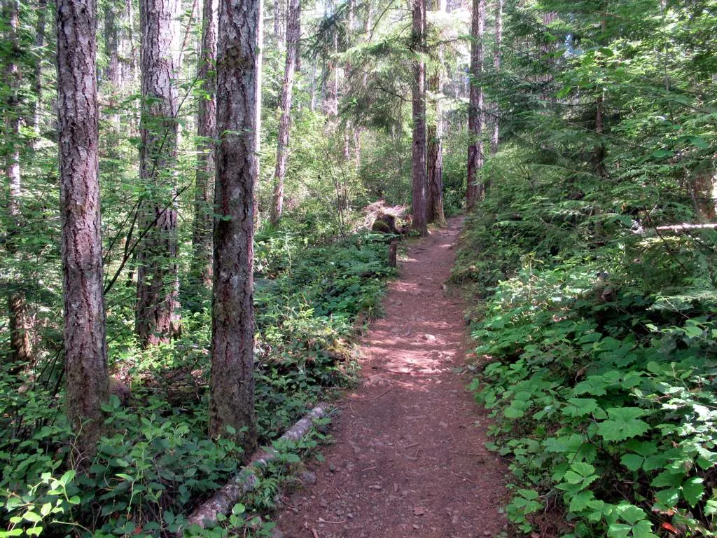
Easy
Outdoors
A spring-fed lake on the Malahat with forest trails, a beach and picnic tables, a quick nature break and a summer swim.
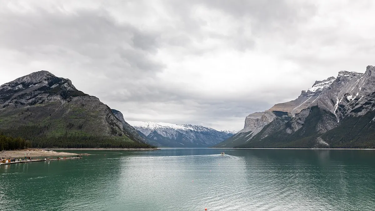
Easy
Outdoors
A quiet lake park with a short easy trail linking two day-use areas. A calm summer swim and picnic spot without crowds.
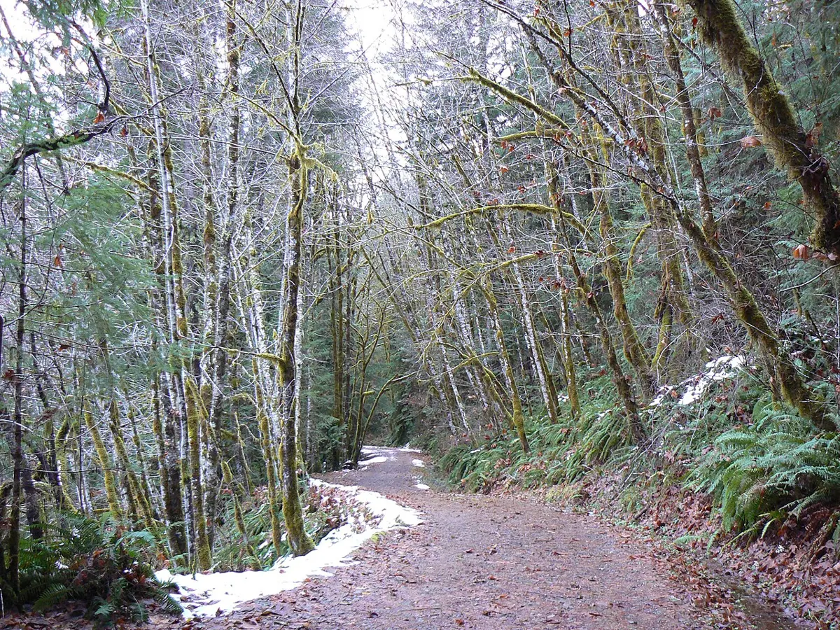
Easy
Outdoors
Riverside paths to the falls and fish ladder; thousands of salmon run here from late August into December.
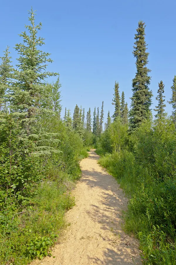
Moderate · 3.2 km
Outdoors
A 3.2 km loop from a small lot to viewpoints over Sansum Narrows and Salt Spring Island.
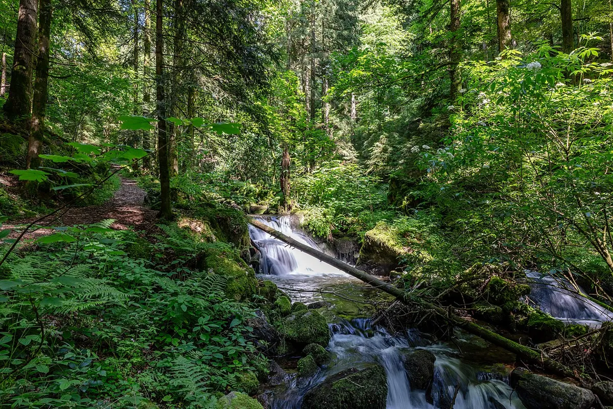
Moderate
Outdoors
A scramble down to rock pools and a small cascade on the Puntledge River; popular swimming spot in summer.
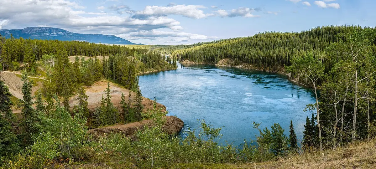
Moderate
Outdoors
A forest route along the shore to a lookout over the churning tidal rapids of Surge Narrows.

Easy · 2.5 km
Outdoors
Floating boardwalk around a lake and marsh, plus a short climb up Christmas Hill for city views; excellent birdwatching.
Easy · 0.5 km
Outdoors
A half-kilometre interpretive path to Terrace Beach, with a sheltered cove and connection into the Lighthouse Loop. Easy with kids.
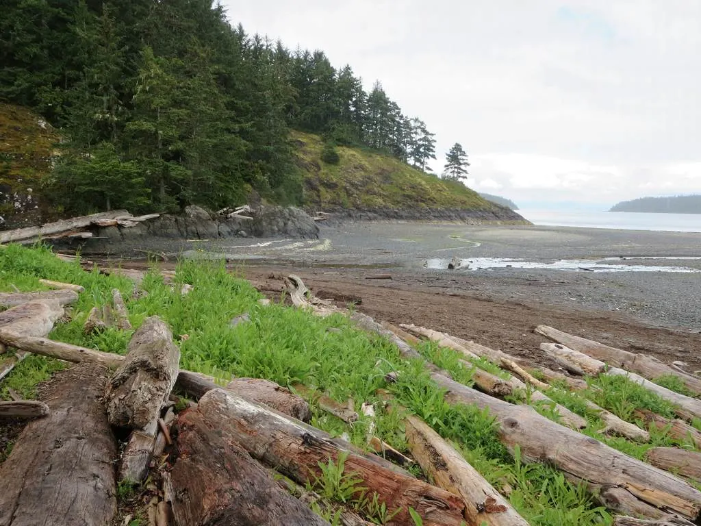
Hard
Outdoors
A long, demanding out-and-back near Port Hardy, managed by the Regional District of Mount Waddington. Budget a full day, at least 8 hours round trip.
Easy
Outdoors
Gentle path past the old cement works ruins to the sheltered inlet behind Butchart Gardens; history and quiet water.
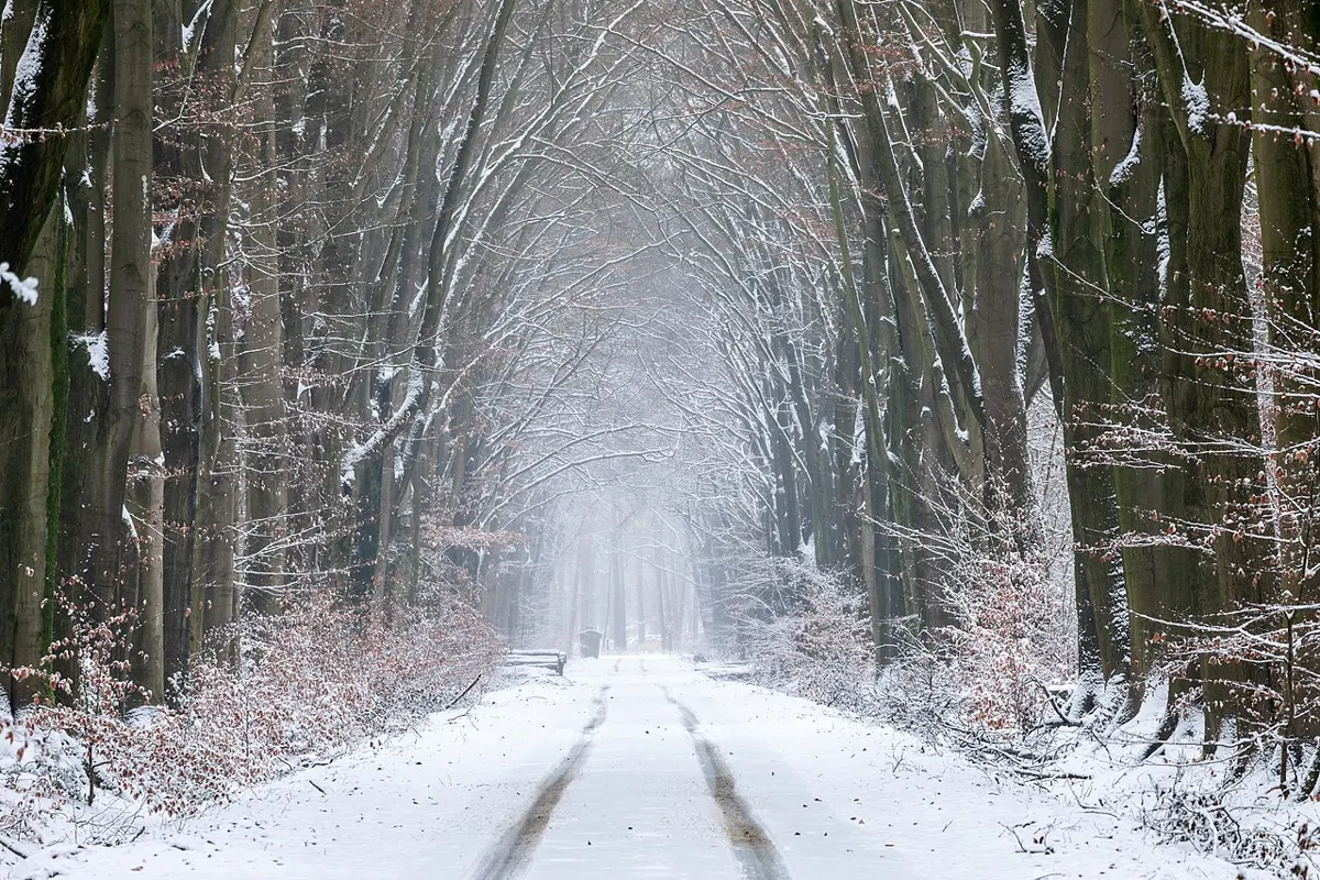
Easy · 8.8 km
Outdoors
A paved year-round path alongside the highway linking Tofino town to Mackenzie, Chesterman and Cox Bay beaches. Easy bike or walk.
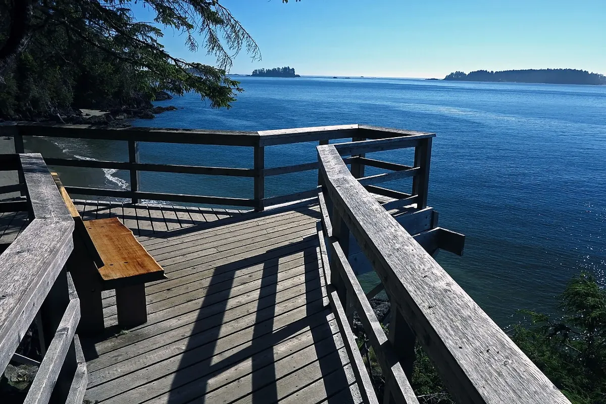
Moderate · 3 km
Outdoors
Old-growth forest walk from the Community Hall out to Tonquin, Third and Middle Beaches, with ocean lookouts; the Tonquin Beach end is a sunset favourite.
Moderate
Outdoors
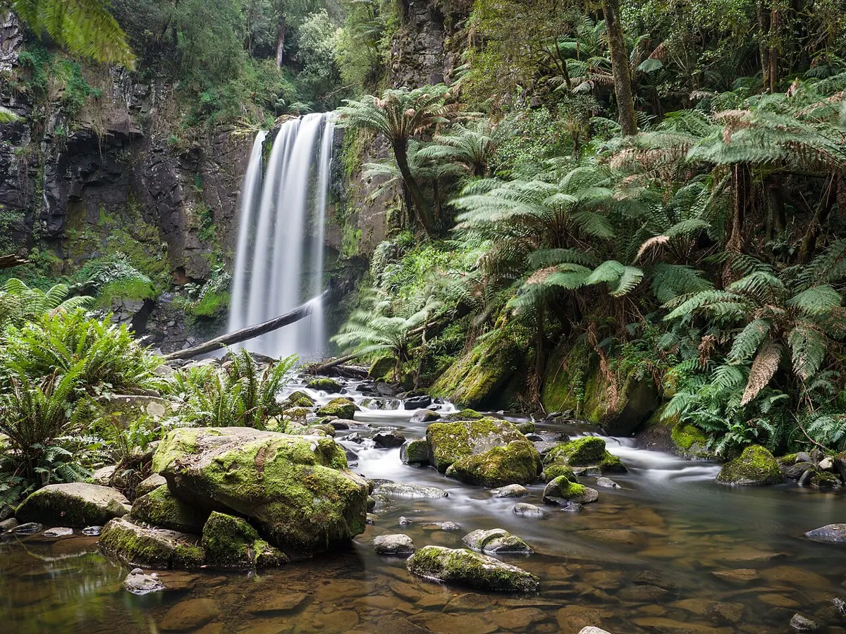
Riverside forest trail to small cascades along the Trent River, a quiet local stroll.
Easy
Outdoors
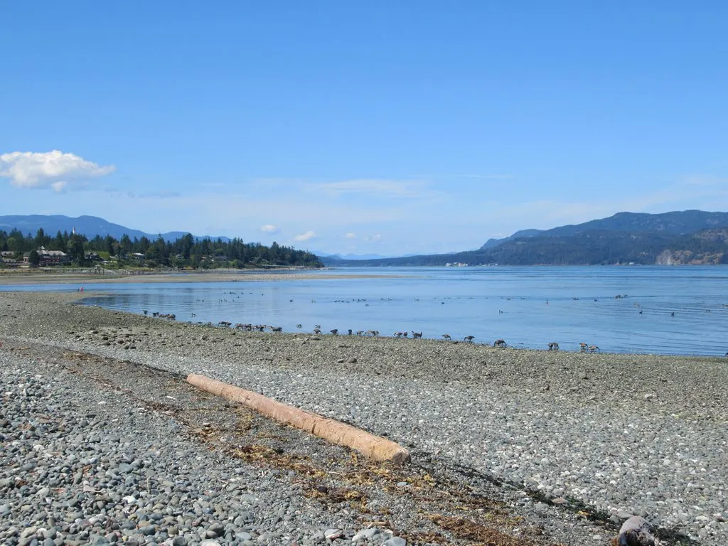
A flat shoreline stroll along Discovery Passage and the Campbell River estuary, with eagles, seals and boat traffic.
Easy · 3 km
Outdoors
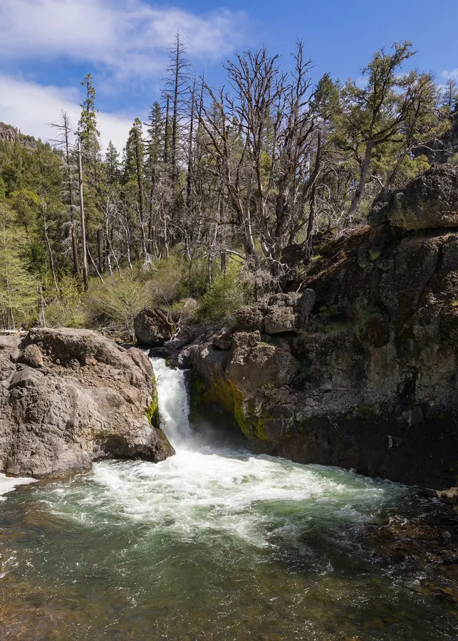
Walk 700 m of gravel road then forest trail through old growth to a waterfall.
Easy
Outdoors
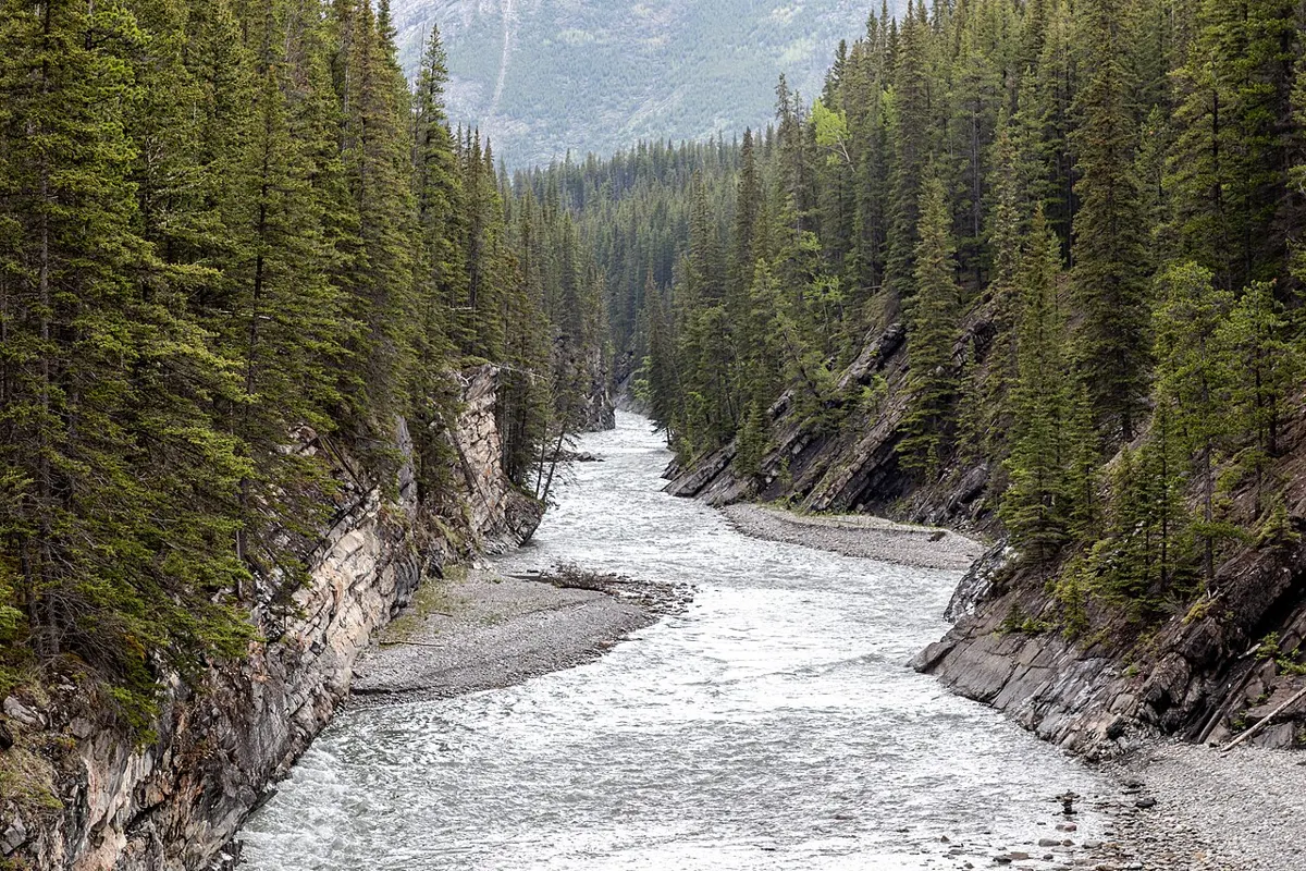
A short trail and stairway through a wooded ravine linking upper Cowichan Bay with the waterfront village.
Hard · 75 km
Outdoors
The legendary 75 km coastal trek; the north end starts at Pachena Bay with a mandatory orientation. A bucket-list multi-day commitment, only open in summer and fully reservation-based.
Easy · 4 km
Outdoors
Harbour-edge pathway linking downtown with Esquimalt, passing Fisherman's Wharf, kayaks, cafes and views of the working harbour.
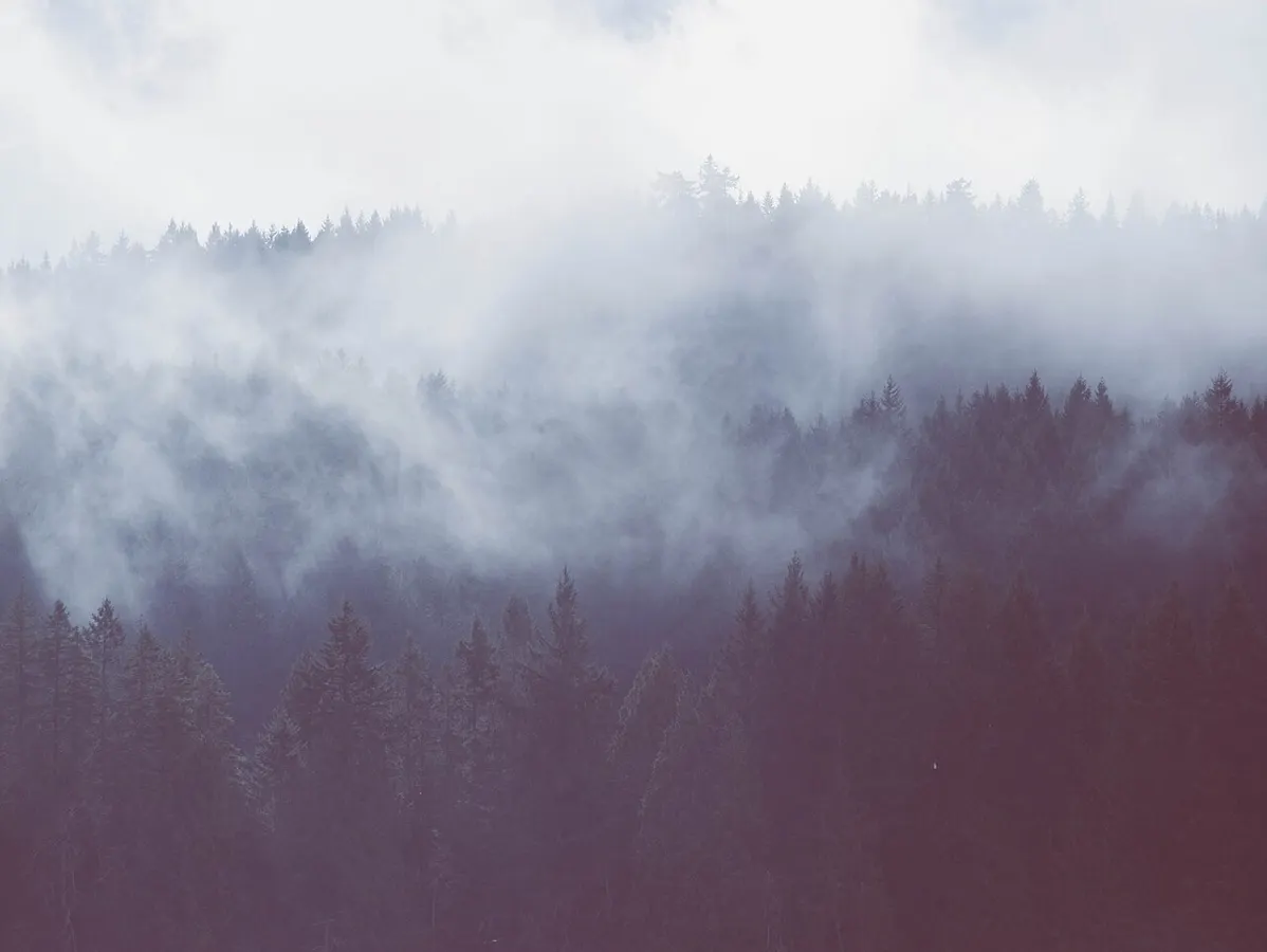
Easy · 5.5 km
Outdoors
Popular gravel loop around a lake in the Mt Benson foothills, good for walkers, runners and dogs.
Easy
Outdoors
A flat walk out along a narrow spit that nearly closes off Sooke Harbour, ending at a small light with views of the Olympics and passing boats.
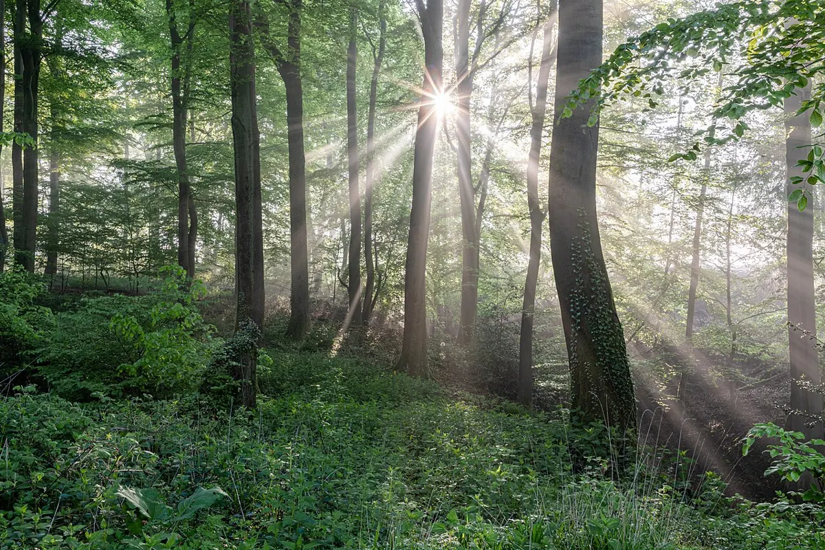
Easy · 1 km
Outdoors
A short shaded loop through giant old cedars on the Wild Pacific Trail. Good for a drizzly day or when you want trees more than ocean.
Moderate · 5 km
Outdoors
The longer, wilder stretch of the Wild Pacific Trail, running from Big Beach along headlands toward Rocky Bluffs. Fewer crowds, big surf views.
Easy · 2.6 km
Outdoors
The headline stroll of the Wild Pacific Trail: a loop past the Amphitrite lighthouse, cliff viewpoints and ancient spruce, with storm waves to watch in winter.
Hard · 11 km
Outdoors
An 11 km one-way coastal trail of beaches and headlands on Flores Island, reached by water taxi from Tofino; a permit is required.
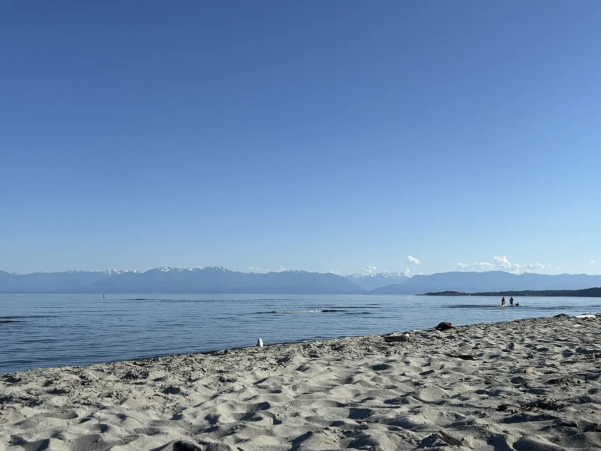
Easy
Outdoors
Tidal lagoon, long sand spit and a thin waterfall (Sitting Lady Falls) with birdlife and tide-flat beachcombing.
Hard
Outdoors
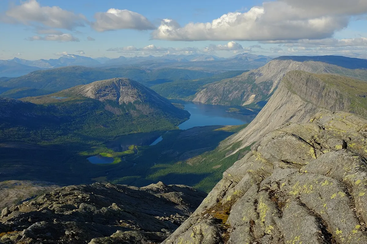
A steep, strenuous climb to a volunteer-restored fire lookout with views of Woss Lake, the Nimpkish Valley and the Bonanza range.
Moderate · 12 km
Outdoors
A historic route up the Tahsis River valley about 12 km to Woss Lake, with wilderness camps and Rugged Mountain views.
Easy
Outdoors
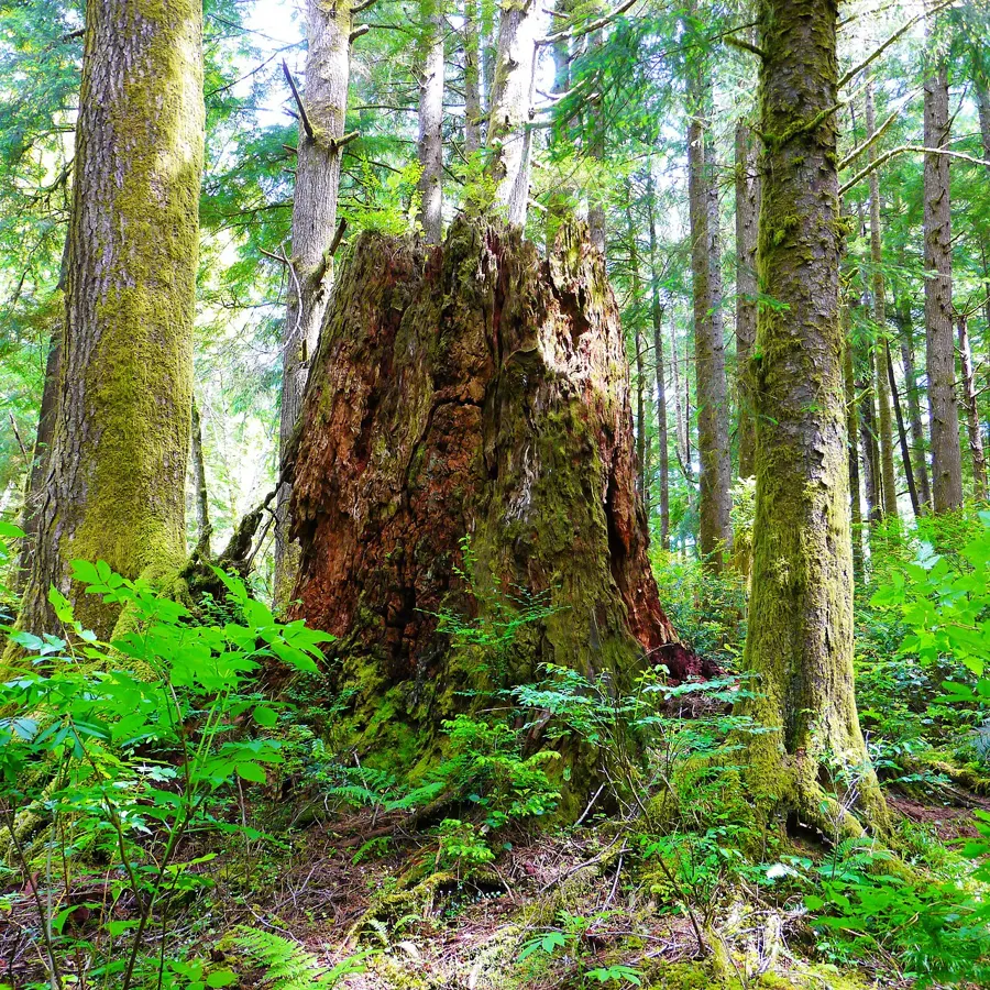
Forest trails in a natural-area park once called Echo Heights, with an audio guide to the Hul'q'umi'num' names on its trails.
Moderate · 25 km
Outdoors
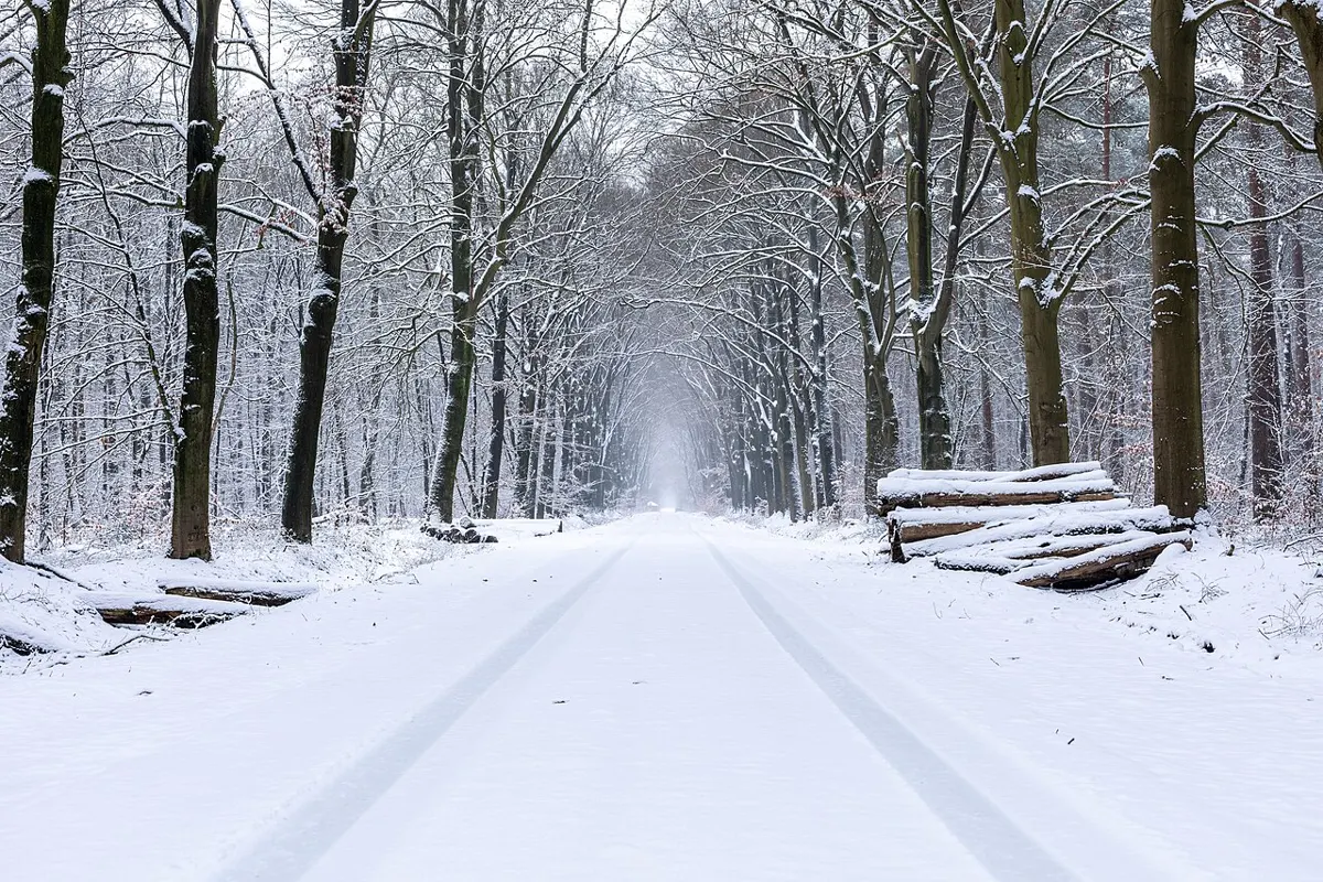
A 25 km paved pathway across the Long Beach Unit for walkers and cyclists, with steep hills at km 9 and km 14. Best April to October.