Trail 📍 Strathcona Park · Strathcona Provincial Park (Buttle Lake)
Flower Ridge Trail
Hard 6 km trail near Strathcona Park (Strathcona Provincial Park (Buttle Lake)), about 5 h, 1250 m elevation.
Checked
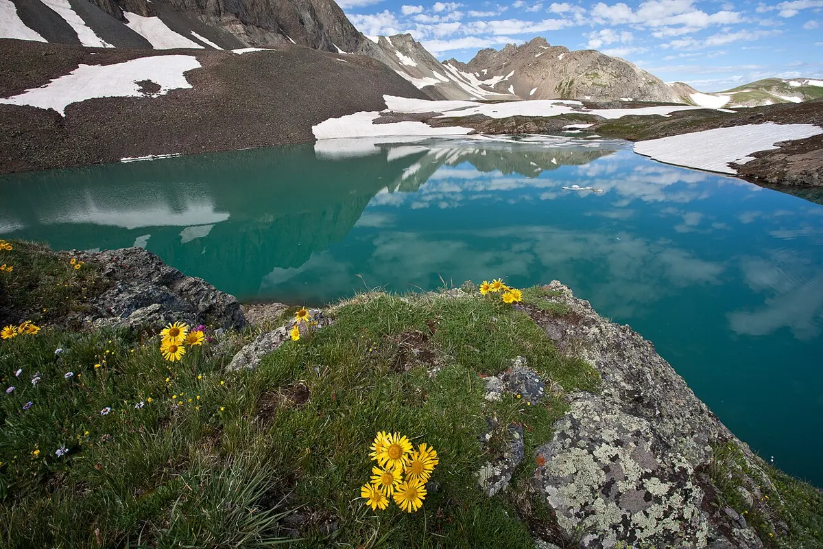
Stock photo: mypubliclands / Public domain (Wikimedia Commons)
Steep, rough climb onto an open alpine ridge with striking viewpoints over Buttle Lake and the surrounding peaks.
- Difficulty
- Hard
- Length
- 6 km
- Elevation
- 1250 m
- Time
- 5 h
- Seasons
- summer, fall
Trailhead: Buttle Lake Road · Open map
Highlights
- Open ridge hiking
- Big alpine views
Sources
- Source: bcparks.ca · checked Nov 14, 2026