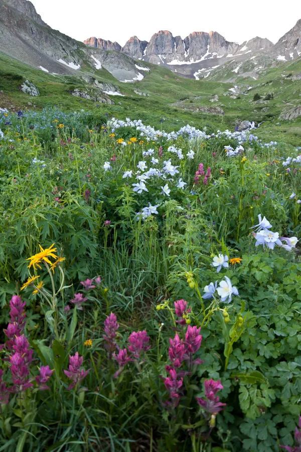
Trail 📍 Strathcona Park · Strathcona Provincial Park (Buttle Lake)
Marble Meadows Route (boat access)
Hard 6.6 km trail near Strathcona Park (Strathcona Provincial Park (Buttle Lake)), about 6 h, 1250 m elevation.
Checked
Stock photo: mypubliclands / Public domain (Wikimedia Commons)
A boat-assisted climb to alpine meadows and limestone formations; a serious day for experienced hikers.
- Difficulty
- Hard
- Length
- 6.6 km
- Elevation
- 1250 m
- Time
- 6 h
- Seasons
- summer, fall
Trailhead: Phillips Creek Marine Campsite on Buttle Lake (reach by boat from Auger Point or Karst Creek) · Open map
Highlights
- Alpine meadows
- Limestone formations
- Viewpoints
Sources
- Source: bcparks.ca · checked Nov 14, 2026