Bored. Map
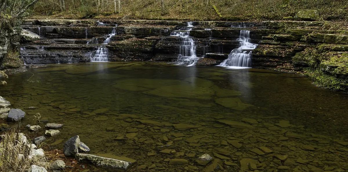
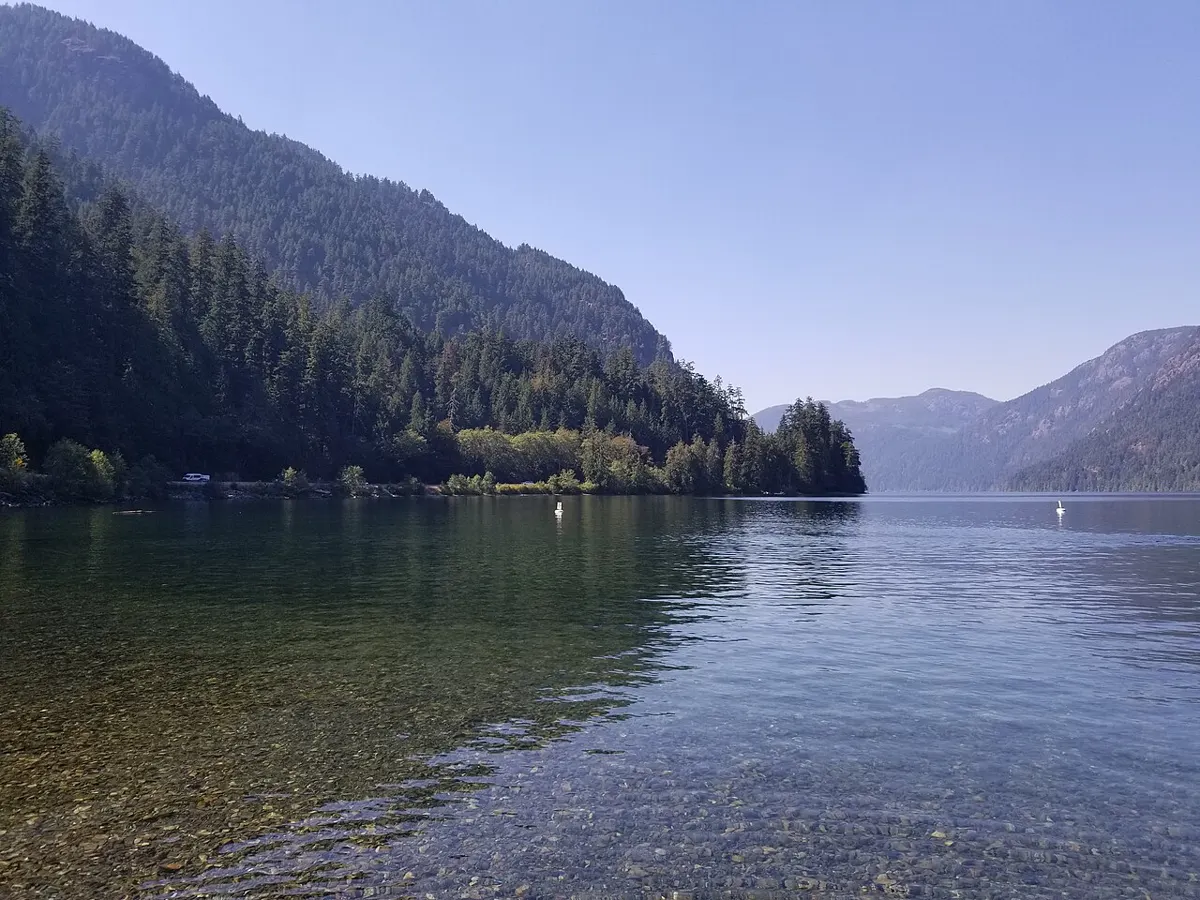
Cameron Lake, Vancouver Island

Trail 📍 Hwy 4 corridor · Little Qualicum Falls Provincial Park (Cameron Lake)

Cameron Lake and Beaufort Day-Use

Easy trail near Hwy 4 corridor (Little Qualicum Falls Provincial Park (Cameron Lake)), about 0.75 h.

Checked

Photo: Plateau6485 / CC BY-SA 4.0

Lakeside picnic spots and short shore walks on an alpine-fed lake, known for wind sports and summer swimming.

Difficulty
Easy
Time
0.75 h
Seasons
spring, summer, fall

Trailhead: Cameron Lake and Beaufort day-use areas, Hwy 4 · Open map

Highlights

Pit stops

Sources

Things to do here

Goes well with

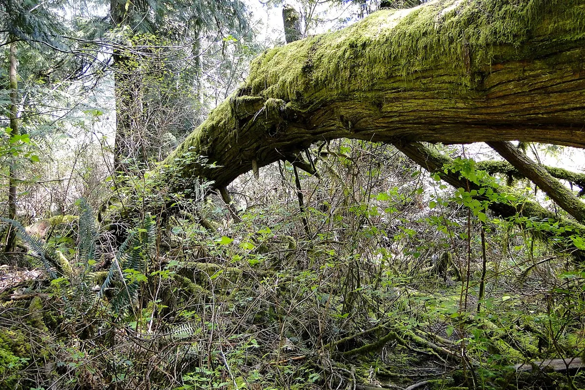
Cathedral Grove old-growth forest

Cathedral Grove (MacMillan Provincial Park)

Hwy 4 corridor · Park / old-growth forest

  • Free entry
  • about 1 h there

Outdoors

Short flat walks among ancient Douglas firs beside Hwy 4; a roadside stop between Parksville and Port Alberni.

See details
Robertson Creek Fish Hatchery

Robertson Creek Fish Hatchery

Port Alberni · Fish hatchery

  • About $5–15/person estimate
  • about 1 h there

Outdoors

Free self-guided DFO hatchery with signage and parking. Chinook and coho adults return September to November, steelhead in February, and juveniles are there year-round. Great for kids.

See details
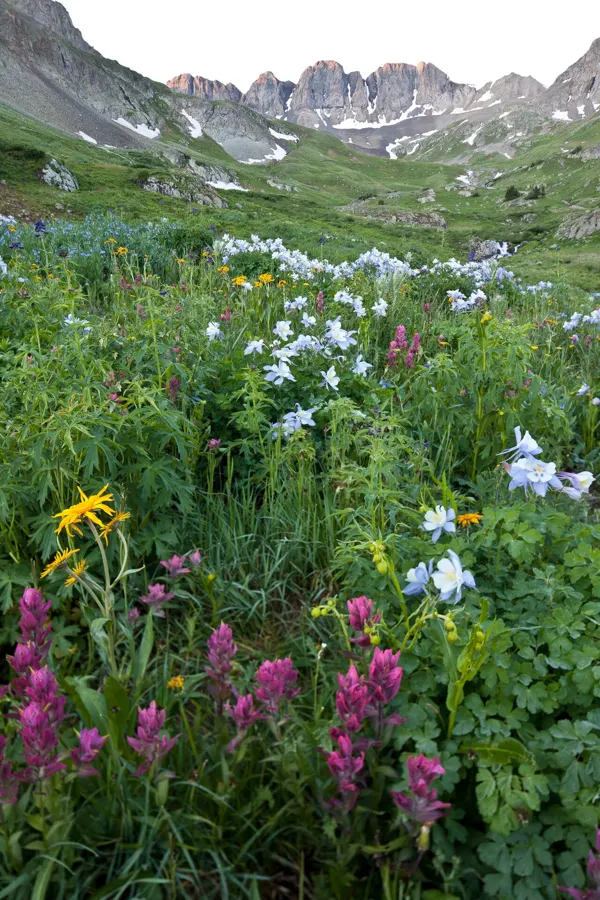
Wildflower meadow of columbine and paintbrush with rugged peaks in the distance

Arrowsmith CPR Regional Trail

Hard

  • Free
  • 13 h there

Outdoors

Long, tough route up to the Arrowsmith alpine, rated by the RDN at a minimum of 12 to 14 hours.

See details
Mount Arrowsmith

Mount Arrowsmith Massif Alpine Routes

Hard

  • Free
  • 8 h there

Outdoors

Backcountry alpine routes across more than 1,300 hectares around Mount Arrowsmith and Mount Cokely, for experienced hikers.

See details